
Japanese京都盆地と文化財の密度
The Kyoto Basin and Its Density of Cultural Properties
Other spellings and namesKyoto Basin / Kyoto City topography / Kyoto temples and shrines
In short
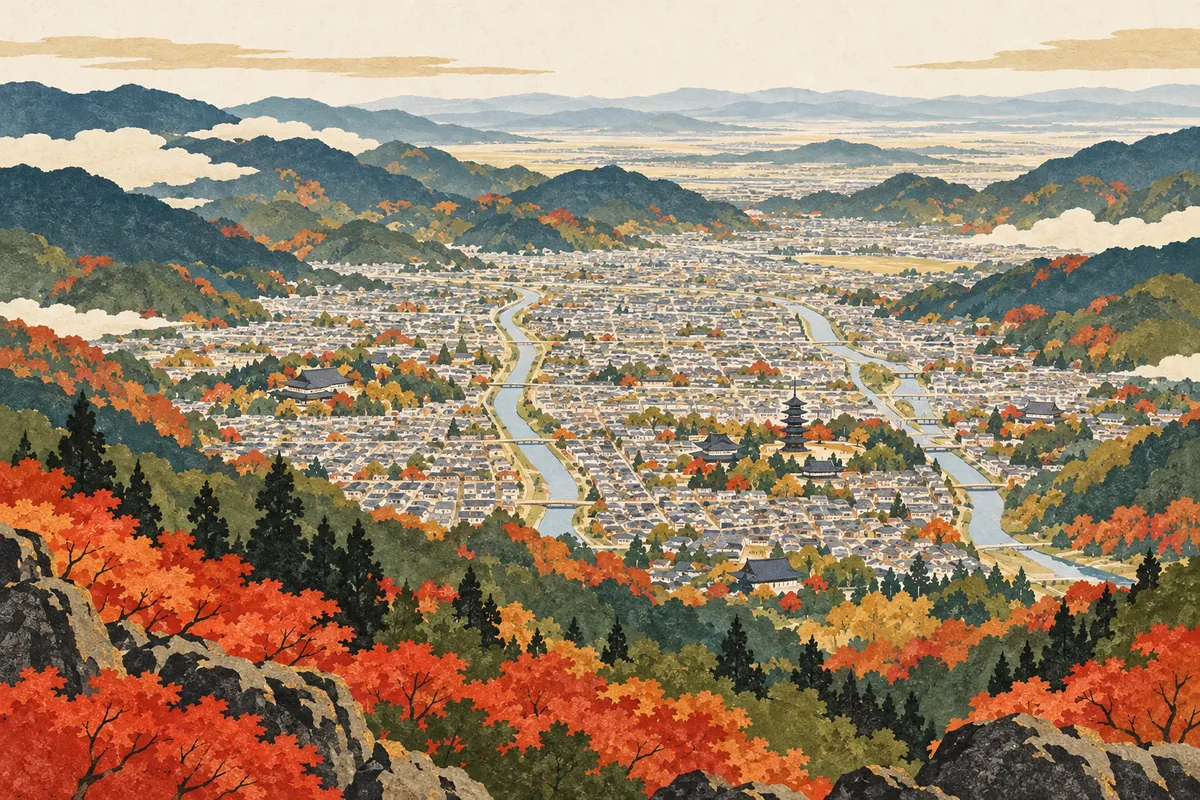
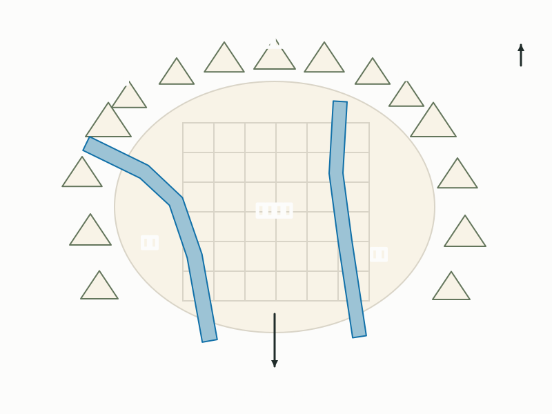
The Kyoto Basin is enclosed by Mount Hiei and the Higashiyama range to the east and by Mount Atago and the Kitayama range to the west and north, and it opens to the south. Kyoto's urban area developed mainly within this basin, with the Kamo and Katsura rivers flowing through it from north to south. The city stretches about 49.5 km from north to south and covers 827.83 km², and it holds about 20% of Japan's National Treasures.Key points in 30 seconds
The city spreads across the Kyoto Basin, surrounded by mountains on three sides and open to the south
Kyoto City measures about 49.5 km north to south and about 29.2 km east to west
The city has 217 National Treasures, 18.9% of Japan's total (as of April 1, 2026)
A capital in a basin ringed by mountains
Kyoto City lies in the southern part of Kyoto Prefecture and spreads mainly over the northern half of the Kyoto Basin.
Kyoto's urban area developed mainly within the Kyoto Basin, which is surrounded by mountains.
A city that is long from north to south
From the southern tip of Kyoto City to its northern tip is about 49.49 km.
A city full of temples, shrines, and National Treasures
Kyoto City has more than 1,000 temples and shrines.
About 20% of Japan's National Treasures are in Kyoto City.
How was the basin formed?
The main part of the Kyoto Basin is thought to have been the bottom of a lake during the Pleistocene. The land is then said to have risen, and sediment carried by rivers piled up to form today's terrace-like basin.
The landscape enclosed by mountains on three sides has long been cherished as a capital of "purple mountains and clear waters" (sanshi suimei), but being an inland city has also limited the growth of the urban area and transportation. The basin's terrain shows in the climate too: summers are hot and humid, and winters are known for Kyō no sokobie, the deep, bone-chilling cold of Kyoto.
The mountains around the Kyoto Basin and the rivers that run through it
Where are the city's edges? Most of its area is northern mountains
The city's northern tip is the summit of Mount Mikuni (Mikunidake) in Kuta Kaminochō, Sakyō Ward, and its southern tip is the north bank of the Kizu River in Yodo Namazu-chō, Fushimi Ward. Measured in 2007, the city spans 49.49 km from north to south and 29.18 km from east to west.
The city was not always this large. When it was established in 1889, it covered about 30 km², and after repeatedly absorbing surrounding towns and villages, it had grown to about 610 km² by 2001. About 60% of that area was forest, about 20% residential land, and about 10% farmland, with the forests concentrated in the north and west.
The city covers 827.83 km², but the differences between wards are striking. Ukyō and Sakyō wards alone account for more than 60% of the city's area. Ukyō Ward includes the area of the former town of Keihoku, which was incorporated in April 2005. By contrast, Kamigyō, Nakagyō, Shimogyō, and Higashiyama wards are each around 7 km², and together these four wards make up only about 3.5% of the city.
Area of Kyoto City's wards
- Ukyō
- Sakyō
- Kita
- Fushimi
- Nishikyō
- Yamashina
- Minami
- Higashiyama
- Nakagyō
- Kamigyō
- Shimogyō
The northern, southern, eastern, and western edges of Kyoto City
| Direction | Location | Landmark |
|---|---|---|
| North | Kuta Kaminochō, Sakyō Ward | Summit of Mount Mikuni (border with Shiga Prefecture) |
| South | Yodo Namazu-chō, Fushimi Ward | North bank of the Kizu River |
| East | Daigo Sannokiri, Fushimi Ward | Border with Shiga Prefecture |
| West | Ōyama, Keihoku Shimoutsu-chō, Ukyō Ward | — |
Cultural properties by the numbers
As of April 1, 2026, the city has 217 National Treasures, 18.9% of Japan's 1,149, and 1,927 Important Cultural Properties including National Treasures, 14.2% of the national total. Counting all cultural properties designated or registered by the national, prefectural, and city governments, the city has 3,327 in actual number.
Of the National Treasures, 44 are buildings and 173 are fine arts and crafts. Of the National Treasure buildings, 42 belong to temples and shrines; among fine arts and crafts, calligraphy and classical texts are the most numerous at 55, followed by 42 paintings and 34 sculptures. The numbers show how temples and shrines have protected and handed down both their buildings and their treasures.
National Treasures and Important Cultural Properties in Kyoto City (tangible cultural properties)
| Category | Kyoto City | Japan | Share of national total |
|---|---|---|---|
| National Treasures (buildings) | 44 | 233 | 18.9% |
| National Treasures (fine arts and crafts) | 173 | 916 | 18.9% |
| National Treasures, total | 217 | 1,149 | 18.9% |
| Important Cultural Properties, total (including National Treasures) | 1,927 | 13,557 | 14.2% |
Mini quiz for this entry
Check what you've read with 3 multiple-choice questions.
Where in Kyoto Prefecture is Kyoto City located?
What kind of landform holds central Kyoto City?
Approximately how far does Kyoto City extend north to south?
Sources and verification
Content checked: October 11, 2026
Updated: October 11, 2026
References are in Japanese.