
Japanese洛中・洛外(らくちゅう・らくがい)
Rakuchu and Rakugai
Other spellings and namesRakuchū / Rakugai / Rakuchū Rakugai / Kyōchū and Kyōgai / 洛中洛外
In short
Rakuchū (洛中) means the inside of the capital of Kyoto, and Rakugai (洛外) the outside. The extent changed over time, and after Toyotomi Hideyoshi built the Odoi earthwork in 1591, the distinction became clear: inside it was Rakuchū and outside it Rakugai. It does not match today's Kyoto City limits.Key points in 30 seconds
"Raku" (洛) is another name for Kyoto, said to come from the Chinese capital Luoyang
Rakuchū is inside the capital, Rakugai outside it
The boundary became clear with the Odoi in 1591
It does not match today's city limits or ward boundaries
"Raku" Means Kyoto
From the Heian period onward, Kyoto came to be called "Raku" (洛), likening it to a Chinese capital. Words such as nyūraku and jōraku mean entering or going up to Kyoto, and Rakuchū and Rakugai use the same "Raku."
Explanations of the origin differ between dictionaries. One says the old city was called Rakuyō (洛陽, Luoyang), likening it to the ancient Chinese capital, and the Kamo River was called Rakusui (洛水, after the Luo River); there is also Yoshida Tōgo's theory that the left (eastern) half of the capital, Sakyō, was once called Rakuyō and the right (western) half, Ukyō, Chōan (Chang'an), and that because Ukyō declined, "Rakuyō" became the name for all of Kyoto. On the other hand, some dictionaries say it comes from kyōraku (京洛), meaning "capital," so there are several explanations of the origin.
Main words containing "Raku" (洛)
| Word | Meaning |
|---|---|
| Rakuchū (洛中) / Rakunai (洛内) | Inside the capital; from the early modern period, generally the area inside the Odoi |
| Rakugai (洛外) | Outside the capital; the outskirts |
| Jōraku (上洛) / Nyūraku (入洛) | Going up to Kyoto; entering Kyoto |
| Geraku (下洛) | Going down from Kyoto to the provinces |
| Rakutō, Rakusai, Rakunan, Rakuhoku (洛東・洛西・洛南・洛北) | The eastern, western, southern, and northern outskirts of Kyoto; their boundaries are not clear-cut |
The Boundary Has Not Always Been the Same
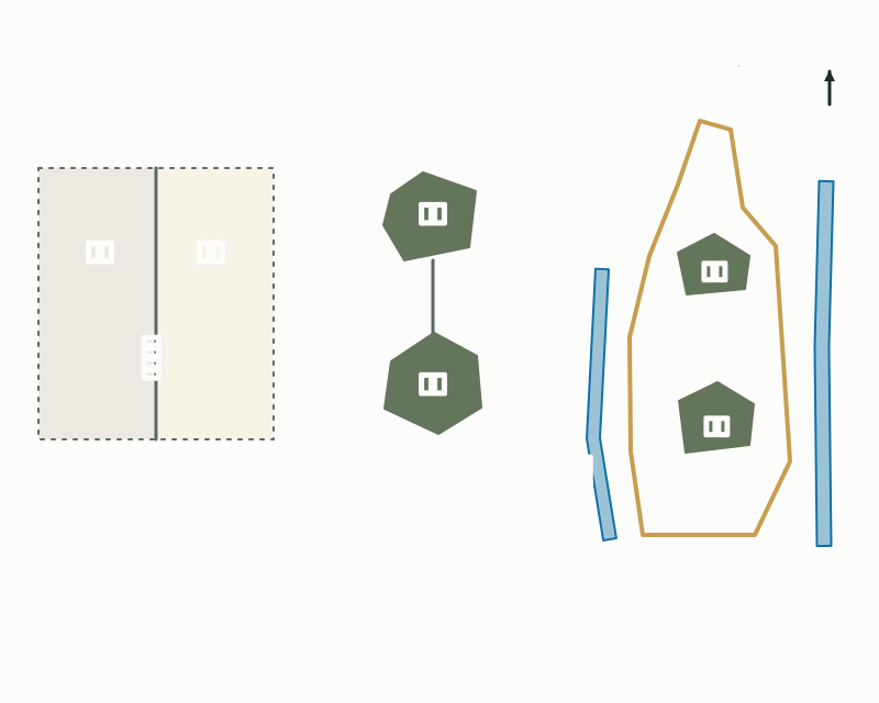
Because Kyoto's urban area expanded and shrank over time, the extent of Rakuchū and Rakugai was not fixed from the start. Heian-kyō, about 4.5 km east to west and 5.2 km north to south, eventually saw its urban area concentrate in Sakyō (the eastern half), dividing into Kamigyō in the north and Shimogyō in the south. The period after the Ōnin–Bunmei War (1467–77) is said to be when Kyoto was at its smallest as a city.
It was in this shrunken period, it is said, that a view emerged of Kamigyō and Shimogyō, together with the temple towns and port towns scattered across the basin, as a single whole. The division "Rakuchū" and "hendo" (outlying lands) was also used, but by around the 15th century it had settled into the form "Rakuchū" and "Rakugai," and it is thought to have become established in the 16th century.
How the urban area of "Rakuchū" changed
Inside and Outside, Divided by the Odoi
When Toyotomi Hideyoshi built the Odoi around Kyoto in 1591, the division became clear: inside the earthwork was Rakuchū and outside it Rakugai. The Nanakuchi ("Seven Entrances") set at key points became the gateways to Rakugai. Place names such as Kuramaguchi and Tanbaguchi are remnants of them.
However, Kyoto's urban area later spread beyond the Odoi. By the early 18th century, the city had grown past the Odoi, and following events such as the Great Hōei Fire (1708), new urban areas also formed east of the Kamo River. From early in the Edo period, the line of Rakuchū had begun to diverge from the actual extent of the town.
Kyoto as Painted in the Rakuchū Rakugai-zu Screens
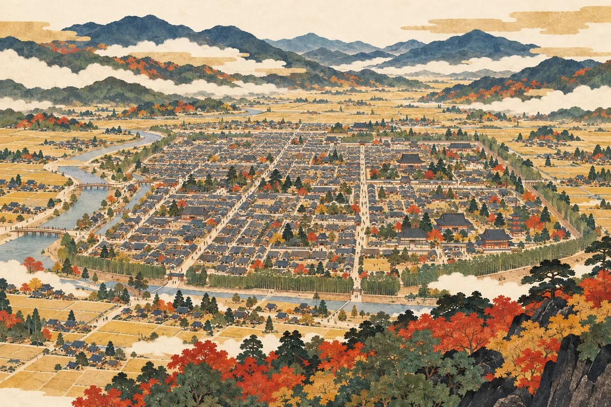
The Rakuchū Rakugai-zu byōbu (folding screens of scenes in and around Kyoto), painted from the late Muromachi period through the Edo period, survey Kyoto's city and outskirts from a bird's-eye view, depicting temples, shrines, famous sights, the four seasons, and people's lives from the imperial palace to townhouses and farmhouses. Nearly a hundred are known.
Early examples such as the Rekihaku A screens and the Uesugi screens depicted Kamigyō on one screen and Shimogyō on the other. After the construction of the Jurakudai, when Kamigyō and Shimogyō merged into a single large city, screens of the early Edo period developed a composition with the Great Buddha Hall of Hōkō-ji and Nijō Castle facing each other. Comparing the screens shows how the image of "Rakuchū" changed.
Where Is "Rakuchū" Today?
There is no "Rakuchū Ward" among today's administrative wards; Rakuchū and Rakugai are words used in historical and cultural contexts. Rakuchū as enclosed by the Odoi includes most of today's Kamigyō, Nakagyō, and Shimogyō wards. Because the eastern side of the Odoi ran along the Kamo River, the urban area of today's Higashiyama Ward east of the river falls in Rakugai by the line of the Odoi.
When discussing whether a place is "Rakuchū or Rakugai," it helps to check which era and which line you are using as the reference. If you want to see the boundary with your own eyes, the quickest way is to visit the Odoi historic sites remaining in Kita and Kamigyō wards.
Mini quiz for this entry
Check what you've read with 2 multiple-choice questions.
After 1591, what became a major boundary between Rakuchū and Rakugai?
Which of these events happened in 1591?
Sources and verification
Content checked: October 11, 2026
Updated: October 11, 2026
References are in Japanese.