
Japanese御土居(おどい)
Odoi
Other spellings and namesOdoi earthworks / Odoi remains / Rakuchū Sōgamae / 御土居
In short
The Odoi (御土居) was an earthen rampart and moat about 22.5 kilometers long that Toyotomi Hideyoshi built around Kyoto in 1591. It served for defense against enemies, as flood control against the Kamo River, and as the boundary between Rakuchū (inside the capital) and Rakugai (outside it). Nine sections survive today as National Historic Sites, in Kita Ward, Kamigyō Ward, and elsewhere.Key points in 30 seconds
Built in 1591 as part of Toyotomi Hideyoshi's remodeling of Kyoto
Total length about 22.5 kilometers (sometimes given as about 23 km)
The earthen rampart was about 3 meters high and about 9 meters wide at its base
Nine sites are currently designated National Historic Sites
A Line of Earth and Moats Around Kyoto
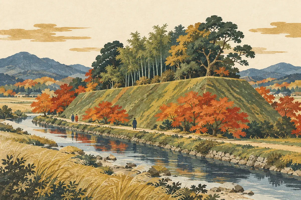
The Odoi was built along the Kamo River on the east, Takagamine on the north, the Kamiya River on the west, and around Kujō on the south. It consisted of a trapezoidal earthen rampart and a moat, and in places rivers, ponds, and marshes were used as part of the moat. It was one of the urban remodeling projects Toyotomi Hideyoshi carried out after a long period of war.
The rampart was 3 meters high and 9 meters wide at its base, and the moat was about 4 to 18 meters wide depending on the location. Bamboo was planted on top of the rampart to protect the mounded earth. In recent years, the name Odoi-bori ("Odoi moat") has also been proposed, treating the rampart and the moat dug at the same time as a single structure.
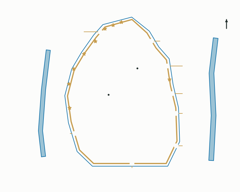
The extent of the Odoi, Rakuchū and Rakugai, and the main entrances
Three Roles
First, it was a defensive rampart against enemies; second, an embankment protecting the city from flooding of the Kamo River; and third, a boundary dividing the inside of the capital from the outside. The area inside the rampart was called Rakuchū and the area outside Rakugai, and the entrances set at key points were collectively called the Nanakuchi ("Seven Entrances").
There were about 10 entrances, including Kuramaguchi, Ōharaguchi, Kōjinguchi, Awataguchi, Fushimiguchi, Tōjiguchi, Tanbaguchi, and Nagasakaguchi, and from them highways led to all parts of the country. Note that despite the name Nanakuchi, there were not actually just seven entrances.
The Odoi as Part of Hideyoshi's Remodeling of Kyoto
The Odoi was not a stand-alone project. In the late 16th century, Hideyoshi carried out large-scale urban remodeling, including the construction of the Jurakudai palace, the Odoi, and Fushimi Castle. Grid-plan streets were revived in the city, land was divided into long, narrow lots, and the Teramachi temple district and the court nobles' quarter were created. This is said to have laid the foundation of early modern Kyoto.
After the Ōnin–Bunmei War, Kyoto had shrunk into two towns, Kamigyō and Shimogyō. Hideyoshi completed the Jurakudai in 1587 (Tenshō 15), and four years later he enclosed the entire city with the Odoi. Some see the construction of the Odoi-bori as the "finishing touch" to his plan to turn Kyoto into a castle town.
Why So Little Remains
In the Edo period, as a long peace continued and there was no longer any fear of enemies, the Odoi gradually became unnecessary. Parts were already torn down in the Keichō era (1596–1615), and the eastern side along Kawaramachi-dōri and Teramachi-dōri in particular turned into city streets early on. Demolition continued except for sections that served as embankments, and by the Meiji era most of it had disappeared.
Even so, during the Edo period the Kyoto magistrates worked to preserve the bamboo and trees on the rampart, and nearby farmers maintained it under the supervision of the Suminokura family. Today, most of the places that remain as historic sites are on the north side of the city, in Kita Ward and elsewhere.
Still Visible in the Landscape and in Place Names
In 1930 (Shōwa 5), eight of the surviving sections of the Odoi in the city were designated National Historic Sites as important remains for tracing the formation of Kyoto and the development of Japanese cities. One section in the grounds of Kitano Tenmangū was added in 1965 (Shōwa 40), and there are now nine designated sites. Apart from the designated sites, parts also survive inside Ōmiya Traffic Park in Kita Ward and on the grounds of Kitano Junior High School in Nakagyō Ward.
Place names such as Kuramaguchi and Tanbaguchi preserve the memory of the Odoi's entrances. The total length is given as about 22.5 kilometers in some sources and about 23 kilometers in others; this entry uses about 22.5 kilometers.
Designated sites of the National Historic Site "Odoi" (by ward)
- Kita Ward
- Kamigyō Ward
- Nakagyō Ward
If You Want to See It on Foot
The easiest place to get a sense of the Odoi is the historic site in Hirano Toriimae-chō, Kita Ward. It has been restored to show the Odoi's former appearance, though originally bamboo and trees are said to have grown thickly on top of the rampart. There is also a designated site in the grounds of Rozan-ji temple in Kamigyō Ward.
At Kitano Tenmangū, the area of the Odoi remaining on the west side of the shrine grounds has become the "Historic Site Odoi Momiji-en" (maple garden). The garden has about 350 maple trees, and you can enjoy both the view looking down from the top of the rampart and the view looking up from below. As of October 2026, the autumn opening of the maple garden runs from October 31 to December 6, and an admission fee is required. Dates change every year, so please check the latest official information.
Designated sites of the National Historic Site "Odoi"
| Name | Location |
|---|---|
| Shichiku | Shichiku Kaminagame-chō and Horikawa-chō, Kita Ward |
| Rozan-ji | Kitanobe-chō, Teramachi Hirokōji-agaru, Kamigyō Ward |
| Nishinokyō | Nishinokyō Hara-machi, Nakagyō Ward |
| Kitano | Bakuro-chō, Kamigyō Ward (grounds of Kitano Tenmangū) |
| Hirano | Hirano Toriimae-chō, Kita Ward |
| Murasakino | Murasakino Nishidoi-chō, Kita Ward |
| Takagamine | Kyūdoi-chō 3, Kita Ward |
| Takagamine | Kyūdoi-chō 2, Kita Ward |
| Ōmiya | Ōmiya Doi-chō, Kita Ward |
Mini quiz for this entry
Check what you've read with 3 multiple-choice questions.
Who ordered the construction of the Odoi earthworks around Kyoto?
In which ward are six of the nine Odoi sites designated as National Historic Sites?
Approximately how high was the Odoi earthwork?
Sources and verification
Content checked: October 11, 2026
Updated: October 11, 2026
References are in Japanese.