
A FIELD GUIDE TO DEEP KYOTO
Deep KyotoDictionary
Which way is “up” (agaru) and “down” (sagaru) in a Kyoto address? Why does 西院 have two readings? From place-name origins and tricky readings to streets, history and everyday life, this dictionary gently explains the small questions you meet in Kyoto, drawing on official sources and local background.
106 entries, each with sources and a checked date
106 entries
START WITH A QUESTION
Start walkingfrom the “why?”that caught your eye.
Kyoto addresses, hard-to-read place names, how neighborhoods work. Pick the path closest to what you want to know right now.
I want to read Kyoto addresses
Understand agaru, sagaru, higashi-iru and nishi-iru by turning them into compass directions.
How to read addressesPLACE NAMEI want to know how place names are read
A list of 50 hard-to-read Kyoto place names, such as Pontocho, Uzumasa and Tenshi-tsukinuke, with readings and origins.
See the 50 tricky place namesCOMMUNITYI want to know how Kyoto neighborhoods work
Explore local units such as motogakku (former school districts) and Jizo-bon that still shape daily life today.
Read about motogakkuOpen up Kyoto by theme
From addresses, place names and how neighborhoods work to festivals, food, history, temples, shrines and cultural properties. Start from whatever catches your interest and go deeper into Kyoto.
Addresses & Streets
Agaru and sagaru, street names and the shape of neighborhoods. Your starting point for decoding Kyoto addresses.
11 entriesRead the namesPlace Names & Readings
Pontocho, Akezu-dori, Uzumasa. Trace place names whose readings hide a piece of history.
47 entriesRead the townNeighborhoods & Daily Life
Motogakku, Jizo-bon and the Odoi. How the town's local systems connect to daily life today.
9 entriesRead the wordsKyoto Words
A closer look at how Kyoto dialect words are used, and the background that a dictionary meaning alone can't convey.
6 entriesRead the seasonsAnnual Events
Festivals and events rooted in the town's calendar, introduced along with the turning seasons.
9 entriesRead daily lifeFood & Kitchen Tools
Words used in Kyoto kitchens and the background of the city's food culture.
7 entriesRead the agesHistory & People
Heian-kyo, the Muromachi shogunate, Hideyoshi, the end of the Edo period. The eras and people who reshaped Kyoto.
9 entriesRead the beautyTemples, Shrines & Cultural Properties
Read the beauty and faith handed down in Kyoto through temple and shrine architecture, gardens, paintings and old documents.
8 entriesThree Kyoto words to know first
Let's begin with everyday Kyoto, the side that travel guides often miss.
Dictionary entries
Agaru, Sagaru, Higashi-iru, Nishi-iru
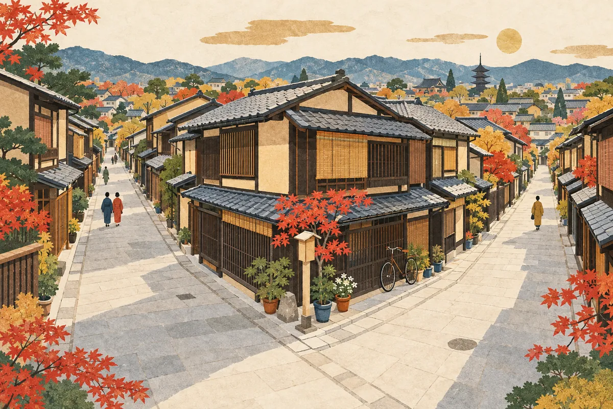
In addresses in central Kyoto, agaru (上る) means going north, sagaru (下る) going south, higashi-iru (東入る) going east, and nishi-iru (西入る) going west. They have nothing to do with going up or down a slope; they tell you which way to go from the intersection of two streets.
Read more
Why Kyoto Addresses Are So Long
Kyoto addresses look long because, in addition to the official town name and lot number, they sometimes include directions: "from the intersection of this street and that street, go this way." Behind this lie the history of towns forming along streets and the need to tell apart towns with the same name.
Read more
Motogakku
A motogakku (元学区, "former school district") is a unit of local community still used in Kyoto City for neighborhood activities, disaster preparedness, and more. It traces back to the areas of the bangumi elementary schools of 1869, and there are 222 of them in the city. They do not always match today's elementary-school attendance zones.
Read more
Jizo-bon
Jizō-bon is a neighborhood event that honors the local Jizō statue and prays for children's healthy growth and the safety of the neighborhood. In Kyoto it has been handed down as a summer event organized by each neighborhood, mainly on the weekend closest to August 24, the holy day (ennichi) of the bodhisattva Jizō.
Read more
Hard-to-Read Place Names in Kyoto
This is a list of 50 hard-to-read place names in Kyoto, with readings, grouped into central street names, central town names, Rakuhoku (north), Rakusai (west), Higashiyama and Yamashina, Fushimi, and other municipalities in Kyoto Prefecture. From classics such as 先斗町 (Pontochō), 太秦 (Uzumasa), and 一口 (Imoarai) to town names like 天使突抜 (Tenshi-tsukinuke) and station names, each entry briefly notes the location and any origin that could be confirmed.
Read more
Pontocho
先斗町 is read Pontochō (ぽんとちょう). It is the name of a narrow street and kagai (geisha district) running about 490 m between the Kamo River and Kiyamachi-dōri, from one block south of Sanjō-dōri to Shijō-dōri. Some theories link it to the Portuguese word ponto ("point"), but why it is read this way is said to be unknown.
Read more
Akezudōri
不明門通 (also written 不明門通り) is read Akezudōri. It is sometimes read Akezu-no-mon-dōri, and the name is said to come from the fact that the gate of Inaba Yakushi (Inabadō Byōdō-ji), at the north end of the street, was always kept closed.
Read more
Uzumasa
太秦 is read Uzumasa (うずまさ). The place name is linked to the Hata clan, an immigrant clan that made this area its base in ancient times, and it is explained through a legend in the Nihon Shoki (Chronicles of Japan): the clan's chief presented silk piled high (uzutakaku) to the court and was granted the title Uzumasa (禹豆麻佐).
Read more
Ryogawacho
A ryōgawachō (両側町, "two-sided town") is a Kyoto town form in which the houses facing each other across a single street make up one town. Its defining feature is that the community is bound together around the street, not around the inside of a block, and from the medieval period onward it became the basic unit of self-government in Kyoto's towns.
Read more
Bangumi Elementary Schools
The bangumi elementary schools were 64 schools opened in 1869 (Meiji 2), one for each bangumi—a reorganized unit of Kyoto's chōgumi (neighborhood federations). They opened three years before Japan's national school system, residents bore the costs through kamadokin and other contributions, and the schools became community hubs that also housed a town office, a police box, and a fire lookout tower.
Read more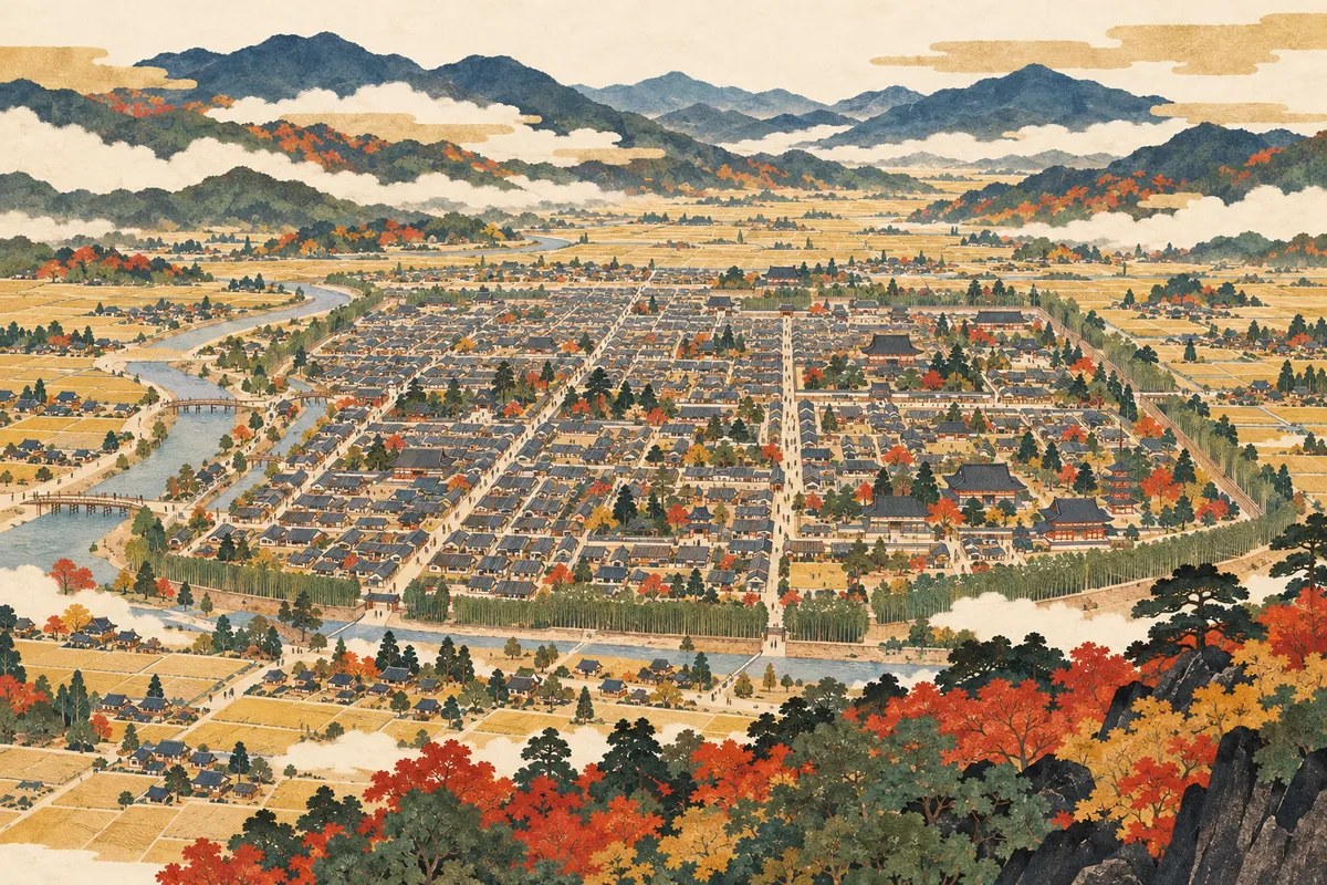
Rakuchu and Rakugai
Rakuchū (洛中) means the inside of the capital of Kyoto, and Rakugai (洛外) the outside. The extent changed over time, and after Toyotomi Hideyoshi built the Odoi earthwork in 1591, the distinction became clear: inside it was Rakuchū and outside it Rakugai. It does not match today's Kyoto City limits.
Read more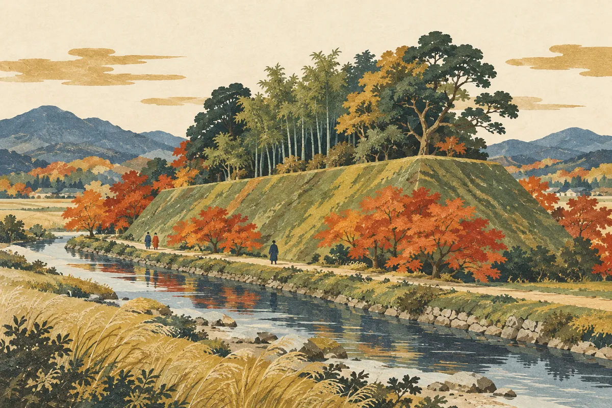
Odoi
The Odoi (御土居) was an earthen rampart and moat about 22.5 kilometers long that Toyotomi Hideyoshi built around Kyoto in 1591. It served for defense against enemies, as flood control against the Kamo River, and as the boundary between Rakuchū (inside the capital) and Rakugai (outside it). Nine sections survive today as National Historic Sites, in Kita Ward, Kamigyō Ward, and elsewhere.
Read more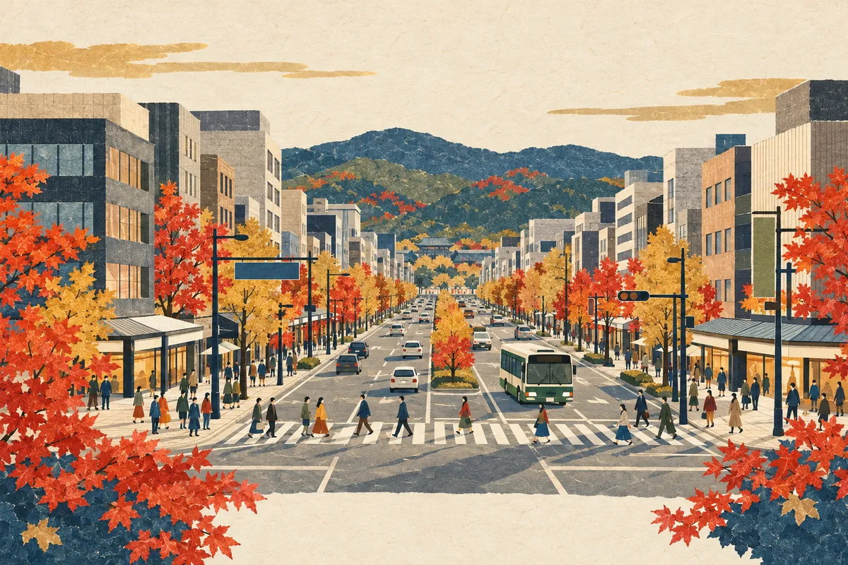
How to Read Karasuma-dori and Kawaramachi-dori
烏丸通 is read Karasuma-dōri and 河原町通 is read Kawaramachi-dōri. Both are major north–south streets in central Kyoto that often appear in subway and Hankyu station names, city bus stop names, and intersection names. Some town names, however, read the same characters as Karasumaru or Kawahara.
Read more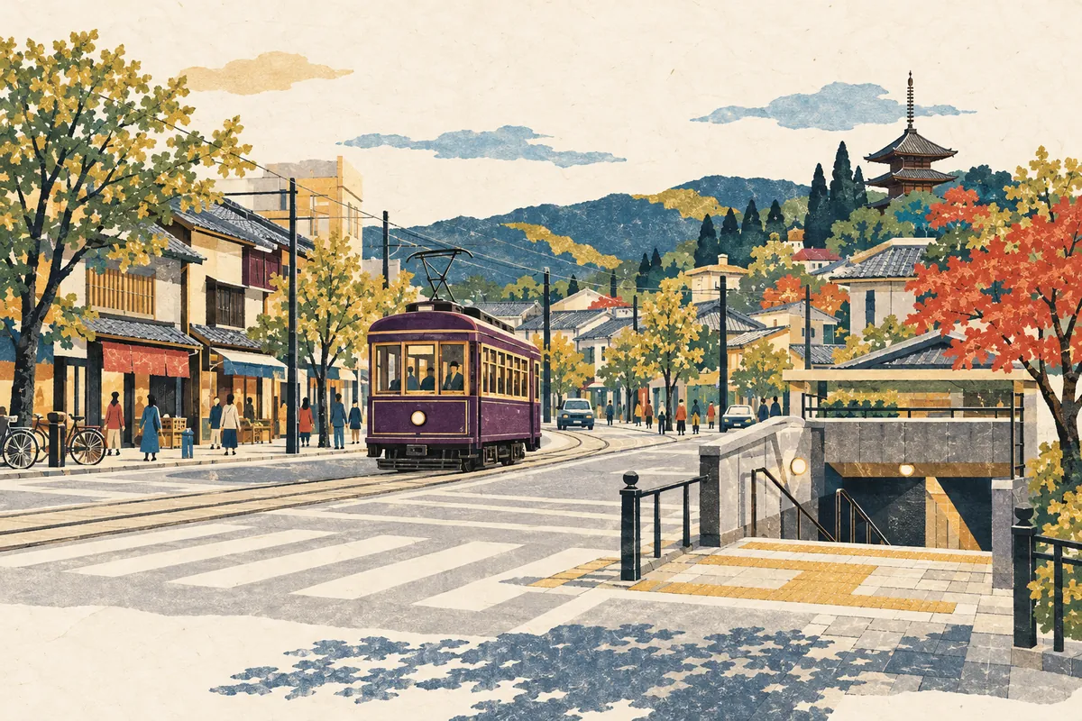
Is 西院 Read Sai or Saiin?
西院 is read Sai (さい) in the Randen station name and Saiin (さいいん) in the Hankyu station name. The town names in Ukyō Ward that begin with 西院 are all read Saiin, and as a place name Saiin is the usual reading. Only the Randen station keeps the reading Sai in its name.
Read more
Where the Name Demachiyanagi Comes From
Demachiyanagi is a station name that combines Demachi, on the west bank of the Kamo River, with Yanagi-no-tsuji, on the east bank. It was created in 1925 (Taishō 14), when the predecessor of the Eizan Electric Railway opened its line between Demachiyanagi and Yase, as a name joining the place names on the two banks.
Read more
Where the Name Oike-dori Comes From
Oike-dōri (御池通) is said to have gotten its name in the mid-Edo period because it was the road leading to the pond (ike) in Shinsen-en. It was originally a narrow lane of Heian-kyō called Sanjō-bōmon Kōji, and after wartime clearances it became an avenue 50 meters wide.
Read more
Teramachi-dori and Shinkyogoku-dori
Teramachi-dōri corresponds to Higashi-Kyōgoku Ōji, the avenue at the eastern edge of Heian-kyō, and many temples were gathered along it in Toyotomi Hideyoshi's remodeling of the city. In 1872, Shinkyōgoku-dōri was created to its east by reorganizing the temple grounds, becoming a busy shopping and entertainment street running about 500 meters from Sanjō-dōri to Shijō-dōri.
Read more
Kyoto's Street-Name Songs
The street-name song Marutake Ebisu (丸竹夷), which begins "maru-take-ebisu-ni-oshi-oike," is a song for memorizing the east–west streets of central Kyoto in order from north to south. There is also Teragoko (寺御幸), which sings the north–south streets from east to west.
Read more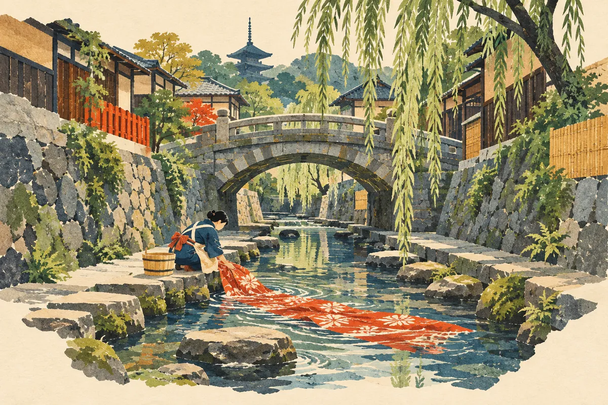
The History of Higashioji-dori and Horikawa-dori
Higashiōji-dōri used to be called Higashiyama-dōri, and that name survives in intersection names such as Higashiyama Sanjō. The Horikawa is said to have been laid out as a canal when Heian-kyō was built, and it was used to transport timber and to rinse Yūzen-dyed fabric. Its water source was cut off in the late 1950s and early 1960s, but a restoration project in the Heisei era brought back a gentle stream.
Read more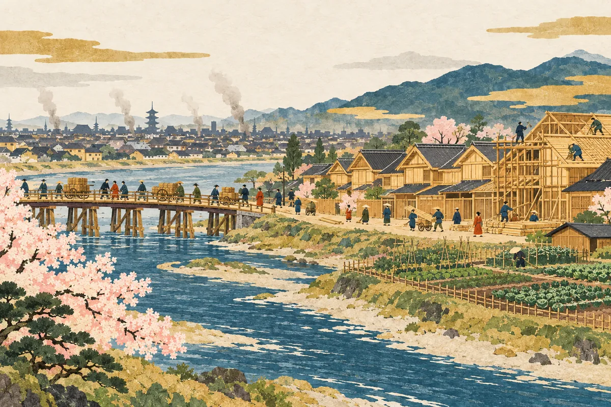
The Great Hoei Fire and Kyoto's "Shin" Streets
The Great Hōei Fire of 1708 spread from near Aburanokōji-dōri south of Aneyakōji. After the fire, to enlarge the court-noble district (kuge-machi) around the Imperial Palace, townhouses were moved to places such as Nijō-kawahigashi east of the Kamo River, and the streets there kept their original names with Shin (新, "new") added in front, as in Shin-Higashinotōin-dōri.
Read more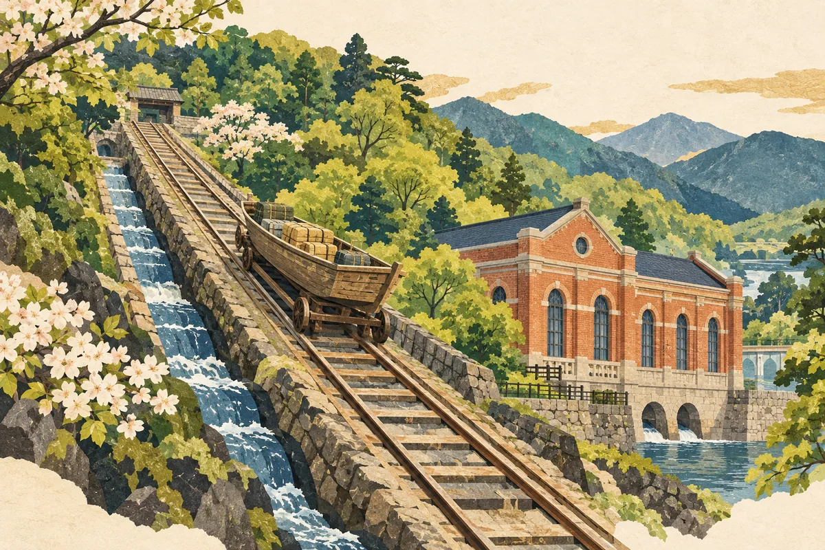
The Lake Biwa Canal and Keage Power Station
Construction of the First Lake Biwa Canal began in 1885, and it was completed in 1890 by Tanabe Sakurō and his team. Keage Power Station, which uses the canal's water power, was completed in 1891 as Japan's first commercial hydroelectric power station; it powered factories and streetcars and supported Kyoto's modernization. The canal is still a source of Kyoto's tap water today.
Read more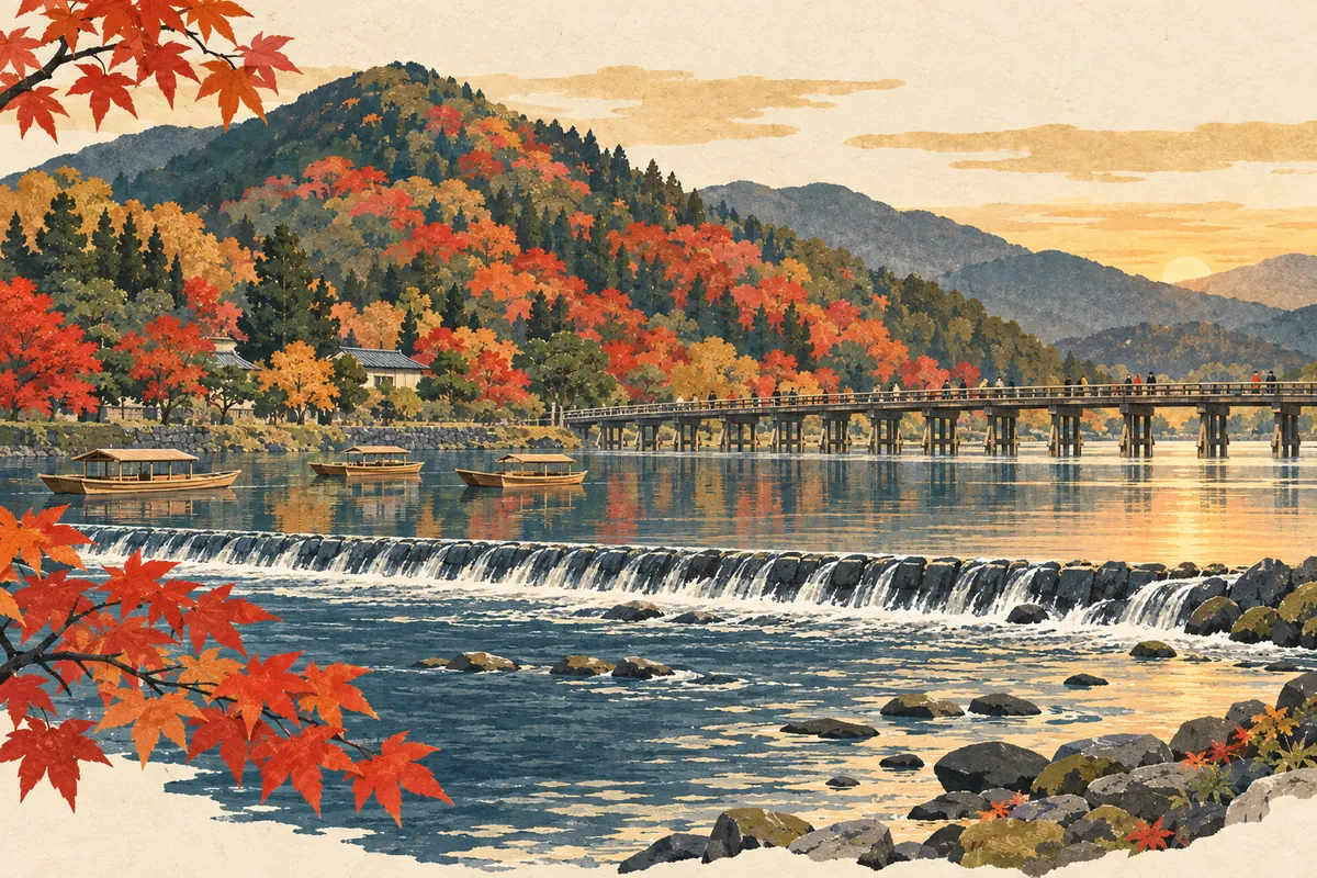
Where the Name Oi River Comes From
The Katsura River, which flows past Togetsukyō Bridge in Arashiyama, is also called the Ōi River (大堰川, Ōigawa). The name is said to come from the Kadono Ōi (葛野大堰), an irrigation weir said to have been built in ancient times by the Hata clan along this stretch of the river.
Read more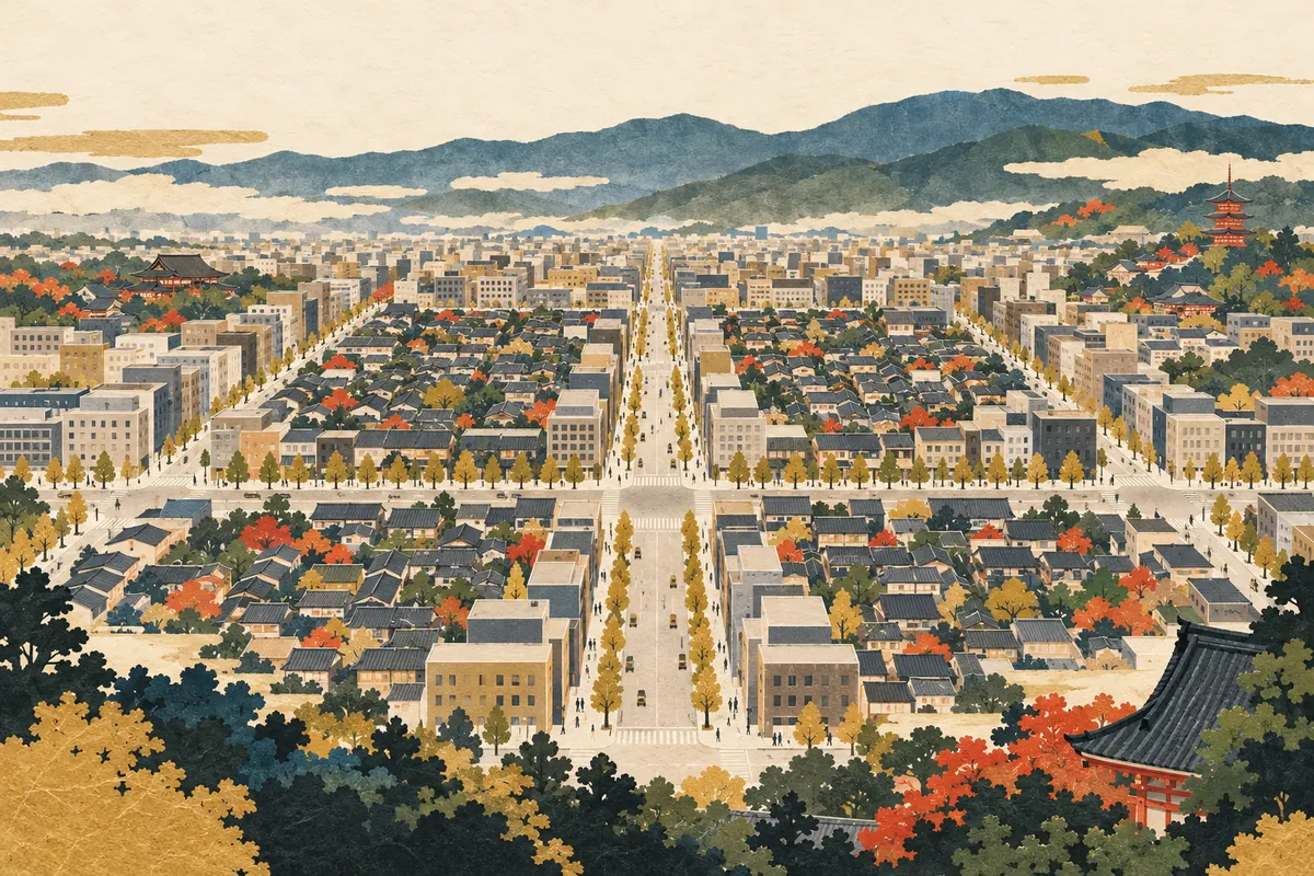
Kyoto's Ta-no-ji Area
The Ta-no-ji area of central Kyoto is a name for the district bounded by Oike-dōri to the north, Gojō-dōri to the south, Kawaramachi-dōri to the east, and Horikawa-dōri to the west. Add Karasuma-dōri and Shijō-dōri, which run through the middle, and the streets form the shape of the kanji 田 (ta, "rice field"), a square divided into four, on the map.
Read more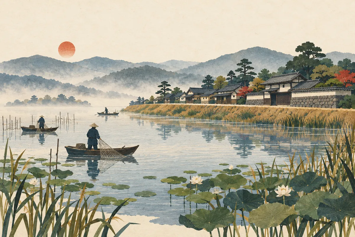
Imoarai
一口 is read Imoarai and survives as a place name in Higashi-imoarai and Nishi-imoarai in Kumiyama Town. Higashi-imoarai was a fishing settlement built on an embankment at the southwest of Ogura Pond (Oguraike), and the name is said to come from the pond's outlet to the Yodo River. However, there are several theories about why it is read Imoarai, and none is considered conclusive.
Read more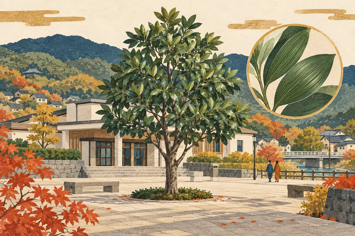
Nagitsuji
椥辻 is a place name in Yamashina Ward read Nagitsuji (なぎつじ). The name is said to come from a large nagi tree that once stood here. It is used for a station on the subway Tōzai Line and for 11 town names beginning with 椥辻, and a nagi tree also stands at the Yamashina Government Building, home to the ward office.
Read more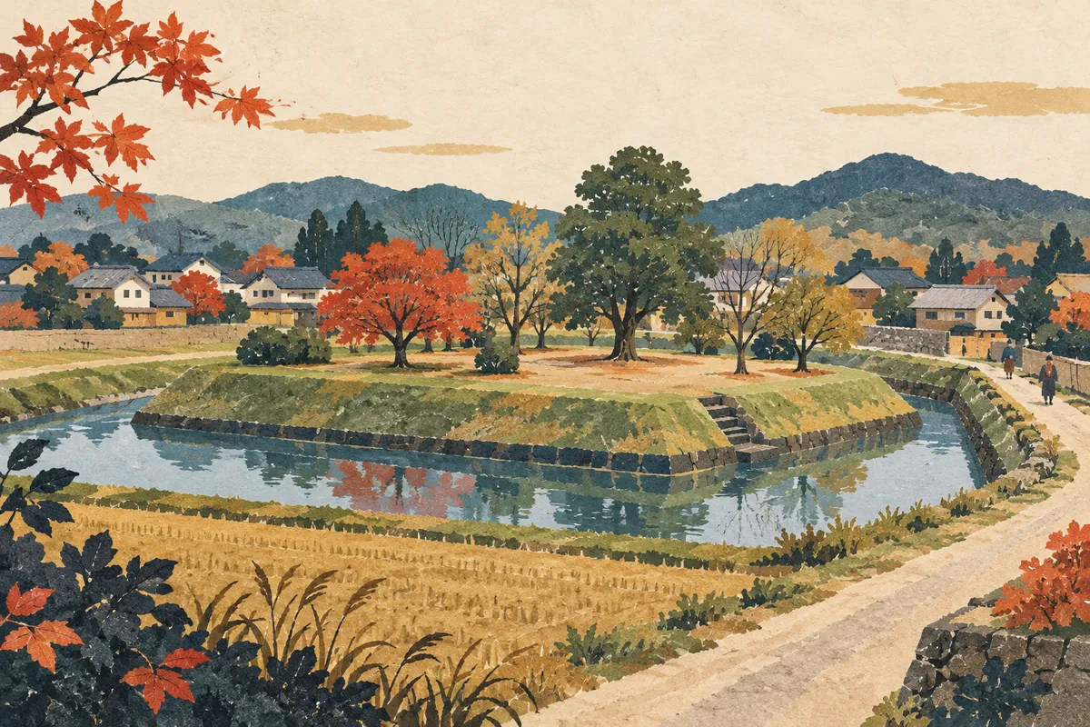
Mozume
物集女 is read Mozume (もずめ), a place name that survives in Mozume-chō in northern Mukō City. In medieval times the Mozume estate (Mozume-no-shō) was located here, and in the Muromachi and Sengoku periods the Mozume clan, based in this area, built a fortified residence. The Mozume Castle site was designated a National Historic Site in 2024, and the town also has the Mozume Kurumazuka Tumulus, whose stone burial chamber is open to the public.
Read more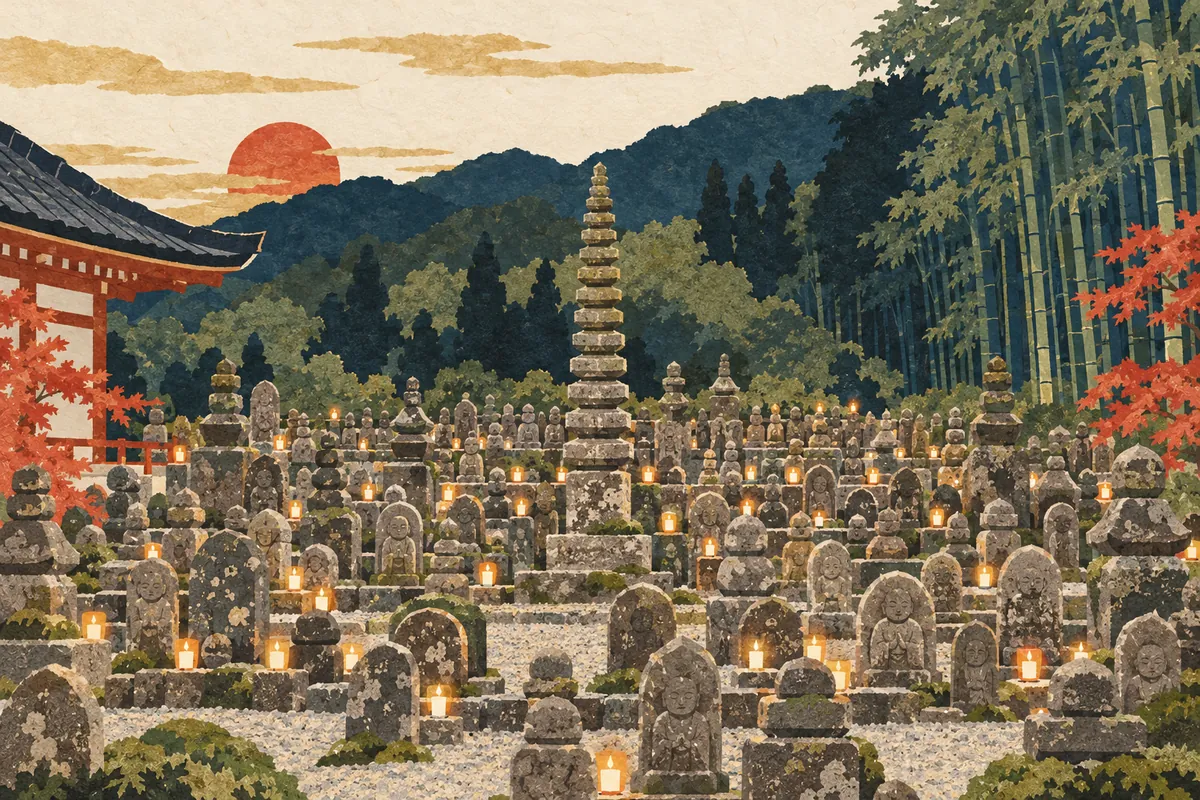
Adashino
化野 is read Adashino and is a place name in Saga-Toriimoto, Ukyō Ward. Since ancient times it has been known, along with Toribeno and Rendaino, as a burial ground, and in waka poetry the phrase "the dew of Adashino" has been used to express the impermanence of life. At Adashino Nenbutsu-ji Temple there is the "Sai no Kawara," where stone Buddhas and stone pagodas once buried in the surrounding hills and fields have been gathered.
Read more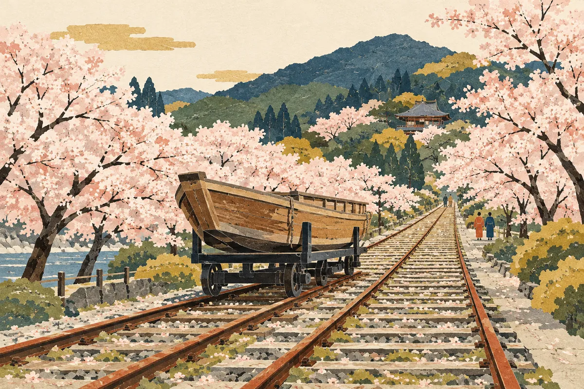
Keage
蹴上 is read Keage. It is an area name for the surrounding district that does not appear in any official address. It is said to come from Minamoto no Yoshitsune, on his way to Ōshū, cutting down a warrior who kicked up (keage) muddy water. Located on the old Tōkaidō road, it was the eastern gateway to the capital, and today the name lives on in a subway station, the incline, a power station, and a water treatment plant.
Read more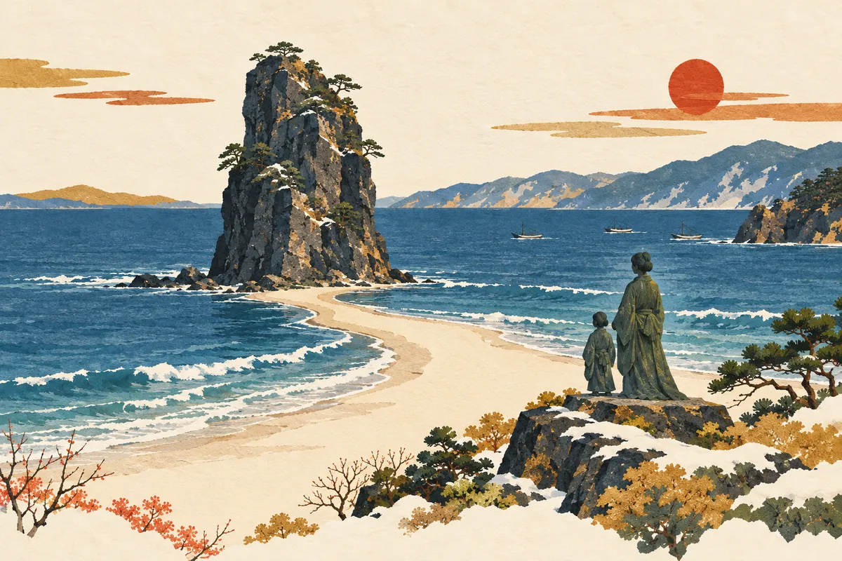
Taiza
間人, read Taiza (たいざ), is a place name in Tango-chō, Kyōtango City, facing the Sea of Japan. According to tradition, Empress Anahobe no Hashihito, mother of Prince Shōtoku, took refuge here to escape the conflict between the Soga and Mononobe clans, and the name came to be read taiza after her go-taiza (御退座, departure) when she left. A statue of the empress and the prince as mother and child still stands by the sea, and Taiza is a fishing town known for Taiza crab and its kenka yatai ("fighting floats").
Read more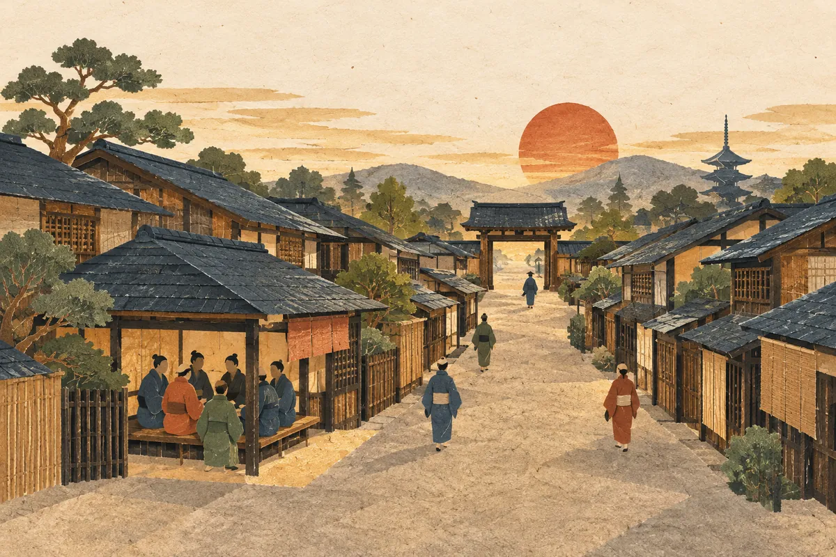
Chōgumi
A chōgumi (町組) was a self-governing organization in which several of Kyoto's chō—neighborhoods formed on both sides of a street—joined together as a regional federation. Chōgumi took shape around the 16th century and were reorganized into 65 groups in two chōgumi reforms in the early Meiji period. These groups became the units for the bangumi elementary schools and carry on in today's motogakku (former school districts).
Read more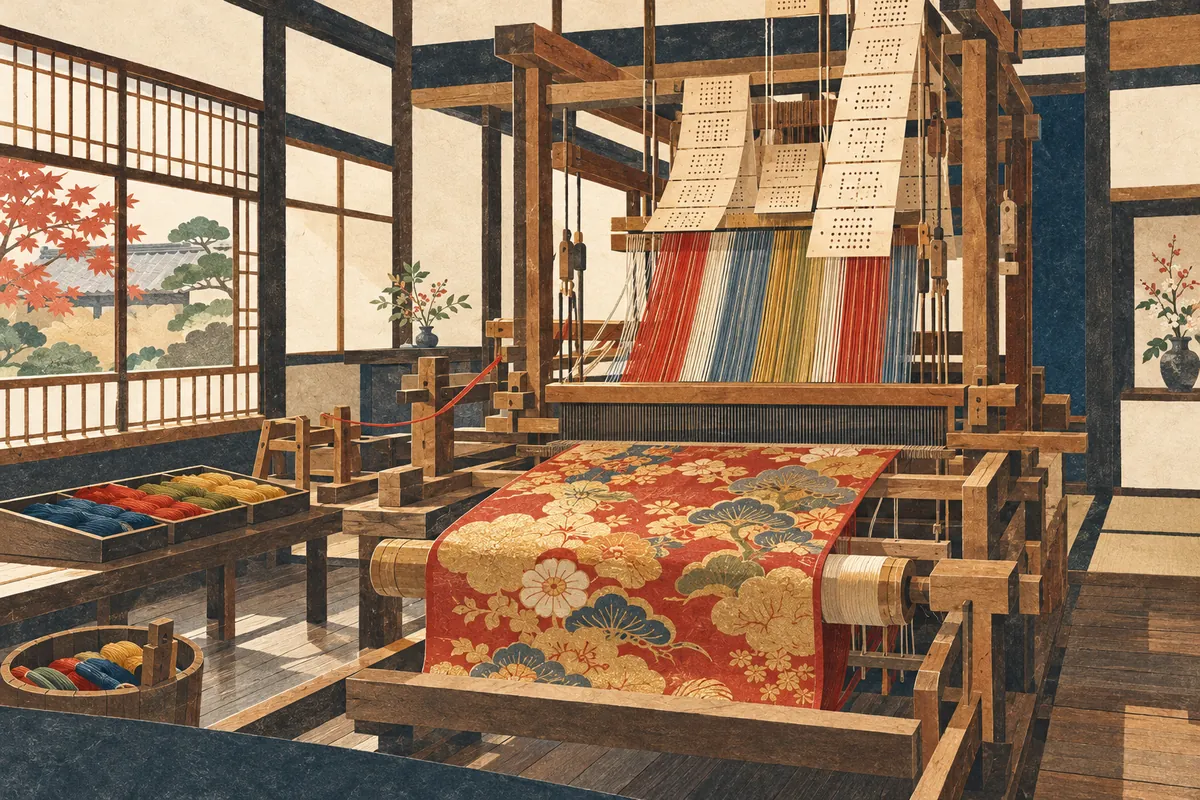
Nishijin
Nishijin (西陣) is the name of an area spanning Kamigyō and Kita wards in Kyoto City and the birthplace of Nishijin-ori textiles. It came to be called Nishijin ("Western Camp") because Yamana Sōzen's Western Army set up camp here during the Ōnin War. There is no administrative district called Nishijin, and the area it refers to differs by context: historic Nishijin, the Nishijin gakku (a former school district), and the Nishijin district as the production area of Nishijin-ori.
Read more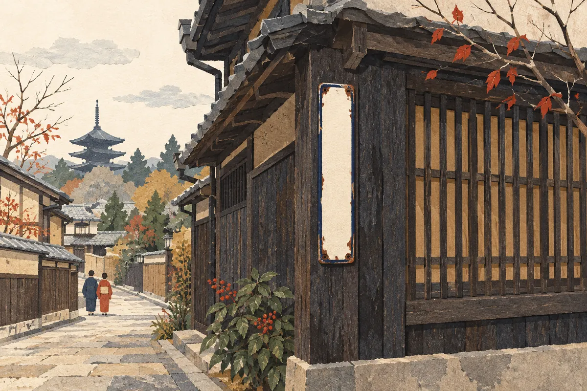
Jintan Town-Name Signs
Jintan town-name signs are street signs showing town names along with the mark of Jintan, a breath-freshening pill brand. The maker, Morishita Jintan, says it began putting up town-name signs around 1910 (Meiji 43), but there are also theories that they were installed in Kyoto in 1915 (Taishō 4) or 1928 (Shōwa 3), and no single date has been settled. Signs that show addresses by combining street names still remain on Kyoto street corners.
Read more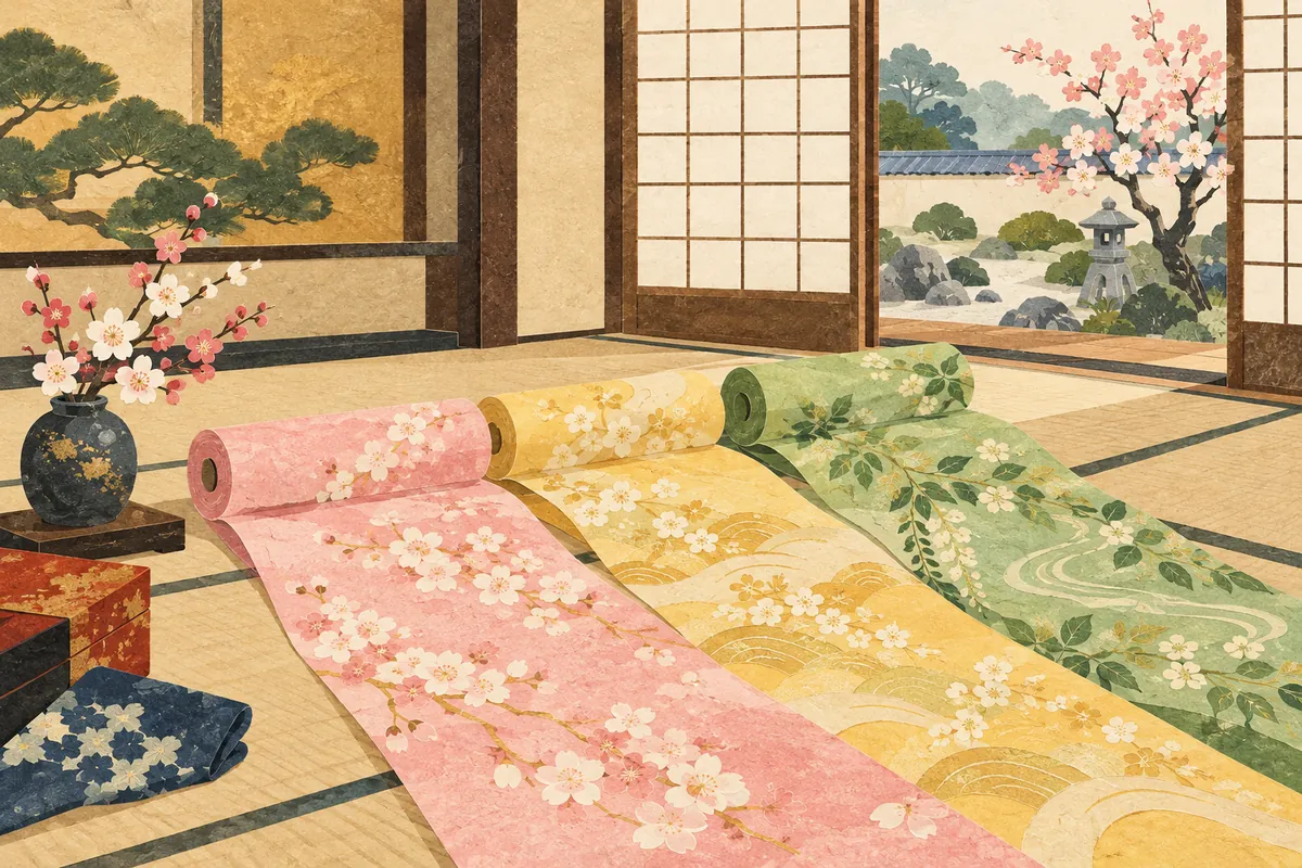
Hannari
Hannari (はんなり) is a Kyō-kotoba (Kyoto dialect) word describing something elegant, bright, and cheerful. It is said to be used most often of colors and hues. Examples appear in documents from the Muromachi period, and it is still used today, mainly in the Kyoto–Osaka region.
Read more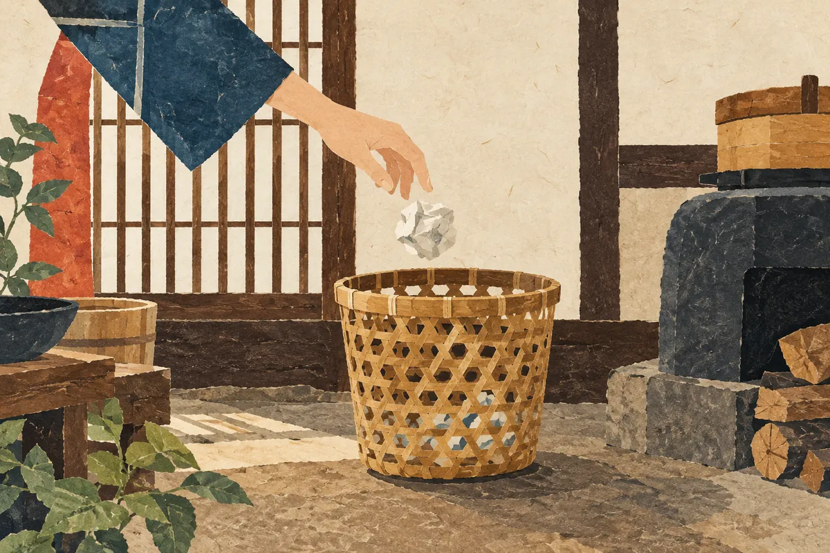
Hokasu
Hokasu (ほかす) is a Kyō-kotoba (Kyoto dialect) word meaning "to throw away." It is used as in "Sore wa hokashitara akan" (それはホカシたらあかん, "Don't throw that away"). Japanese dictionaries suggest it may have changed from hōka-su (放下す), and in an old nationwide survey it was a common expression in the central Kinki region.
Read more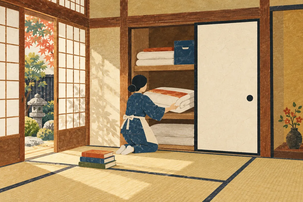
Naosu
In Kyō-kotoba (Kyoto dialect), naosu (なおす) means "to tidy up" or "to put away." It is used like this: "Sono hon, naoshi toite" (その本、ナオシといて。, "Put that book away"). Japanese dictionaries describe this as a usage of the Kinki region, Kyushu, and other areas, and an old nationwide survey also found many "I use it" answers in Kinki and Kyushu.
Read more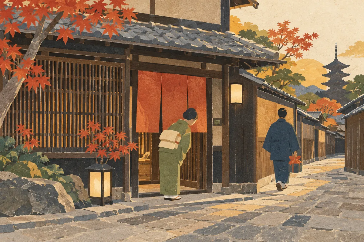
Ookini
Ōkini (おおきに) is a Kyō-kotoba (Kyoto dialect) word meaning "thank you." It is used like this: "Tōi tokoro o wazawaza ōkini" ("Thank you for coming all this way"). It was originally an adverb meaning "greatly, very much," and one theory says it became a word of thanks by shortening phrases such as ōkini arigatō ("thank you very much").
Read more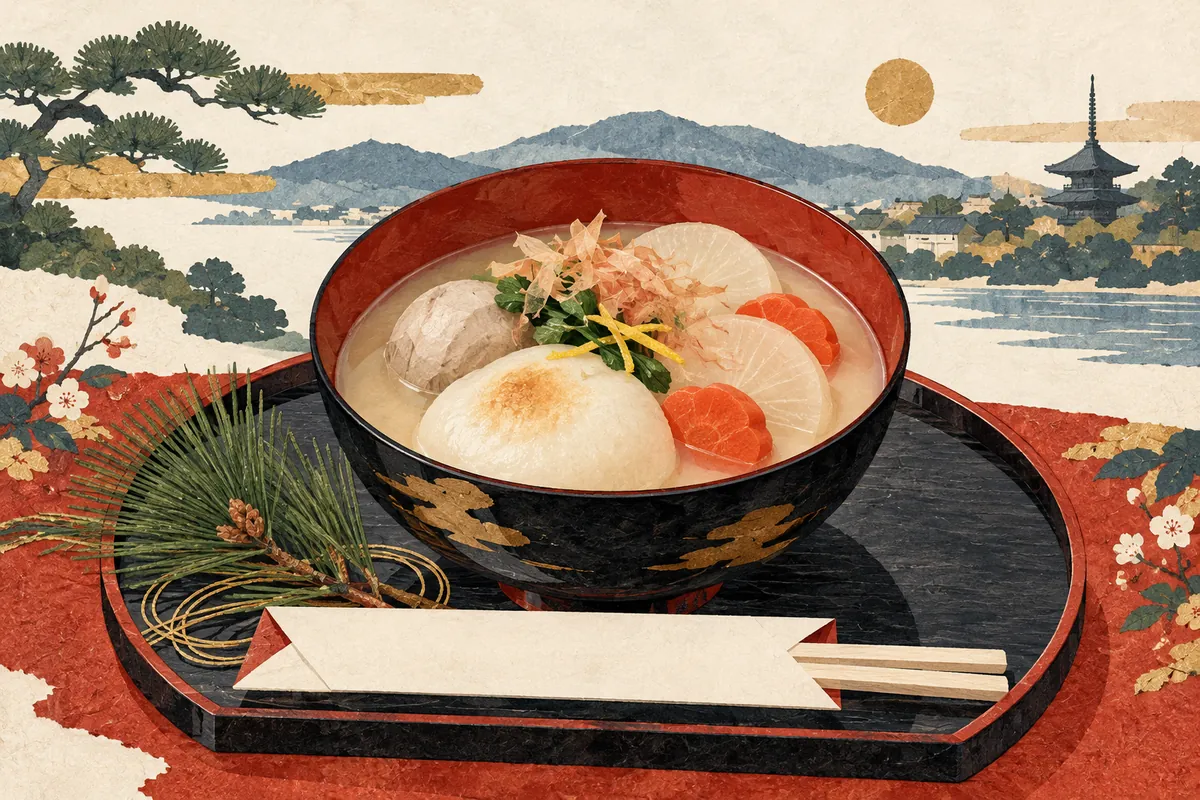
White-Miso Zoni
White-miso zōni is Kyoto's New Year soup: white miso dissolved in kombu stock with round mochi, kashiraimo (the mother corm of the taro), daikon, and other ingredients. Each household eats it during the first three days of the New Year, and recipes are said to be passed down from generation to generation. Each ingredient and the way it is cut carries wishes such as harmony and long life.
Read more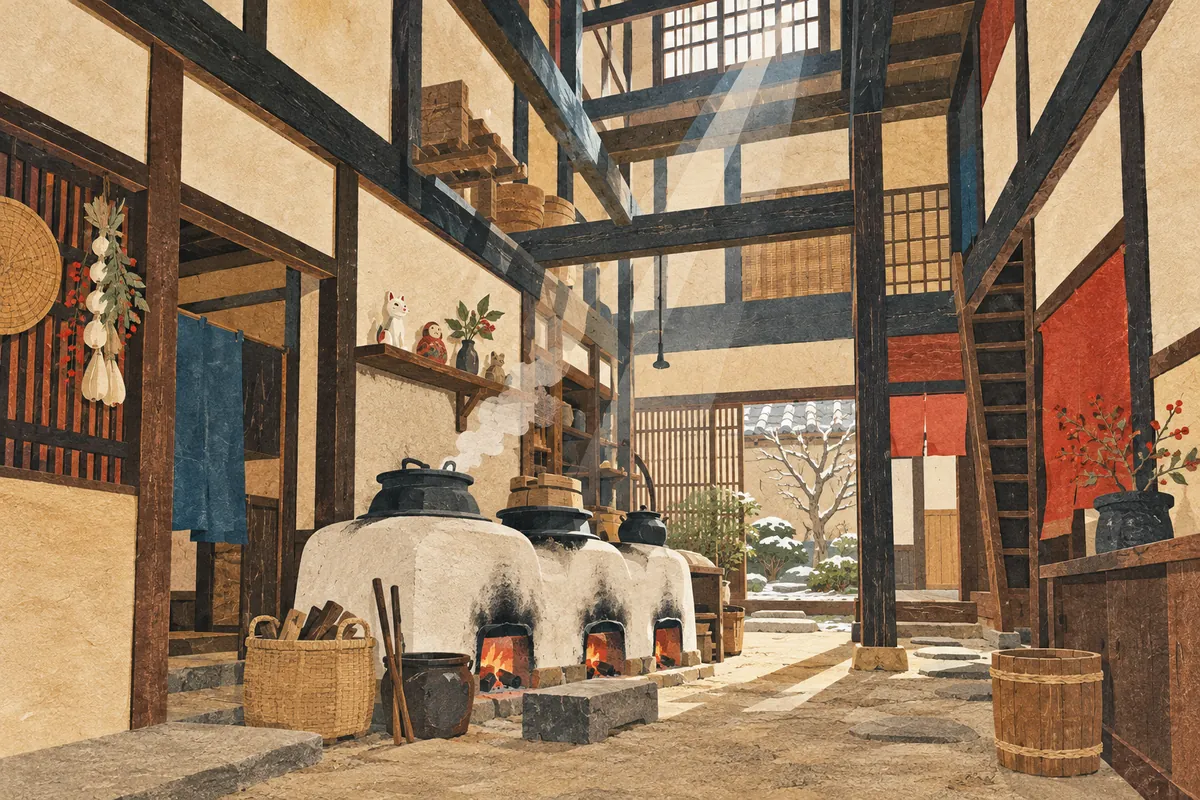
Okudosan
Okudosan (おくどさん) is the Kyō-kotoba (Kyoto dialect) word for a kamado, the stove used to cook rice and other dishes. In a Kyoto machiya townhouse, it stands on the earthen floor midway along or toward the back of the tōri-niwa passage, and above it is an open void called the hibukuro, for fire prevention and smoke ventilation. It has been closely tied to household customs, such as the Hotei figures on the kōjin-dana shelf above it and the kagami-mochi offered at New Year.
Read more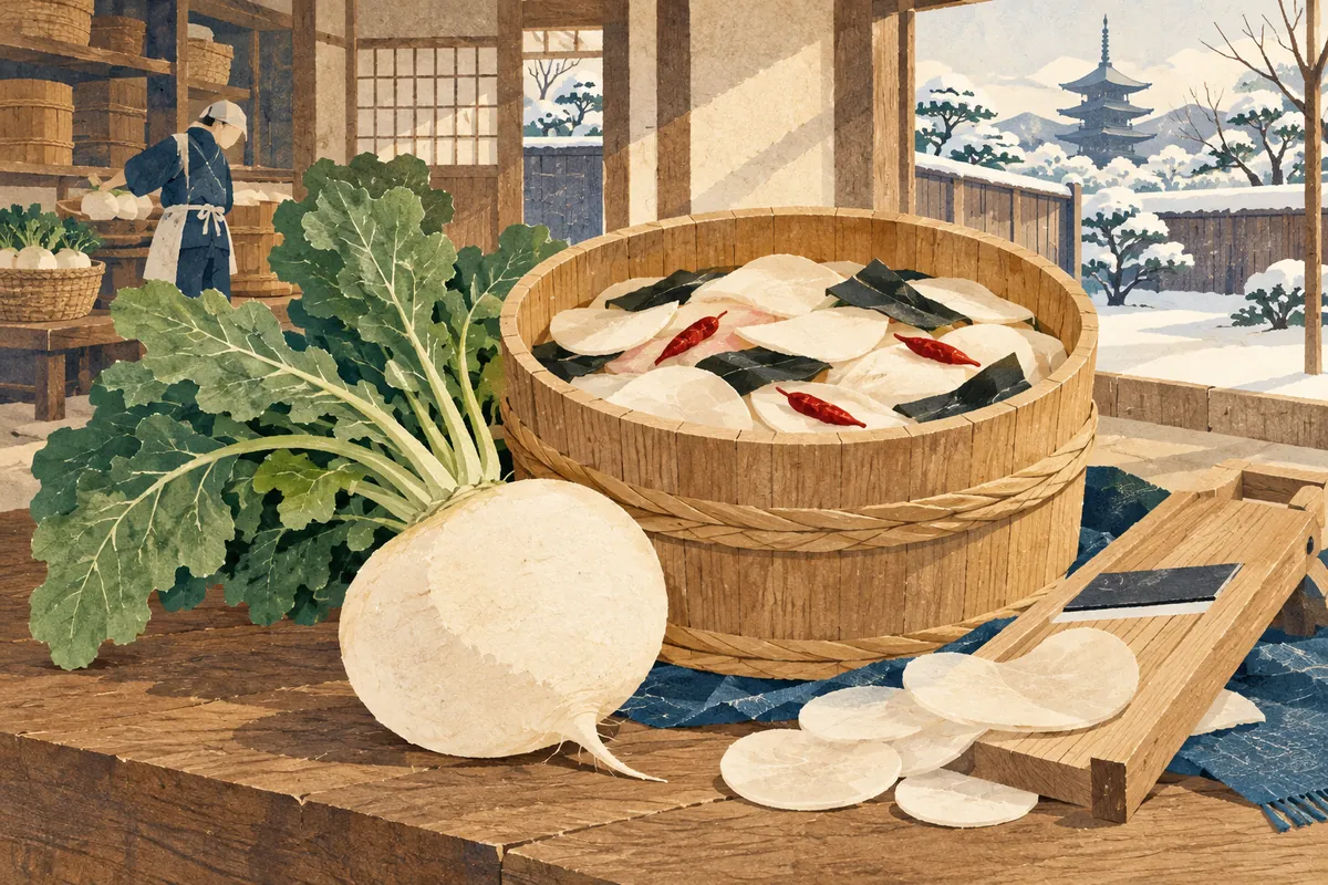
Senmaizuke
Senmaizuke (千枚漬) is a Kyoto pickle made by shaving Shōgoin turnip into thin slices and pickling them with kombu, vinegar, and other ingredients. It is counted among Kyoto's three great pickles, together with sugukizuke and shibazuke. It is not meant for long-term storage and is delicately pickled without lactic acid fermentation. It is made from around November, when Shōgoin turnips start to be shipped, and is loved as a taste of Kyoto's winter.
Read more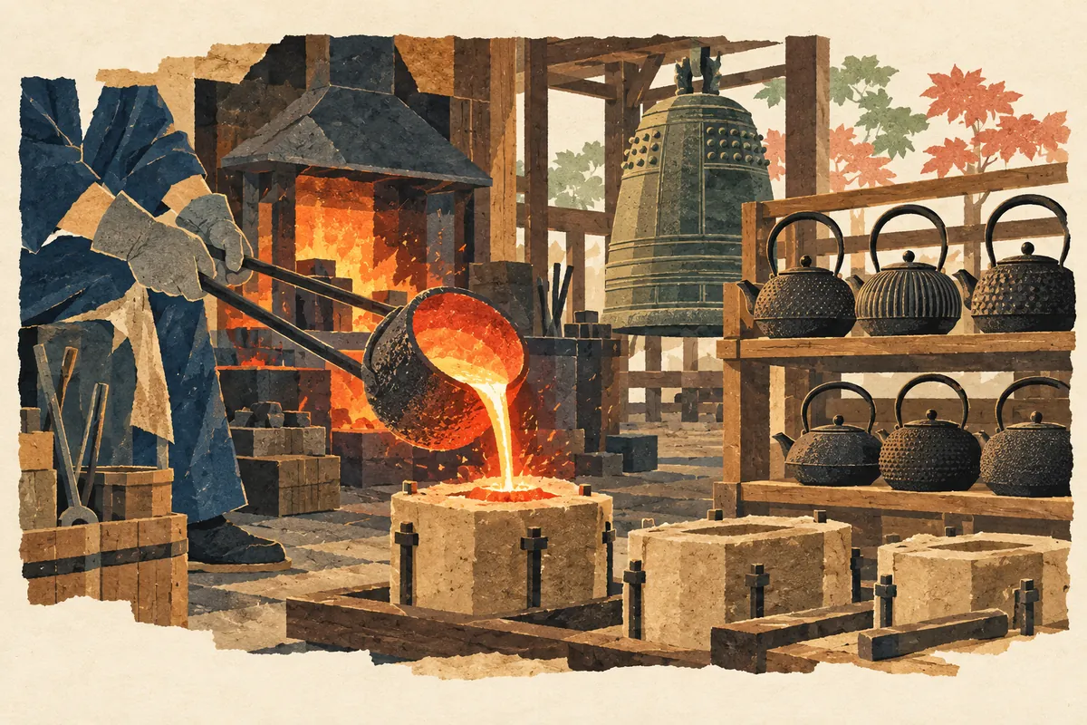
Kamanza-dori
釜座通, read Kamanza-dōri, is a north–south street in central Kyoto. Its name is said to come from the Sanjō Kamanza, a guild that cast temple bells and tea kettles. It runs between Nishinotōin-dōri and Shinmachi-dōri and is considered one of the streets opened through the middle of the city blocks in Toyotomi Hideyoshi's rebuilding of the city.
Read more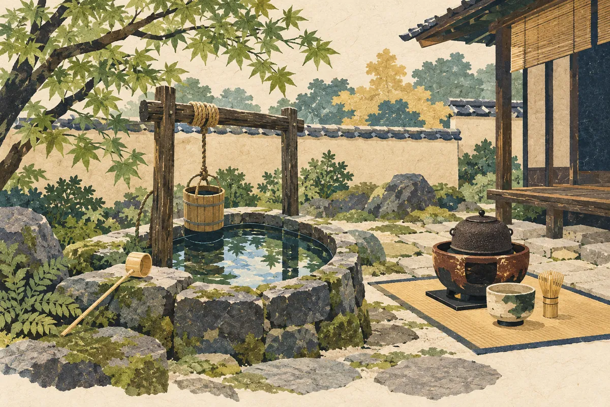
Samegai-dori
醒ケ井通, read Samegai-dōri (さめがいどおり), is a north–south street in Shimogyō Ward that runs just east of Horikawa-dōri. Its name is said to come from the Samegai (佐女牛井), a well known for having the finest water in the land. The well disappeared when Horikawa-dōri was widened, but a stone monument marking the site and the town name Samegai-chō (佐女牛井町) remain.
Read more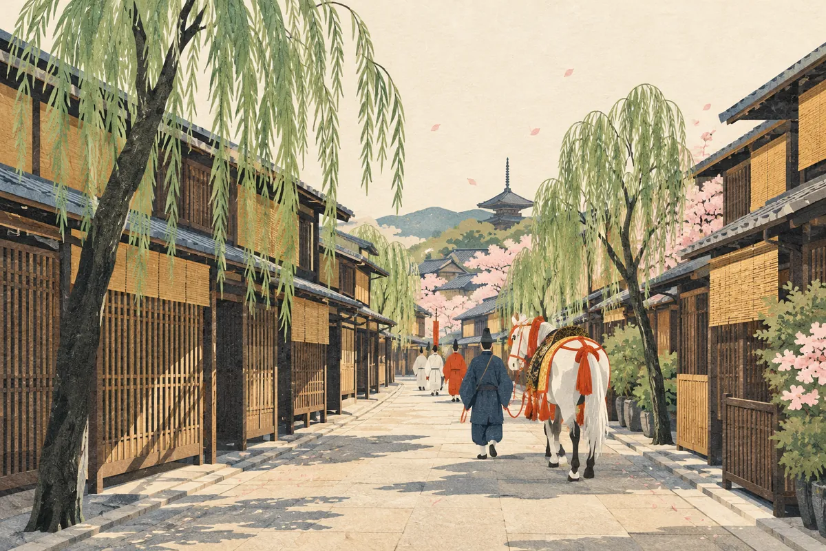
Yanaginobamba-dori
柳馬場通, read Yanaginobamba-dōri (やなぎのばんばどおり), is a north–south street in central Kyoto that runs between Tominokōji-dōri and Sakaimachi-dōri. There are two theories about its name: that it comes from Nijō Yanagimachi, a pleasure quarter lined with willows (yanagi), or that willows were planted for a horse parade at the Hōkoku Festival. Nijō Yanagimachi is regarded as the beginning of the later Shimabara pleasure quarter.
Read more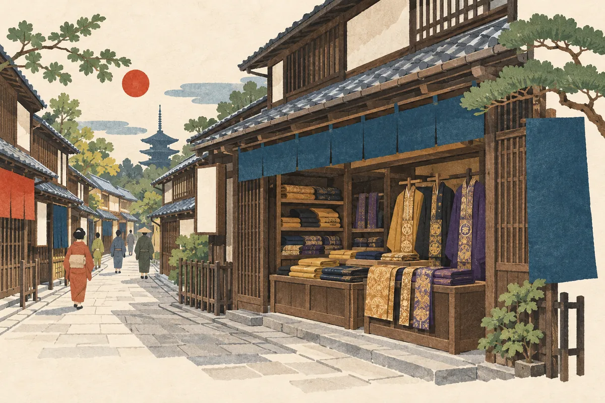
Koromo-no-tana-dōri
衣棚通 is a north–south street in central Kyoto, read Koromo-no-tana-dōri or Koromotana-dōri. The name is said to come from the many shops in the area that sold monks' robes and similar garments from shelves (tana). It is said to be one of the streets opened during Toyotomi Hideyoshi's reshaping of the city, and it runs between Shinmachi-dōri and Muromachi-dōri.
Read more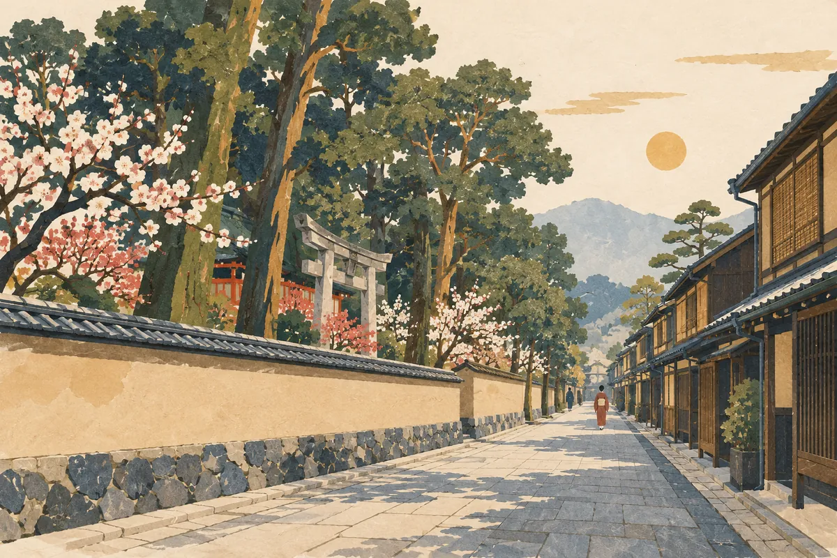
Onmae-dori
御前通 is a north–south street read Onmae-dōri (おんまえどおり), running about 7.2 km from Kitaōji-dōri in the north to beyond Kujō-dōri in the south. Its name is said to come from passing in front of (to the east of) Kitano Tenmangū. In Heian-kyō it corresponded to Nishi-Ōmiya Ōji, the avenue marking the western edge of the Greater Imperial Palace, and the "御前" that appears in the street-name song is a different road, Honganji's Onmae-dōri.
Read more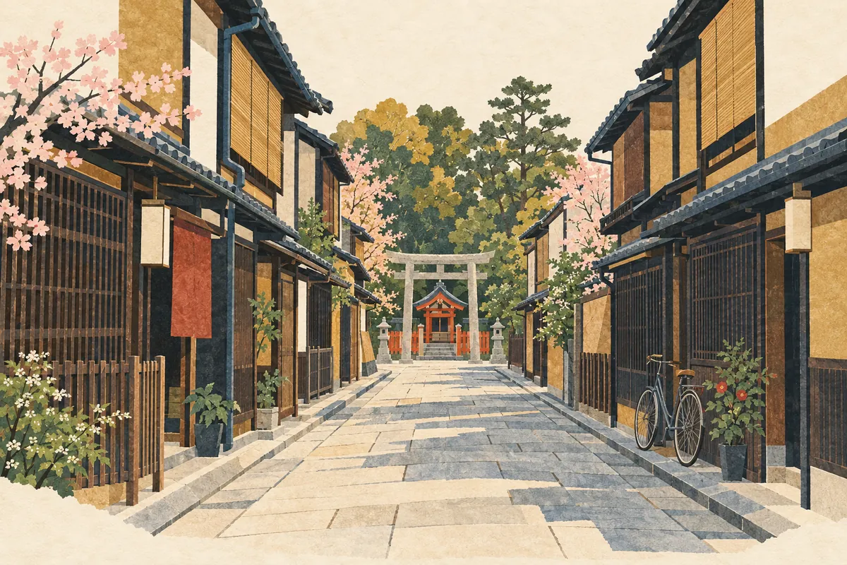
Tenshitsukinuke
天使突抜, read Tenshitsukinuke (てんしつきぬけ), is a town name in Shimogyō Ward, with 1-chōme to 4-chōme on both sides of Higashinakasuji-dōri. "Tenshi" refers to Gojō Tenjin Shrine, known as Tenshi no Miya, and the name is said to come from a north–south road that was driven straight through (tsukinuke) the shrine grounds during Toyotomi Hideyoshi's remodeling of Kyoto around 1590 (Tenshō 18).
Read more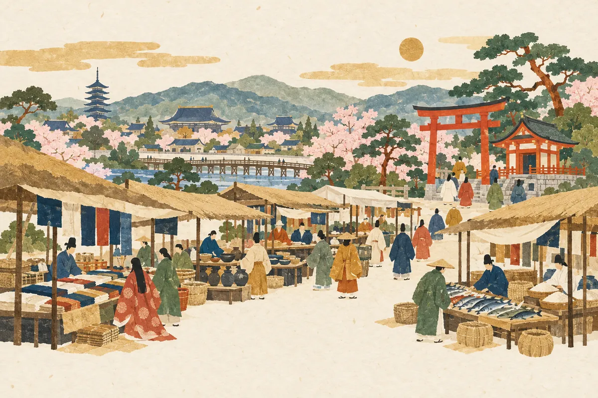
Toichi-cho
都市町, read Toichi-chō (といちちょう), is a town name in Shimogyō Ward, southwest of Gojō Ōhashi Bridge. The name is said to come from the otabisho (resting place for the deity during festivals) of Ichihime Shrine, the guardian deity of the Eastern and Western Markets opened the year after the capital moved to Heian-kyō. Both its reading and its meaning differ from the ordinary word 都市, read toshi.
Read more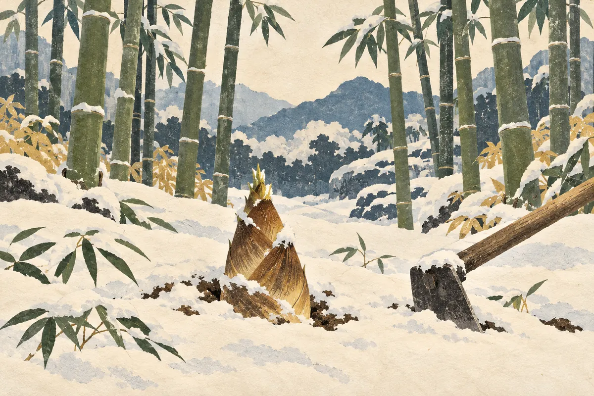
Takanna-cho
笋町, read Takanna-chō (たかんなちょう), is a town name in Nakagyō Ward. Takanna (笋) is an old word for bamboo shoot, and this town north of Shijō-Karasuma is the one that puts out the Mōsō-yama float in the Gion Festival. Mōsō-yama depicts the tale of Mōsō (Meng Zong), who dug up a bamboo shoot in the snow for his sick mother.
Read more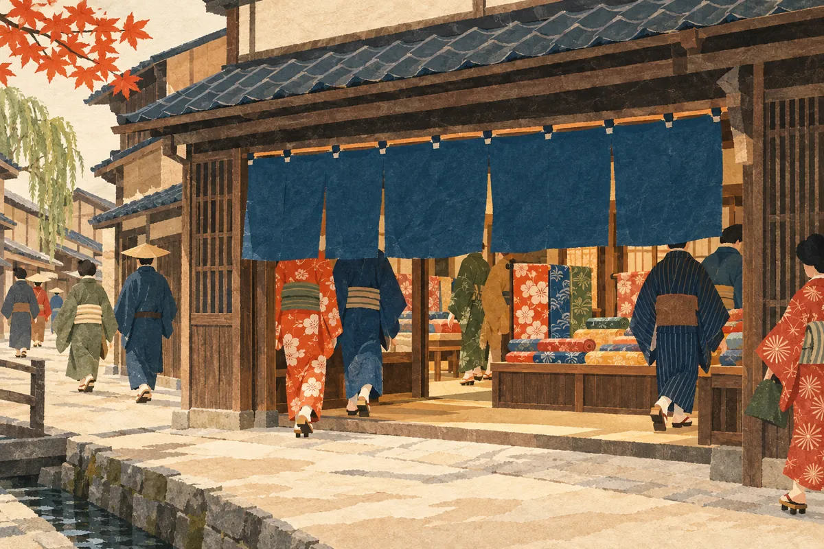
Mukadeya-cho
百足屋町 is a town name in Nakagyō Ward read Mukadeya-chō (むかでやちょう). It is said to come from Mukadeya, a wealthy merchant house that took its name from the centipede (mukade), whose many legs were likened to many customers—a lucky sign. Nakagyō Ward has two towns called Mukadeya-chō: one at Ebisugawa-dōri and Sakaimachi, and one at Shinmachi-dōri Takoyakushi-sagaru.
Read more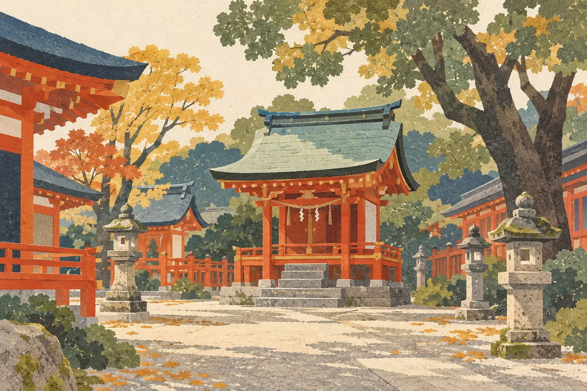
Akuōji-chō
Akuōji-chō is a town name in Shimogyō Ward, read あくおおじちょう (Akuōji-chō) as a town name. Akuōji means "powerful," and the name is said to come from the Akuōji Shrine, which enshrined the fierce spirit (aramitama) of Susanoo-no-Mikoto. The shrine moved from southeast of Shijō-Karasuma to north of Gojō-Karasuma, and it now stands in the grounds of Yasaka Shrine.
Read more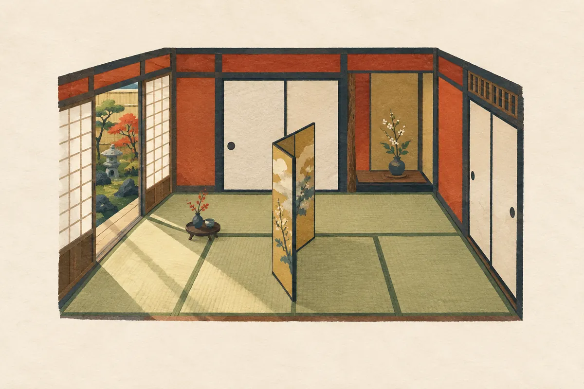
Nijohanjiki-cho
二帖半敷町 is a town name in Shimogyō Ward, south of Shijō-Karasuma, read Nijōhanjiki-chō (にじょうはんじきちょう); it is also the address of Shijō Station on the subway. There are two theories about its origin: that a head priest divided Gojō-ji temple in half between two disciples, or that two brothers split a five-mat house. Both agree on one point: "five, split in half, makes two and a half mats."
Read more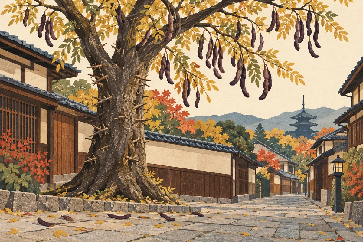
Saikachi-cho
皂莢町, read Saikachi-chō (さいかちちょう), is a town in Kamigyō Ward. The name is said to come from a large saikachi tree that once stood there. The saikachi (Japanese honey locust) is a tree of the pea family with a thorny trunk and long, twisted pods, which were used for washing clothes. It has become rare in Kyoto Prefecture and is listed by the prefecture as near threatened.
Read more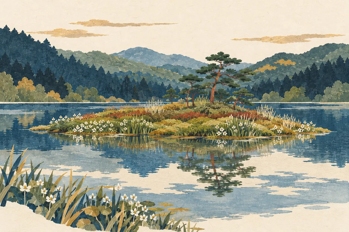
Midorogaike
深泥池 is a pond in Kamigamo, Kita Ward, read both Midorogaike (みどろがいけ) and Mizorogaike (みぞろがいけ). The name is said to come from the several meters of mud (doro) deposited on the bottom of the pond. The surrounding town name, 上賀茂深泥池町, is read Kamigamo Midoroike-chō (かみがもみどろいけちょう), without the "ga" (が).
Read more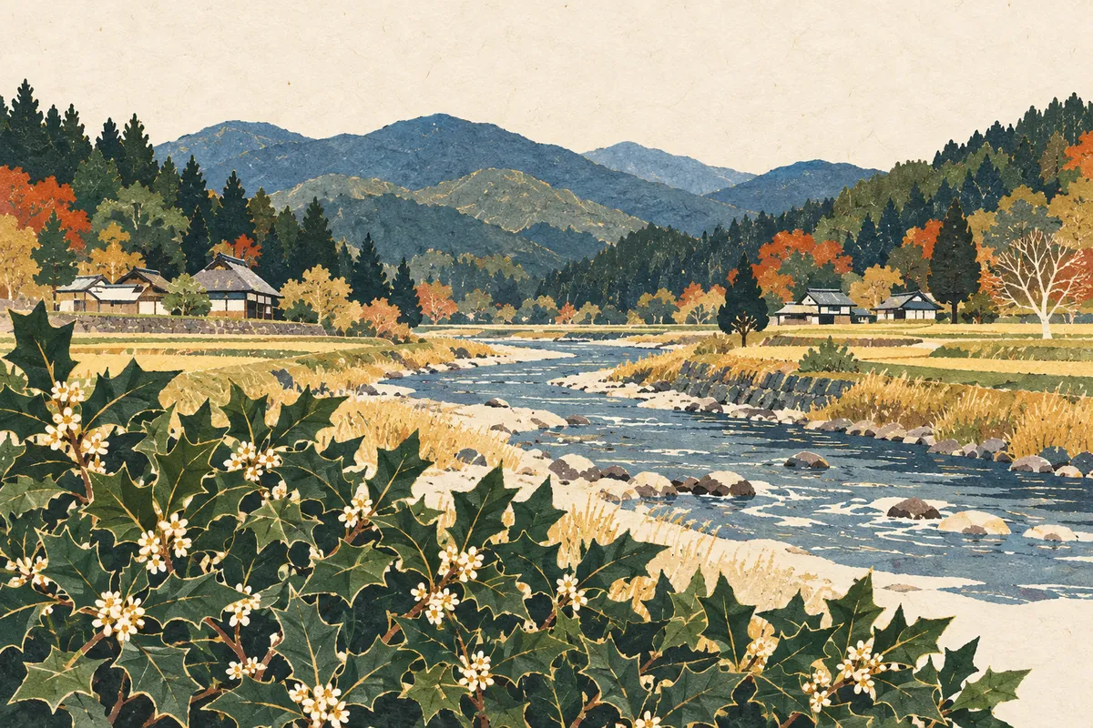
Hiragino
柊野, read Hiragino, is an area name in Kita Ward, spreading along both banks of the Kamo River north of Kamigamo Shrine. The name is said to come from holly (hiiragi) that once grew thickly all over the area. There is no town in the official address system called Hiragino; the name survives in the names of a school district, an elementary school, a dam, and a bus stop.
Read more
Kirarazaka
雲母坂, read Kirarazaka, is a mountain path that climbs from Shūgakuin in Sakyō Ward to Mount Hiei. Its name is said to come from the mica (unmo, 雲母) contained in the granite sand and soil. As the shortest route from Kyoto to Enryaku-ji, it is an old road climbed by monks and imperial envoys.
Read more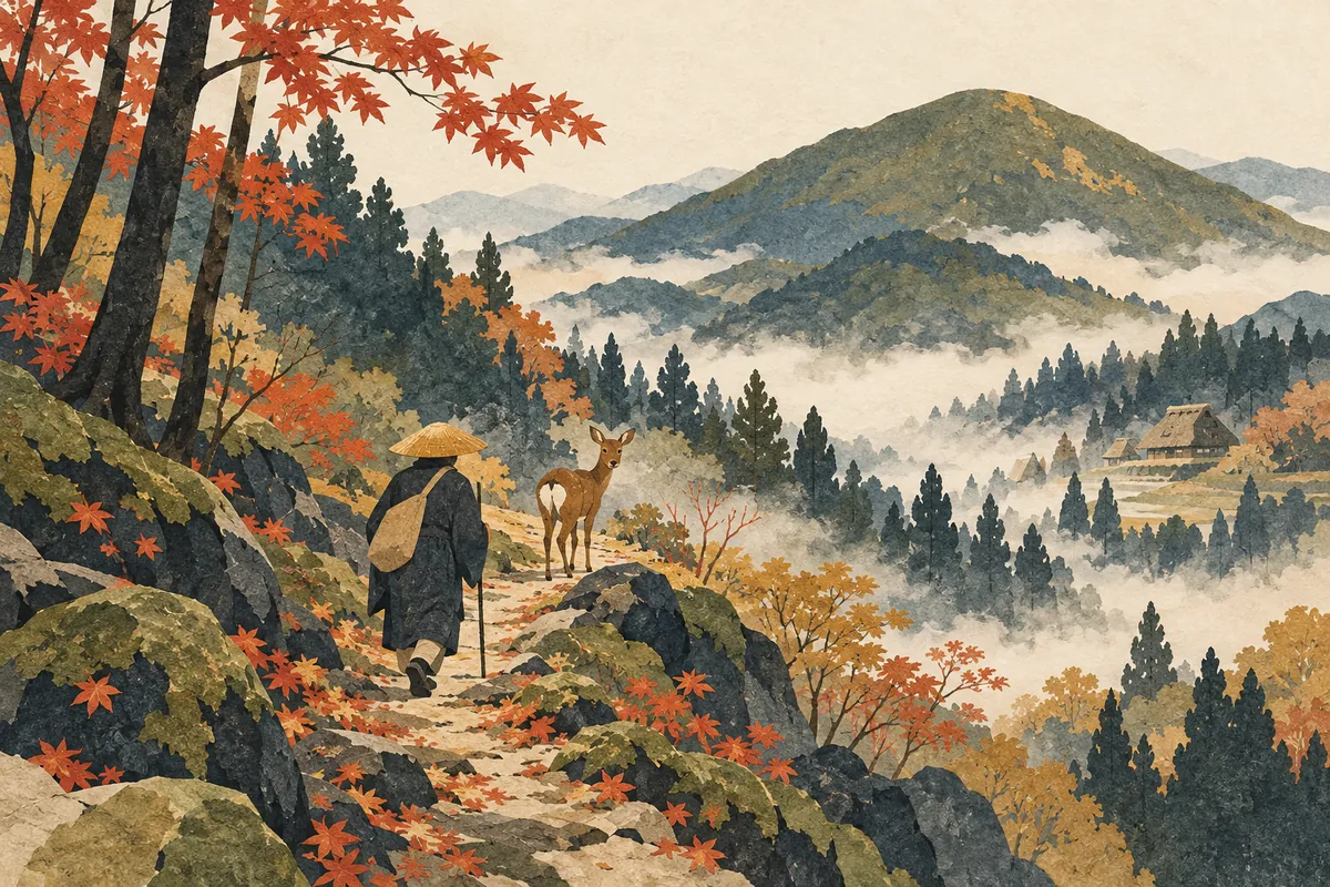
Shishigatani
鹿ケ谷, read Shishigatani (ししがたに), is an area of Sakyō Ward spreading across the western foot of Nyoigatake. Its name is said to come from a legend that when Chishō Daishi (Enchin) visited, a single deer appeared and showed him the way. The name survives today in 18 town names, such as Shishigatani Hōnen'in-chō.
Read more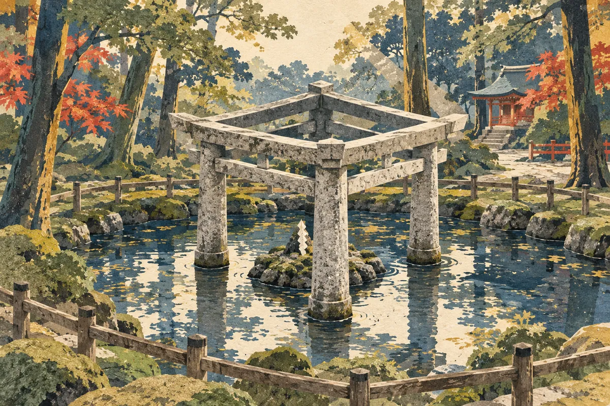
Kaiko-no-yashiro
蚕ノ社 is read Kaiko-no-yashiro ("silkworm shrine"). It is the popular name of Konoshima-ni-imasu-amaterumitama Shrine in Uzumasa, Ukyō Ward, and is also a Randen station name. The name is said to come from the Kokai Shrine (養蚕神社) in its grounds, which enshrines the silkworm. It is an ancient shrine regarded as the clan shrine of the Hata clan, who excelled at sericulture and weaving, and it is also known for its Mihashira Torii, which combines three torii gates.
Read more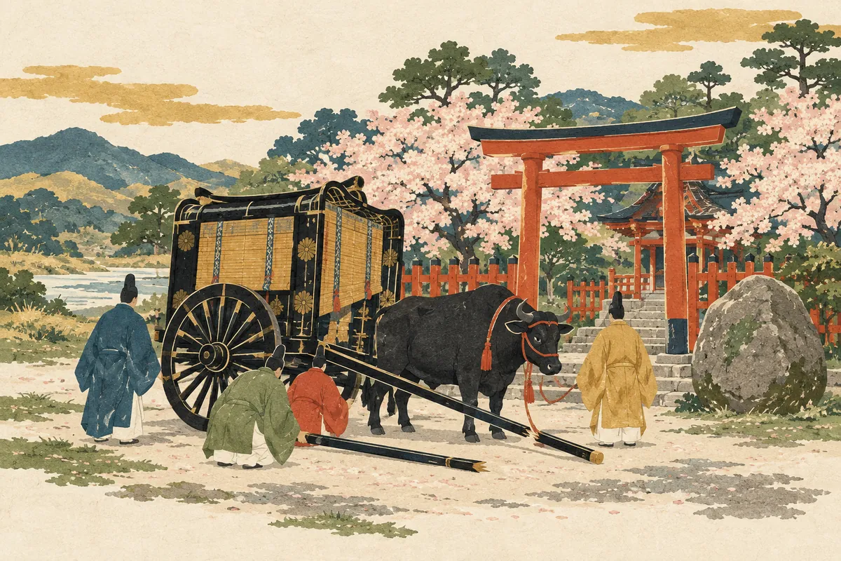
Kurumazaki Jinja
車折神社 is a shrine in Saga, Ukyō Ward, read Kurumazaki Jinja (くるまざきじんじゃ), and its name is also used for a Randen station and a bus stop. Tradition says that when Emperor Go-Saga was on his way to the Ōi River, the shafts of his ox carriage broke in front of the shrine; he granted it the divine title Kurumazaki Daimyōjin, and it has been called Kurumazaki Jinja ever since.
Read more
Imagumano
今熊野 is an area name in Higashiyama Ward, read with a voiced g as Imagumano in town names such as Imagumano-Ikeda-chō. The name of the Imagumano school district is said to come from Imakumano Shrine (新熊野神社), founded in 1160 (Eiryaku 1) by Retired Emperor Go-Shirakawa, who invited the deity of Kumano in Kii Province.
Read more
Kanshuji / Kajuji
勧修寺 is a name read two ways: the temple in Yamashina Ward is Kajūji, while the surrounding town names, such as Kanshūji-Niōdō-chō, are Kanshūji. Tradition says Emperor Daigo founded the temple in 900 (Shōtai 3) at the wish of his birth mother and named it after the posthumous title of his grandfather, Fujiwara no Takafuji.
Read more
Chūshojima
Chūshojima (中書島) is a place name in Fushimi Ward, also the name of a station on the Keihan Main Line and Uji Line. In the days of the Fushimi Castle town, Wakisaka Yasuharu, who held the title Nakatsukasa-no-taifu, had his residence here, and chūsho (中書), the Chinese-style name for the office of Nakatsukasa, is said to have become fixed as the place name. It was originally an island separated by the Uji River and corresponds to present-day Higashi-Yanagi-chō and Nishi-Yanagi-chō.
Read more
Sumizome
墨染, read Sumizome (すみぞめ), is a place name in Fushimi Ward used for Sumizome Station on the Keihan Main Line and for the town names Sumizome-chō and Fukakusa Sumizome-chō. The place name is said to come from the legend of Bokusen-ji (墨染寺), in which cherry blossoms bloomed in the ink-gray color of mourning after a poet offered a poem grieving the death of Fujiwara no Mototsune.
Read more
Shumoku-machi
撞木町 is a town name in Fushimi Ward, read Shumoku-machi (しゅもくまち) as a town name. The name is said to have arisen because the pleasure quarter opened here in 1604 (Keichō 9) was shaped like a shumoku, the T-shaped striker used to ring a bell, and this is also carved on a monument erected in 1918 (Taishō 7).
Read more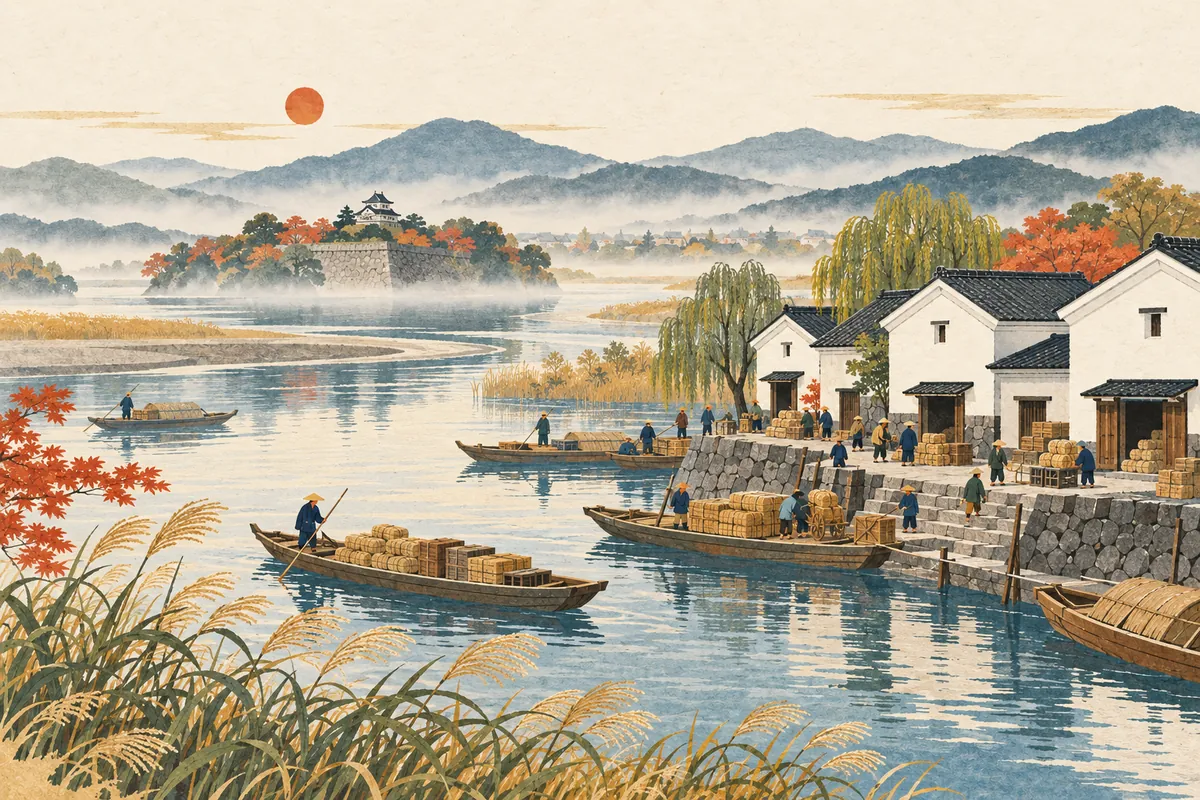
Noso
納所 is an area name in Fushimi Ward read Nōso (のうそ), and it survives in 12 town names such as Nōso Izumiya and Nōso Kitashirobori. Nōso means "a place where goods are delivered," and it is said to have arisen as a place to temporarily store goods being transshipped up the Yodo River to the capital. From the Muromachi period to Hideyoshi's time, the old Yodo Castle stood here.
Read more
Hazukashi
Hazukashi (羽束師) is an area name in Fushimi Ward, preserved in town names such as Hazukashi-Shimizu-chō and Hazukashi-Hishikawa-chō. The name goes back to the ancient Hatsukashi district of Otokuni County, and theories of its origin include one linking it to the Haji clan, one linking it to the hatsukashibe (泥部), who handled earthwork and building, and one tying it to arrow-making. At the heart of the area is Hazukashi Shrine, recorded as "Hatsukashi no Kami" (波都賀志神) in the Shoku Nihongi.
Read more
Hosono
祝園 is read Hōsono and is a place name in Seika Town, Sōraku District. It was anciently called Hafurisono (波布理曽能, 羽振苑), and it appears in the legend of Takehaniyasuhiko (武埴安彦) in the Kojiki and Nihon Shoki. Hōsono Shrine preserves the Igomori Festival, linked to that legend and designated an intangible folk cultural property of Kyoto Prefecture.
Read more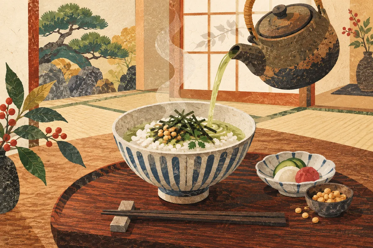
Bubuzuke
Bubuzuke (ぶぶ漬け) means ochazuke (rice with tea poured over it), and bubu (ぶぶ) is a word for tea or hot water. A well-known story says that if you are offered bubuzuke with "Bubuzuke demo dō dosu?" ("How about some bubuzuke?"), it is a signal that your host wants you to leave. However, one survey found that very few people had ever actually been told this, so it seems best to regard the story as a popular myth.
Read more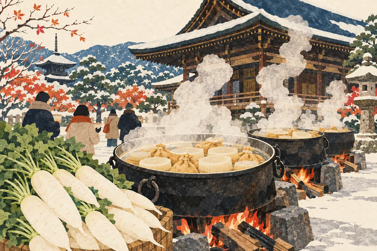
Daiko-daki
Daiko-daki (大根焚き) is an event held at Kyoto temples, mainly in December, in which daikon radishes that have been blessed with prayers are simmered in huge pots and served to worshippers. It is said that eating them protects you from chūbu (stroke). At Senbon Shaka-dō (Daihōon-ji) it is held every year on December 7 and 8 to coincide with the Jōdō-e, and in 2026 it is scheduled for Monday, December 7, and Tuesday, December 8.
Read more
Dontsuki
Dontsuki (どんつき) is a word for the place where a road or the like comes to an end—that is, a dead end or the point where a road meets something head-on. It is said to be used mainly in the Kansai region, and in Kyoto dialect people also say dontsuki dosu (どんつきどす, "it's at the end of the road").
Read more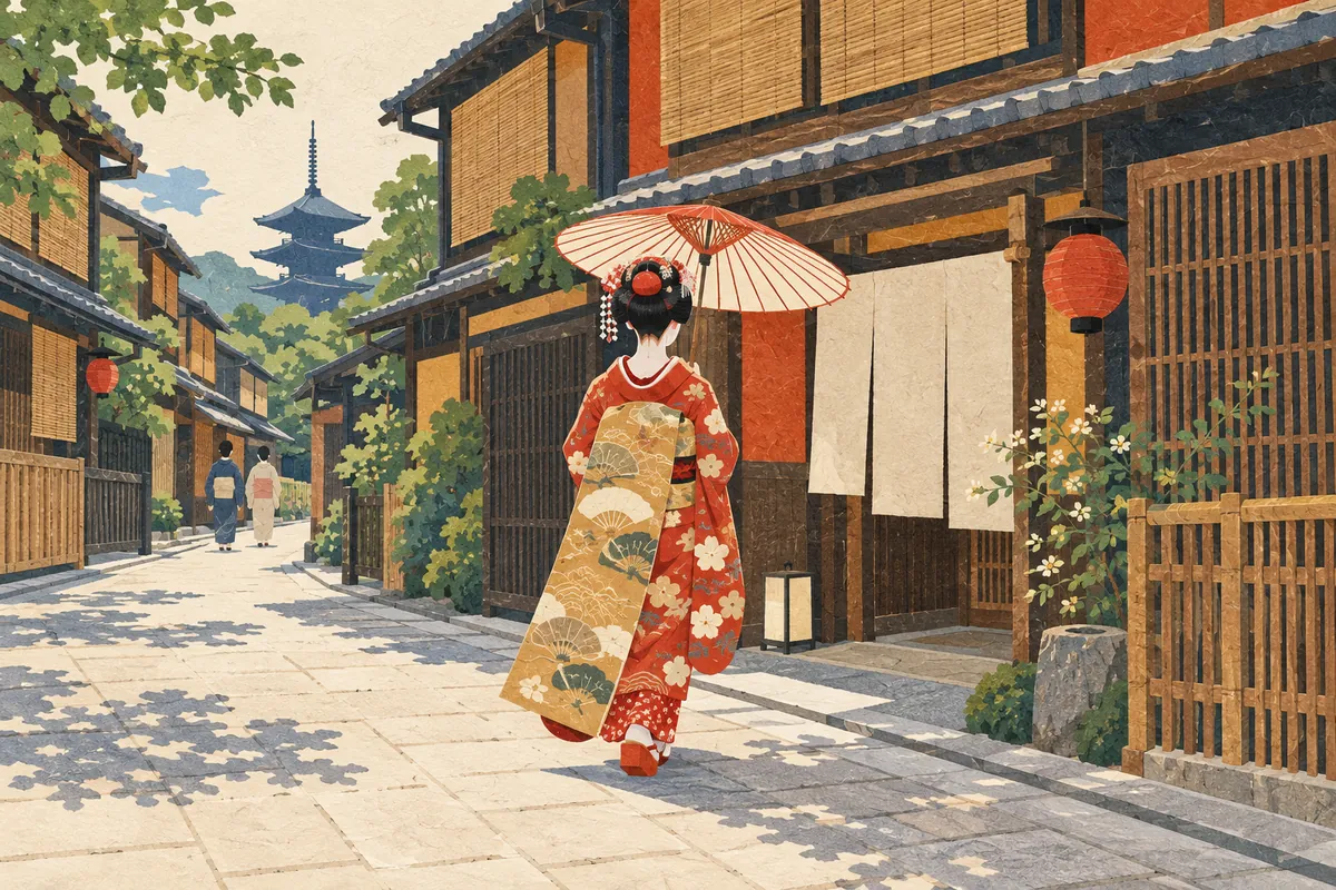
Hassaku
Hassaku (八朔) is short for hachigatsu sakujitsu (八月朔日, "the first day of the eighth month")—that is, August 1. In Kyoto's kagai (geisha districts), it is handed down as an event in which geiko and maiko visit their teachers of the arts and the teahouses (ochaya) on this day to express their thanks for everyday support. It is said to have spread from a farmers' custom of presenting the first rice of the harvest to benefactors.
Read more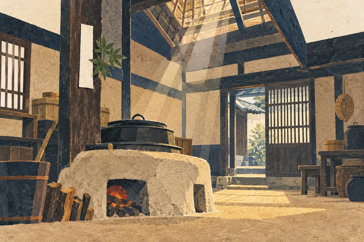
Hi-no-yojin Fire-Prevention Charm (火迺要慎)
Hi-no-yōjin (火迺要慎) is a charm against fire, issued by Atago Shrine on the summit of Mount Atago, the highest peak in Kyoto City. In Kyoto it is customary to post it in the kitchen or near the cooking stove (okudo-san) to ward off fire, and visiting during Sennichi-mairi, from the night of July 31 to the early morning of August 1 each year, is said to bring a thousand days' worth of blessings.
Read more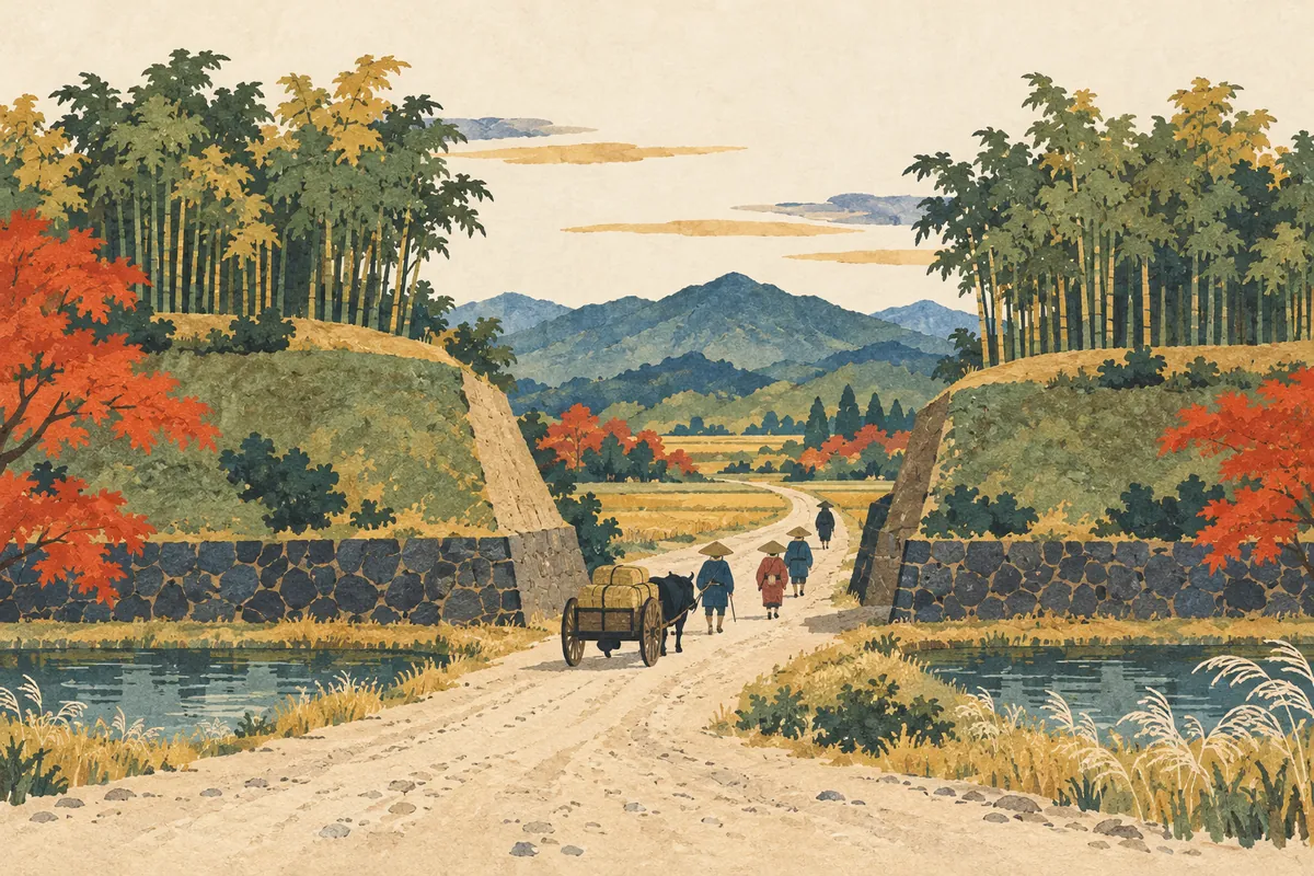
Kyō no Nanakuchi (Seven Entrances to Kyoto)
Kyō no Nanakuchi ("the Seven Entrances to Kyoto") is a collective name for the points where the highways linking Kyoto with other regions entered the city. They are said to have become known as the openings in the Odoi, the earthen wall Toyotomi Hideyoshi built in 1591, but the number and the names of the entrances differ by period and by source, and "seven" does not mean exactly seven.
Read more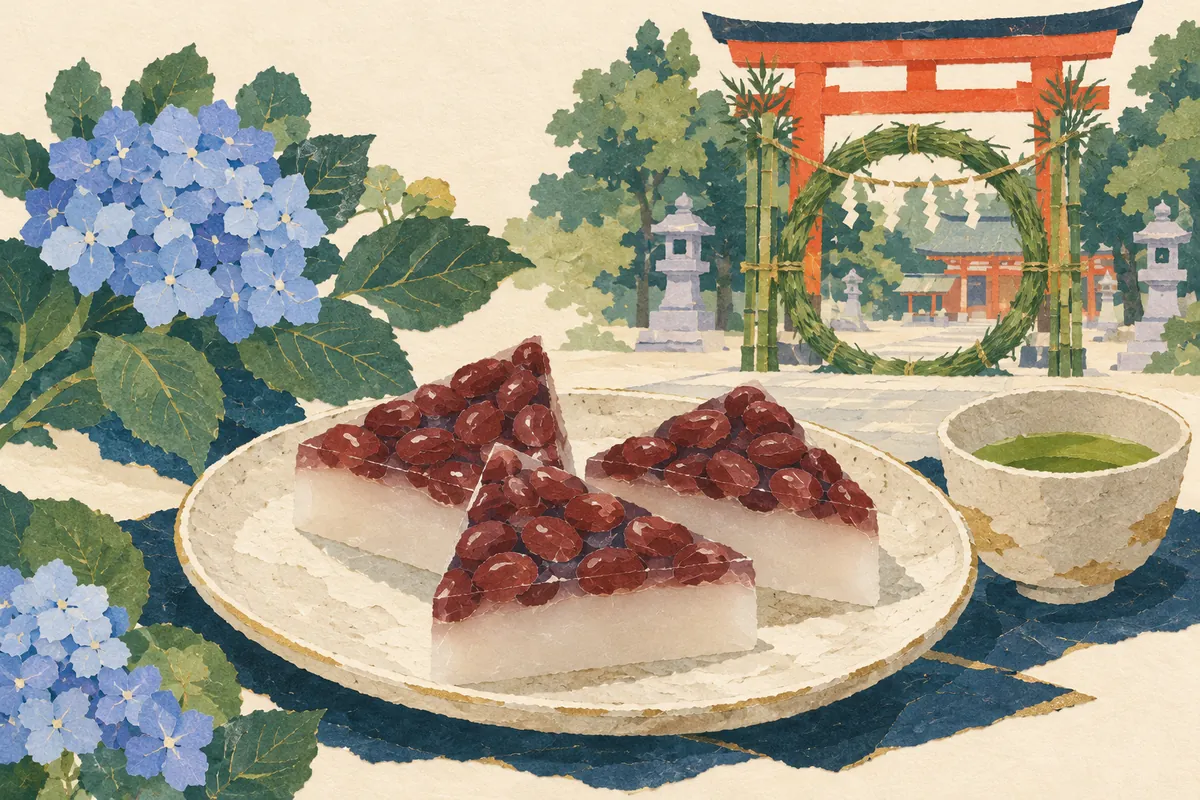
Minazuki
Minazuki (水無月) is a Kyoto wagashi made of white uirō (a steamed rice-flour cake) topped with azuki beans and cut into triangles. In Kyoto it is customary to eat it at the Nagoshi no Harae (summer purification) on June 30, to cleanse the impurities of the past half year and pray for good health for the rest of the year. The triangle is said to represent ice that drives away the summer heat, and the red of the azuki beans to ward off evil.
Read more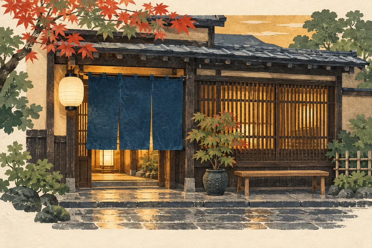
Oideyasu and Okoshiyasu
Oideyasu (おいでやす) and okoshiyasu (おこしやす) are both Kyō-kotoba (Kyoto dialect) greetings equivalent to irasshaimase, "welcome," said when receiving guests. It is sometimes explained that okoshiyasu is for eagerly awaited guests or regulars and oideyasu for first-time customers, but dictionaries treat both as the same "welcome," and the distinction is described more as a rough guide than a rule.
Read more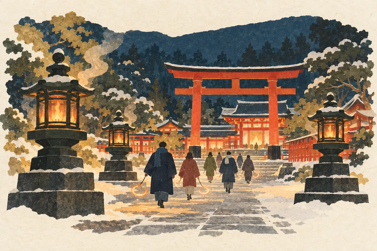
Okera-mairi
Okera-mairi (をけら詣り) is a year-end event held at Yasaka Shrine from the night of New Year's Eve into the early morning of New Year's Day. Worshippers transfer the okera-bi (okera fire), burned together with the medicinal herb okera (白朮), onto a fire rope also called a kitchō-nawa, and pray for good health throughout the year. It usually runs from around 7:30 p.m. on December 31 until around 5:00 a.m. on New Year's Day; in 2026 it takes place on Thursday, December 31.
Read more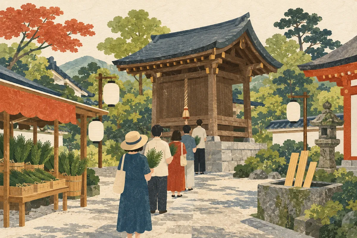
Rokudo Mairi
Rokudō Mairi (六道まいり) is a Kyoto event held before Obon, in which people visit Rokudō Chinnō-ji (六道珍皇寺) in Higashiyama Ward and ring the Mukae-gane (welcoming bell) to welcome the spirits of their ancestors, the oshōrai-san (お精霊さん); it is also called Shōrai-mukae. It usually runs for four days, August 7–10; in 2026 it was held from Friday, August 7, to Monday, August 10, from 6:00 a.m. to 10:00 p.m.
Read more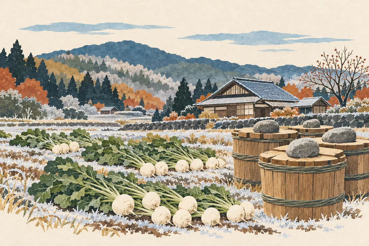
Suguki
Suguki (酸茎, "sour stem") is the name of a kind of turnip grown since long ago in Kamigamo, Kyoto, and of the pickle made by pickling it with salt alone and fermenting it with lactic acid. It is known for its distinctive sourness and is counted among Kyoto's three great pickles, together with senmaizuke and shibazuke. It is harvested and pickled from mid-November to around January and is loved as one of the representative pickles of a Kyoto winter.
Read more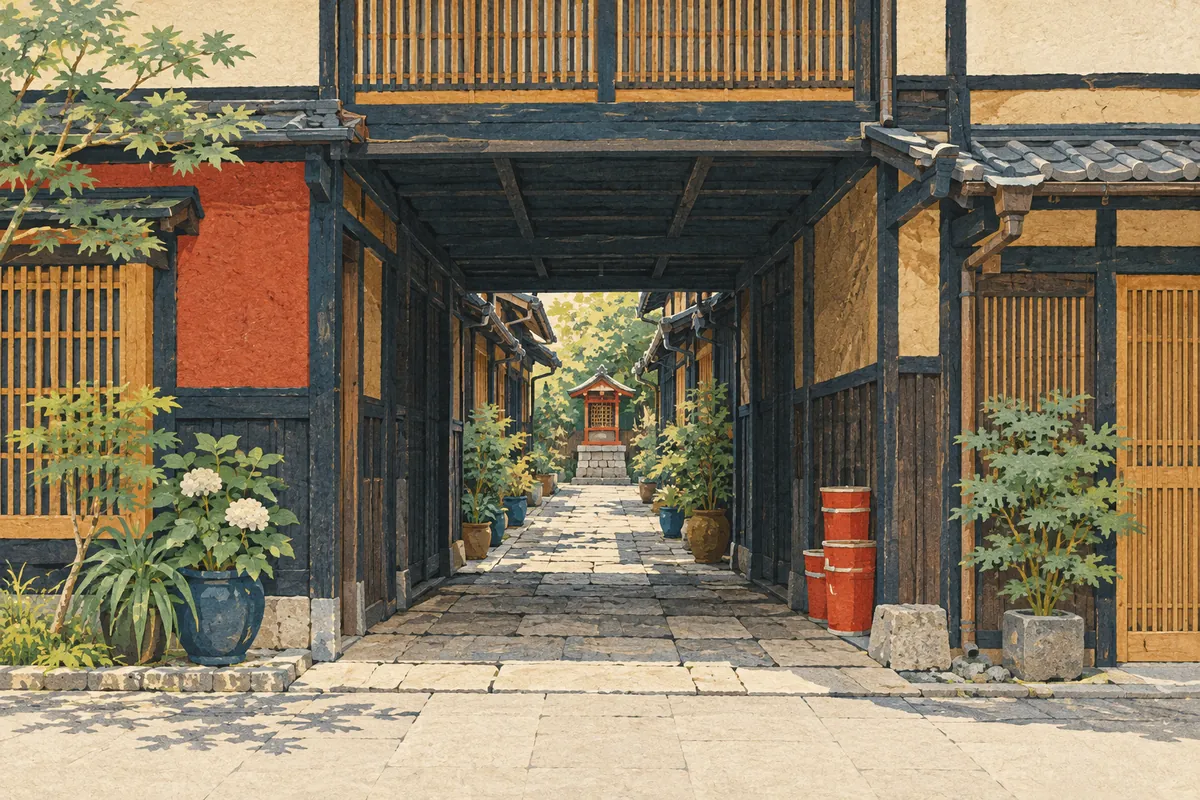
Zushi and Roji
In Kyoto, a narrow lane that connects one street with another is sometimes called a zushi (辻子 or 図子), and one that dead-ends at the back is called a roji (路地, pronounced rōji locally). However, both are often lumped together as roji, and there is no clear-cut distinction.
Read more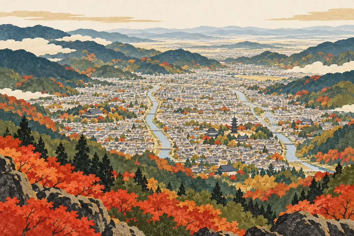
The Kyoto Basin and Its Density of Cultural Properties
The Kyoto Basin is enclosed by Mount Hiei and the Higashiyama range to the east and by Mount Atago and the Kitayama range to the west and north, and it opens to the south. Kyoto's urban area developed mainly within this basin, with the Kamo and Katsura rivers flowing through it from north to south. The city stretches about 49.5 km from north to south and covers 827.83 km², and it holds about 20% of Japan's National Treasures.
Read more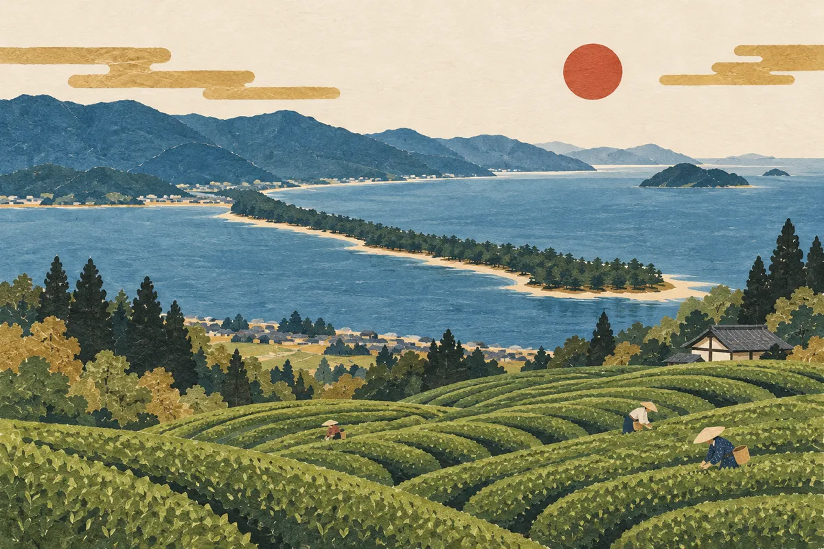
Amanohashidate and Uji Tea: The Reach of Kyoto Prefecture
Kyoto Prefecture is long and narrow from north to south, stretching from its northern coast on the Sea of Japan to the south, where Uji tea is grown. Setting Amanohashidate in Miyazu City in the north side by side with the Uji tea culture of the south shows that Kyoto is more than just Kyoto City. The prefecture has 26 municipalities—15 cities, 10 towns, and 1 village—and covers 4,612.21 km².
Read more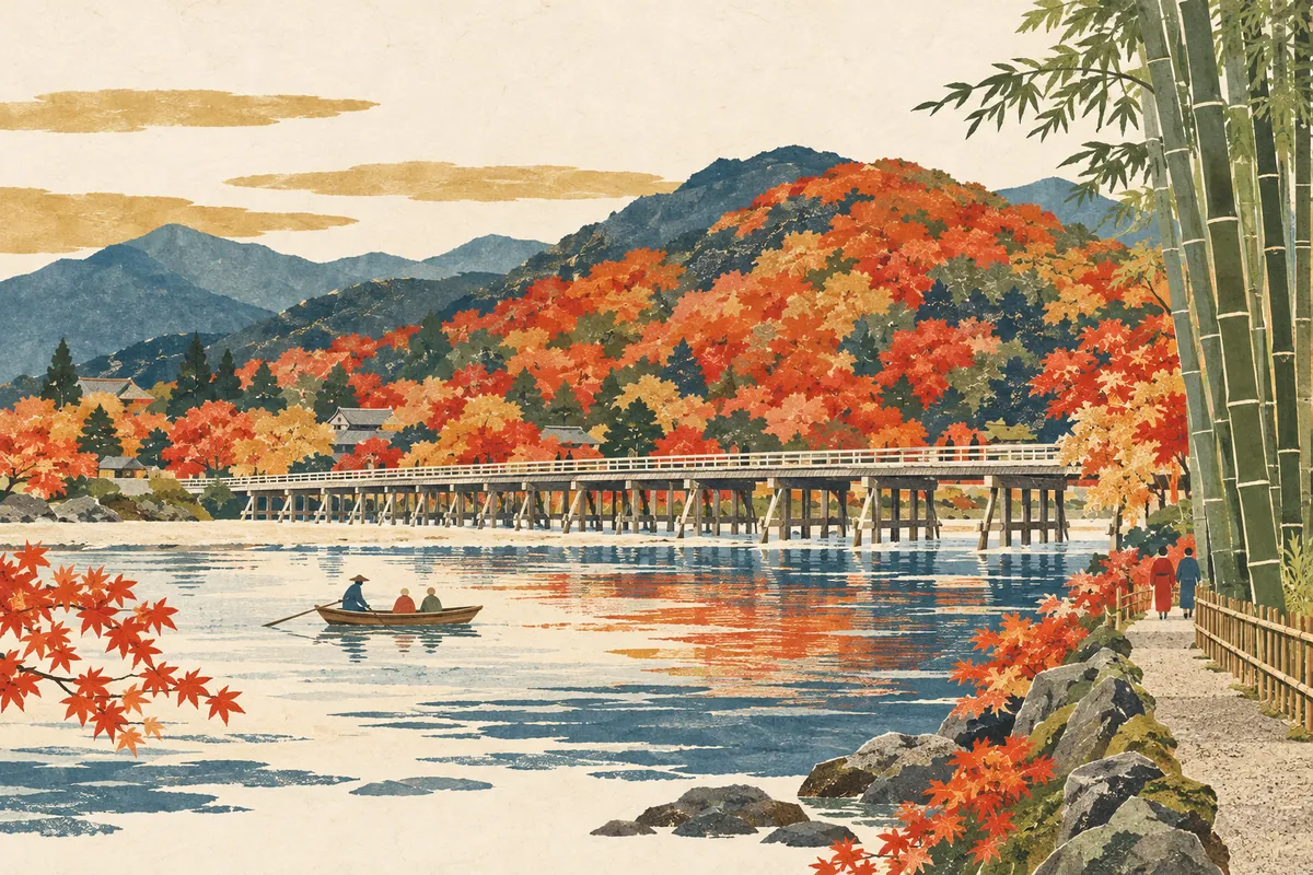
Arashiyama: Togetsukyō, the Bamboo Grove, and the River's Names
The scenery of Arashiyama is shaped not only by Togetsukyō Bridge and the bamboo grove, but also by a single river whose name changes from place to place: the Hozu, the Ōi, and the Katsura.
Read more
The Kamo River Confluence: 鴨川, 賀茂川, and the Takano River
Kyoto's Kamo River (鴨川) meets the Takano River near Demachiyanagi. Upstream, it is also written 賀茂川 (also read Kamogawa), and its tributary the Shirakawa rises on Mount Hiei and flows through Gion.
Read more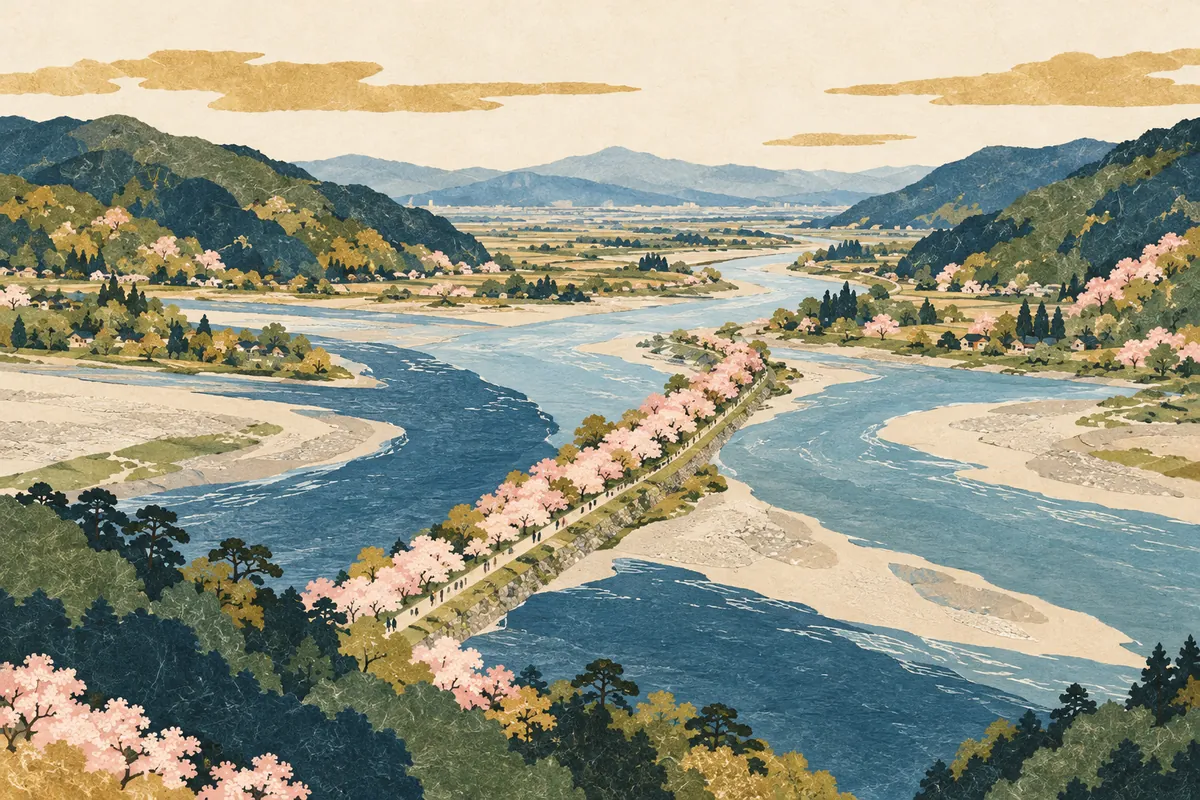
The Waterway from the Seta River to the Uji and Yodo Rivers
Water flowing out of Lake Biwa changes its name to the Seta River and then the Uji River, and near the border between Kyoto and Osaka prefectures it joins the Katsura and Kizu rivers to become the Yodo River. Under the River Act, the Seta and Uji rivers are also treated as part of the "Yodo River," and the different names reflect the land and history of the basin.
Read more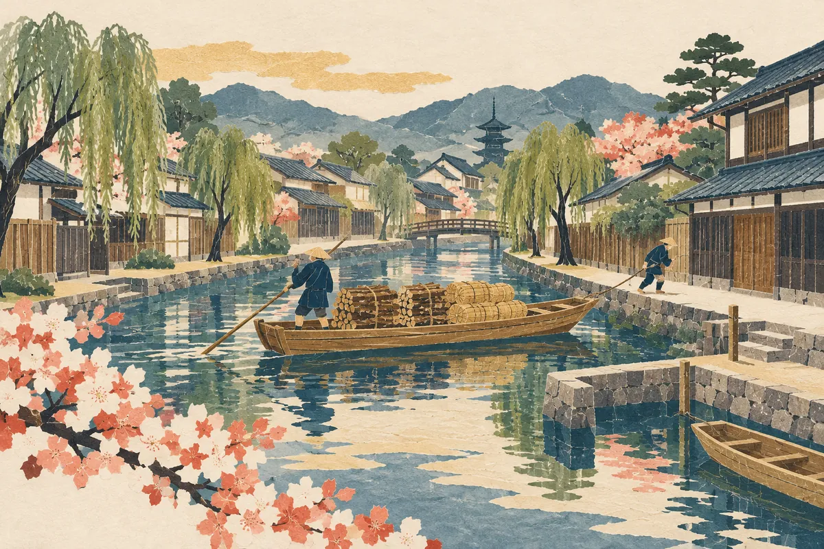
Suminokura Ryoi and Kyoto's Water Transport
Suminokura Ryōi was a merchant who, at the beginning of the Edo period, opened the Ōi River and the Takase River and created waterways for carrying goods to inland Kyoto. He is known as the man who turned rivers into part of the city's logistics network.
Read more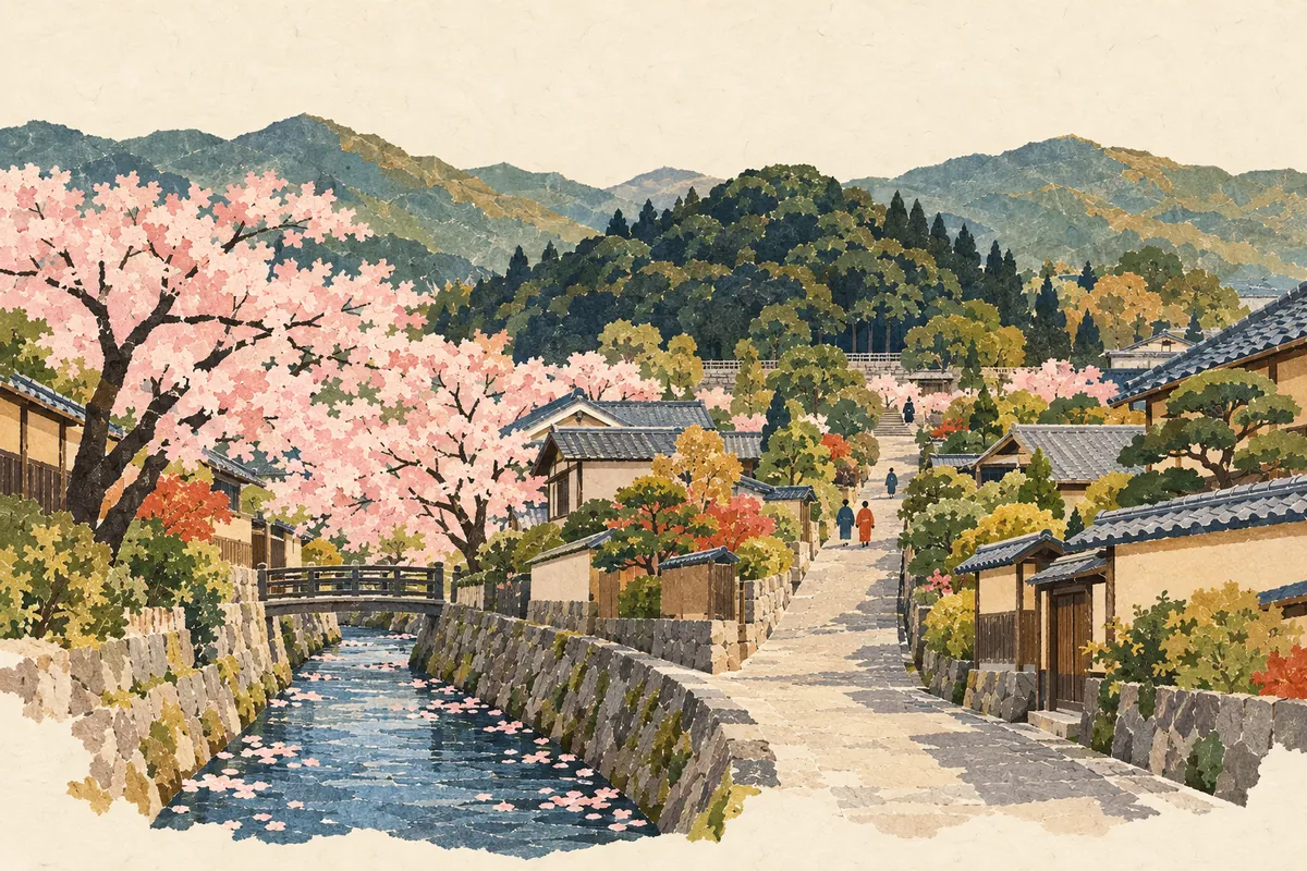
How to Read Misasagi and Katabiranotsuji
御陵 in Yamashina Ward is read Misasagi (みささぎ), and 帷子ノ辻 on the Randen tram line is read Katabiranotsuji (かたびらのつじ). Both appear every day as station names, yet both are hard to read at first sight.
Read more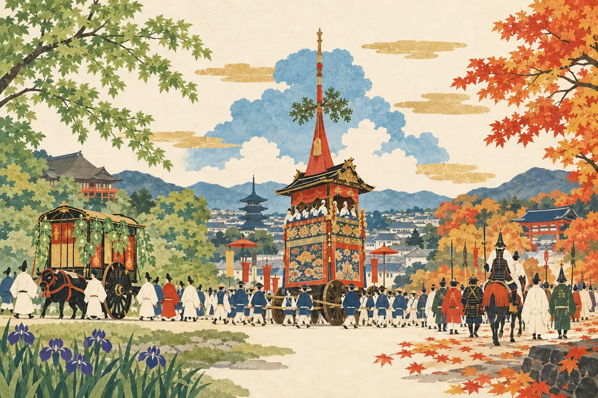
What Are Kyoto's Three Great Festivals?
Kyoto's Three Great Festivals are the Aoi Matsuri in spring, the Gion Matsuri in summer, and the Jidai Matsuri in autumn. The Aoi Matsuri belongs to Shimogamo and Kamigamo shrines, the Gion Matsuri to Yasaka Shrine, and the Jidai Matsuri to Heian Shrine, and they differ in both the era they began and their character. The Gozan Okuribi in August is also one of Kyoto's signature events, but as a Buddhist observance for sending off ancestral spirits, it is not counted among the Three Great Festivals.
Read more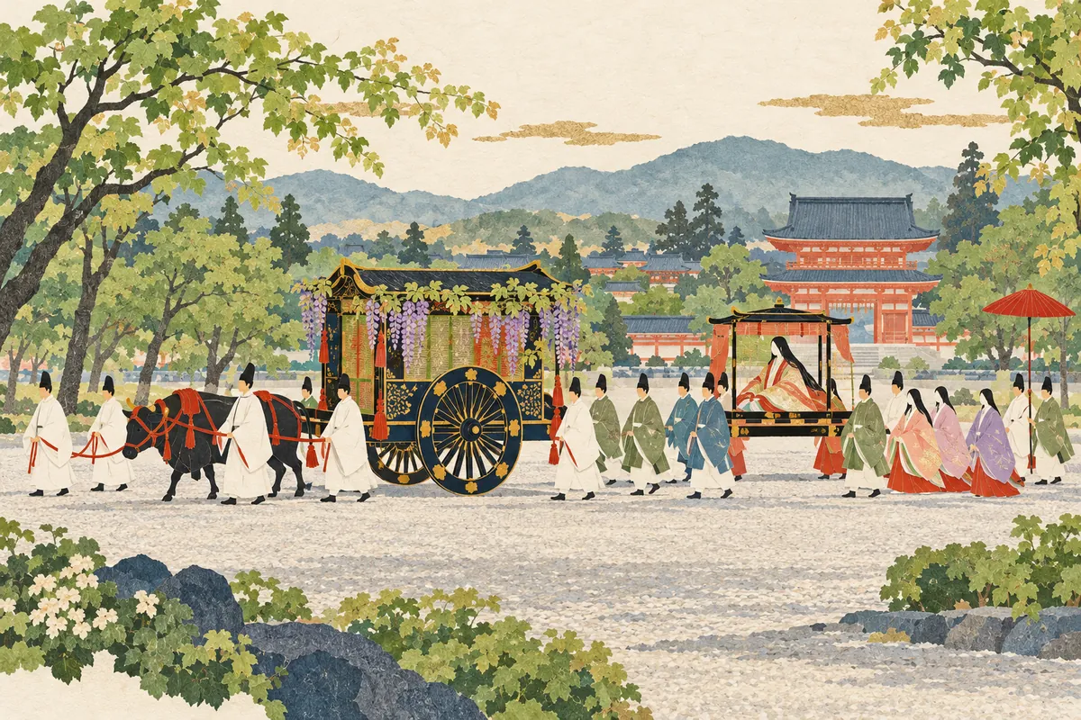
Aoi Matsuri: Costumes, Route, and the Origin of Its Name
The Aoi Matsuri (Aoi Festival), held every year on May 15, is one of Kyoto's three great festivals and was originally called the Kamo Matsuri (Kamo Festival). Its name is said to come from decorating the bamboo blinds (misu), ox carriages, and more with futaba-aoi (two-leaved wild ginger), and the Rotō no Gi procession in Heian-period costume leaves the Kyoto Imperial Palace and travels about 8 kilometers via Shimogamo Shrine to Kamigamo Shrine.
Read more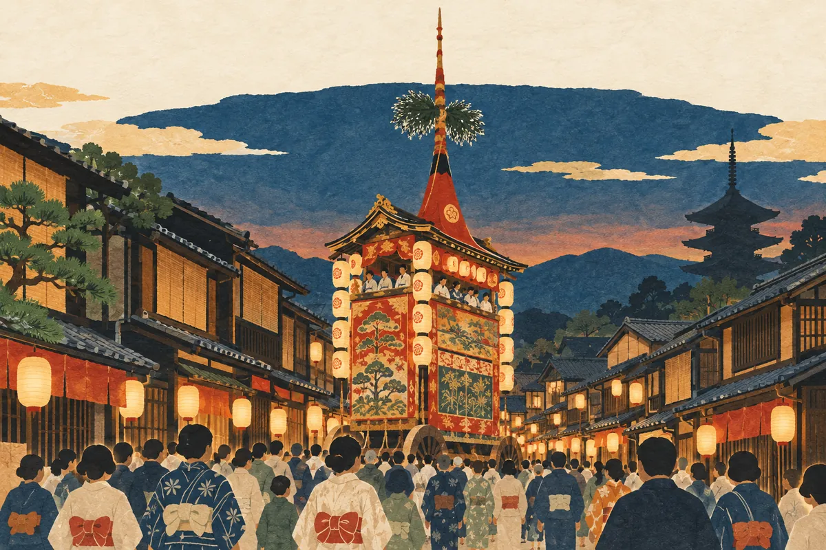
The Gion Festival's Month and Its Yamahoko Floats
The Gion Festival (Gion Matsuri) is the festival of Yasaka Shrine, with a wide variety of events continuing throughout the month of July. It began with prayers to drive away epidemics, and 34 yamahoko floats appear in the Yamahoko Junkō procession.
Read more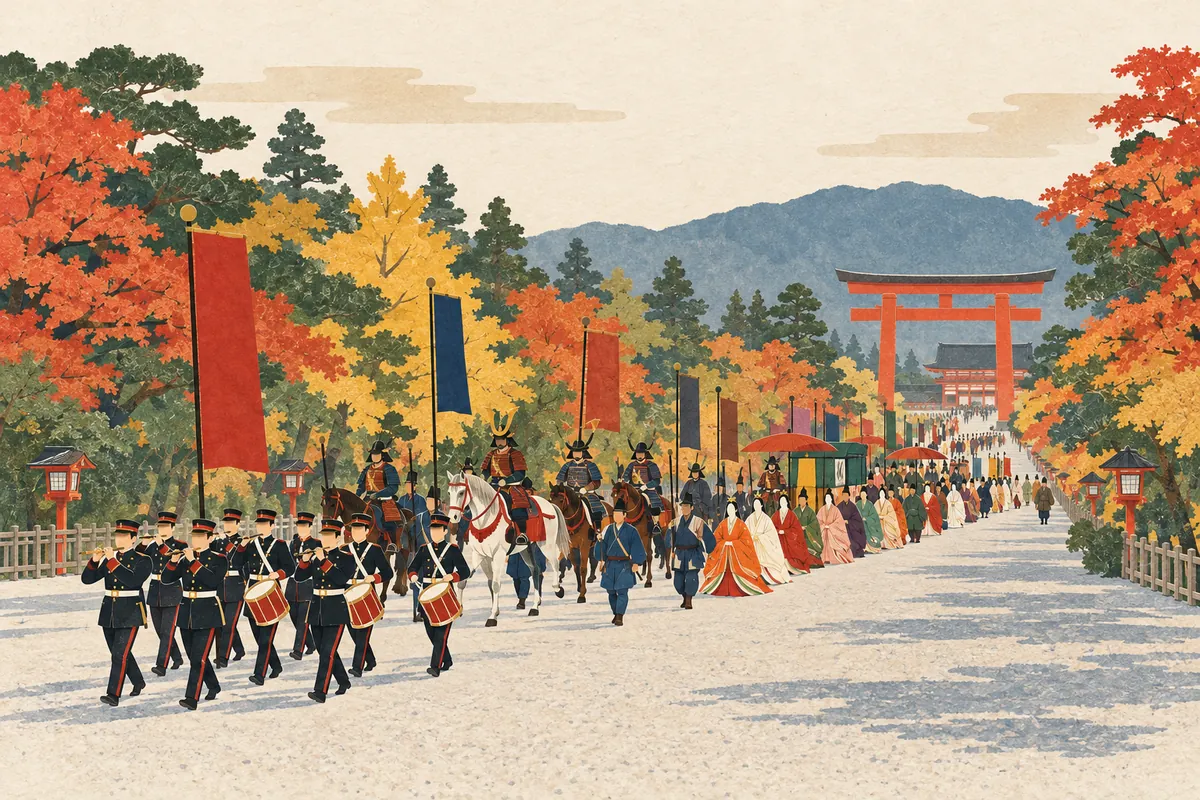
The Jidai Matsuri Procession: A Moving Picture Scroll of History
Jidai Matsuri is a procession held on October 22 in which about 2,000 people in the costumes of each era walk a line about 2 km long. Setting out from the Kyoto Imperial Palace and heading for Heian Shrine, it is known as a "moving picture scroll of history."
Read more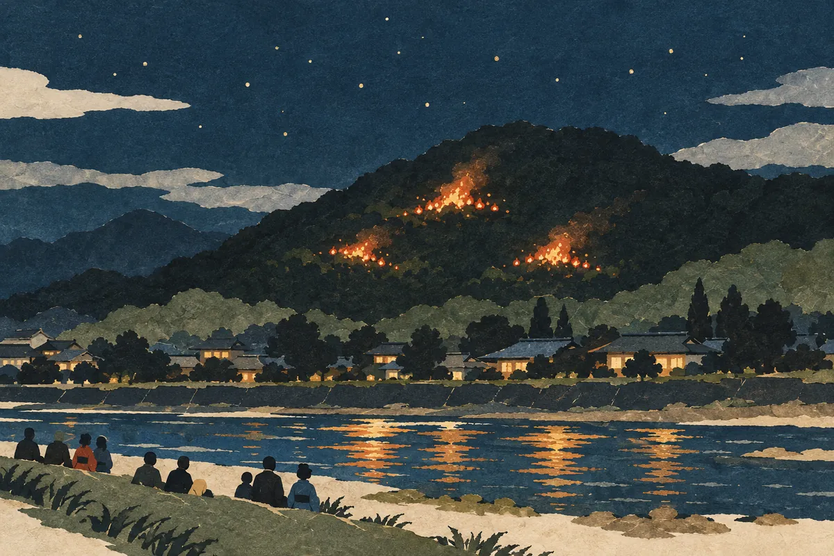
The Night of the Gozan no Okuribi
The Gozan no Okuribi (Five Mountain Send-off Fires) is an event on the night of August 16 in which five characters and shapes are lit in fire on the mountains surrounding Kyoto. It is handed down as a summer milestone in Kyoto, sending off the ancestral spirits (shōryō) welcomed home during Obon.
Read more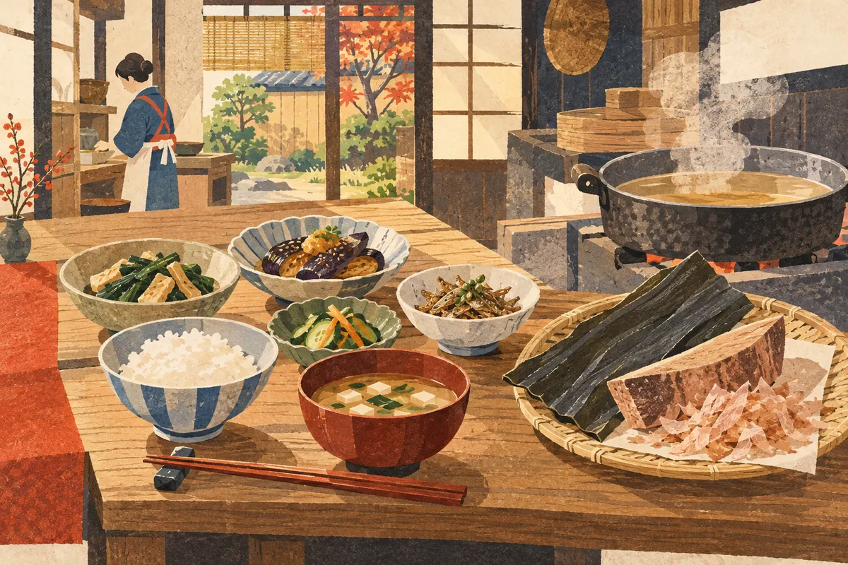
Obanzai and Kyoto's Dashi Culture
Obanzai (おばんざい) are the everyday side dishes handed down through generations in Kyoto homes. They are packed with household wisdom for making the most of seasonal ingredients, and their flavor rests on dashi (soup stock) made from kombu kelp and katsuo (bonito). Kyoto City ranks first among Japan's designated cities in household spending on both kombu and katsuobushi/shaved bonito flakes (2016–2018 average), and dashi is indispensable to Kyoto's food culture.
Read more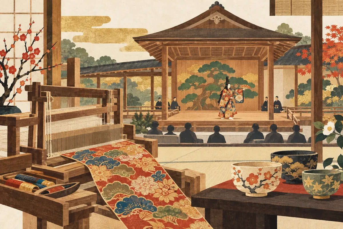
How Nōgaku, Nishijin-ori, and Kyō-yaki Are Connected
Kyoto's traditions extend beyond the performing arts to the textiles that adorn stage costumes and the vessels of everyday life. Nōgaku, Nishijin-ori, and Kyō-yaki/Kiyomizu-yaki are examples of skills and aesthetics handed down across generations.
Read more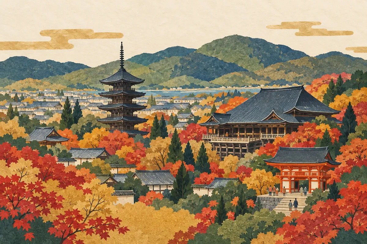
Historic Monuments of Ancient Kyoto: The 17 Component Sites
The World Cultural Heritage Site "Historic Monuments of Ancient Kyoto" is made up of 17 temples, shrines, and a castle—14 in Kyoto City, 2 in Uji City, and 1 in Ōtsu City, Shiga Prefecture—and was inscribed in 1994. It includes 198 buildings and 12 gardens, and all the sites except Nijō Castle are religious sites.
Read more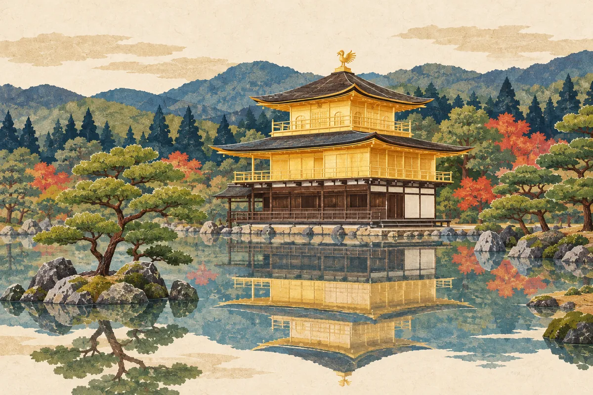
Kinkaku and Rokuon-ji: A Three-Story Building in Three Styles
The official name of Kinkaku-ji is Rokuon-ji. It began when Ashikaga Yoshimitsu started building his mountain villa, Kitayama-dono, in 1397 on land that had been a villa of the Saionji family in the Kamakura period, and its reliquary hall, Kinkaku (the Golden Pavilion), stacks a different architectural style on each story. Today's Kinkaku is a building reconstructed in 1955 after it burned down in 1950.
Read more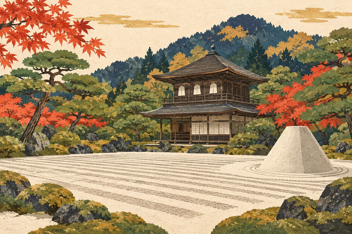
Ginkaku-ji (Jishō-ji) and Higashiyama Culture
The formal name of Ginkaku-ji (the Silver Pavilion temple) is Jishō-ji. It began when Higashiyama-dono, the mountain villa that Ashikaga Yoshimasa began building in 1482, was converted into a Zen temple after his death. The aesthetic of Higashiyama culture shows in the National Treasures Ginkaku (Kannon-den) and Tōgu-dō, and in a garden with the sand mounds Ginshadan and Kōgetsudai.
Read more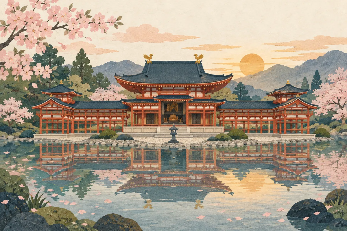
Byōdō-in's Phoenix Hall and Its Vision of the Pure Land
Byōdō-in's Phoenix Hall (Hōōdō) in Uji is an Amida hall completed in 1053 by Fujiwara no Yorimichi. In 1052, the year said to mark the start of mappō (the age of the decline of the Buddhist Law), he turned his villa into a temple and built the hall so that the Pure Land of Paradise would seem to lie to the west, across the pond. The seated Amida Nyorai by Jōchō and the statues of the Unchū Kuyō Bosatsu express the longing for rebirth in the Pure Land.
Read more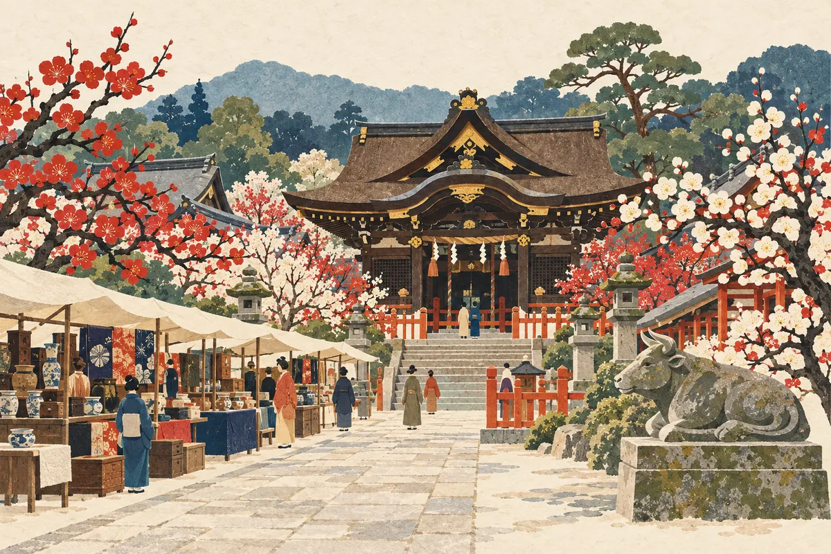
Kitano Tenmangu and Tenjin-san on the 25th
Kitano Tenmangū enshrines Sugawara no Michizane and is the head shrine of about 12,000 Tenmangū and Tenjin shrines across Japan. It is said to have been founded in 947 at Kitano, northwest of Heian-kyō. The Tenjin Market on the 25th of every month reflects the dates of Michizane's birth and death, and the current main hall was built by Toyotomi Hideyori.
Read more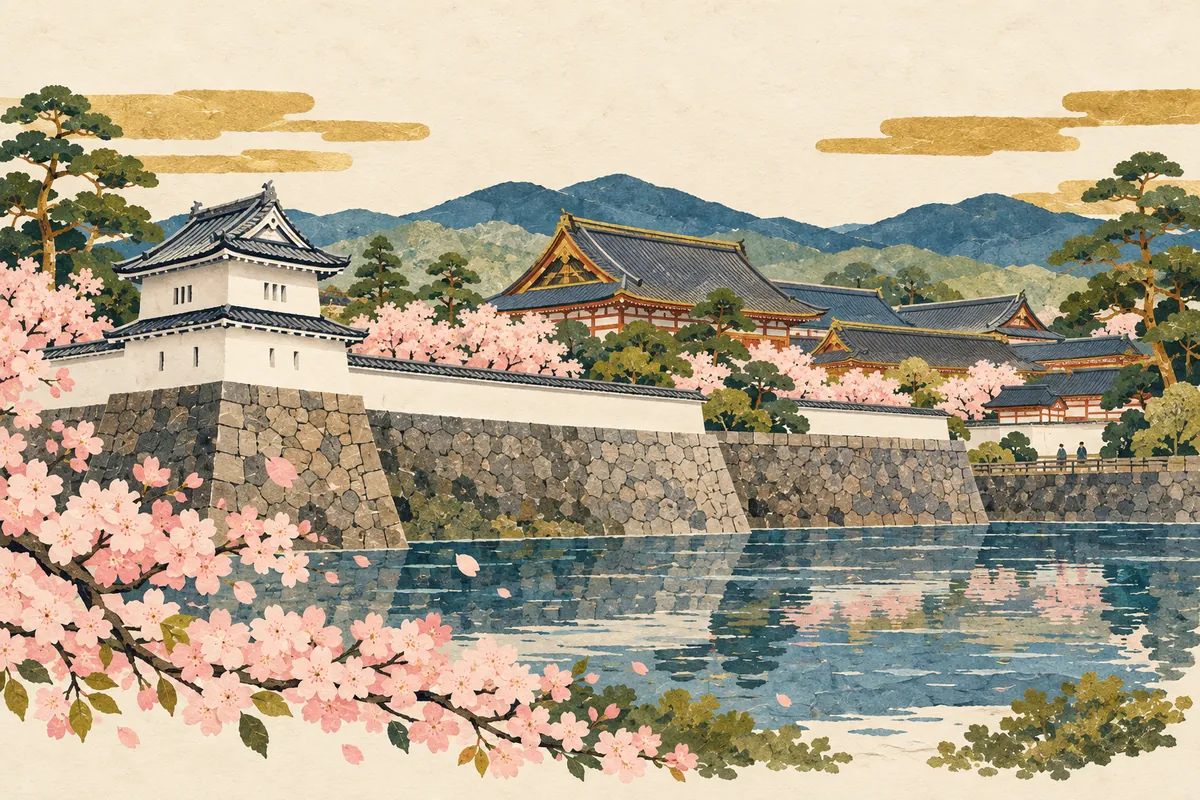
Nijo Castle and the Tokugawa Shoguns' Kyoto
Nijō Castle was built by Tokugawa Ieyasu to guard the Kyoto Imperial Palace and to serve as the shogun's lodging when visiting Kyoto. It reached its present size for Emperor Go-Mizunoo's imperial visit, and at the end of the Edo period it was the stage for Tokugawa Yoshinobu's Taisei Hōkan, the return of political power to the imperial court. After the Meiji era it became a detached imperial palace and was granted to Kyoto City in 1939; six buildings of the Ninomaru Palace are National Treasures.
Read more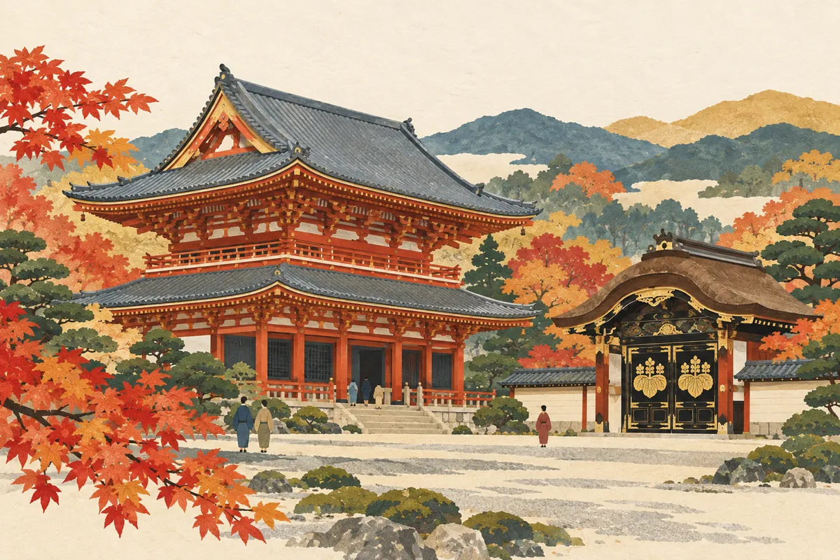
Tō-ji Kondō, Sanbō-in Karamon, and Nanzen-ji Hōjō
Kyoto's National Treasure buildings are distinctive not only in appearance but also in how they blend several styles, in their roofing materials, and in their histories of relocation. The Kondō of Tō-ji, the Karamon gate of Daigo-ji's Sanbō-in, and the Hōjō of Nanzen-ji all date from around the Momoyama period, and comparing their histories of rebuilding, relocation, and reuse reveals the time each building has lived through.
Read more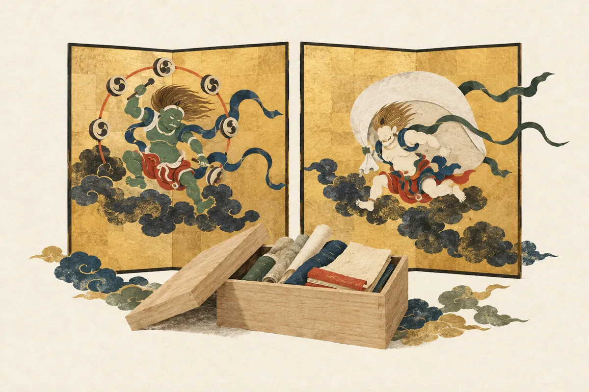
The Tōji Hyakugō Documents and the Wind God and Thunder God Screens
Kyoto's cultural properties are not only buildings. The Tōji Hyakugō Documents (Tōji Hyakugō Monjo) preserve more than 20,000 medieval records and were inscribed on UNESCO's Memory of the World Register in 2015. The Wind God and Thunder God screens were passed down from Tawaraya Sōtatsu's National Treasure to Ogata Kōrin's copy, and comparing them reveals differences in composition.
Read more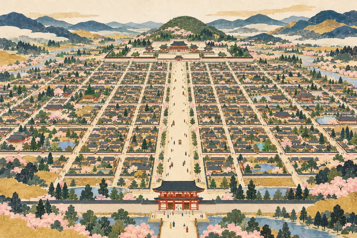
Heian-kyō's City Plan and Suzaku-ōji
Suzaku-ōji (朱雀大路, Suzaku Avenue) was a great avenue about 84 meters wide that ran north–south through the center of Heian-kyō, roughly corresponding to present-day Senbon-dōri. Heian-kyō was built in 794 on the model of Chang'an in China; it was divided by Suzaku-ōji into the Sakyō (Left Capital) and Ukyō (Right Capital), and laid out in a checkerboard grid using the units jō, bō, ho, and chō. It was a capital where you could describe a location by numbers alone, as in "Sakyō Sanjō Shibō Nichō" (Left Capital, 3rd jō, 4th bō, 2nd chō).
Read more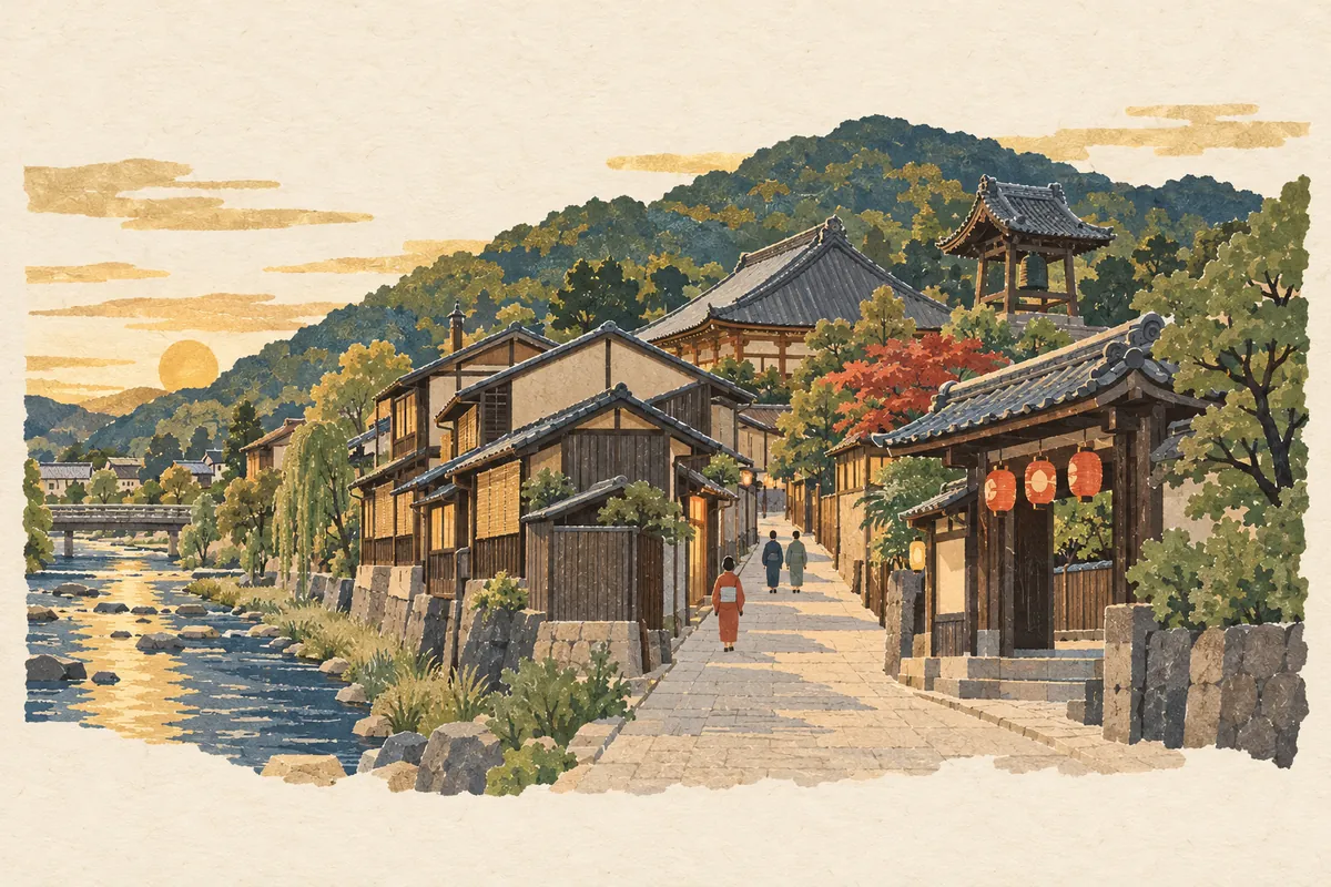
Rokuhara: From Taira Stronghold to Kamakura Shogunate Tandai
Rokuhara is a place name that referred to the area east of the Kamo River, from today's Matsubara-dōri to around Shichijō. In the late Heian period, the mansions of the Taira clan gathered here, and after the Jōkyū War the Kamakura shogunate's Rokuhara Tandai was established here as a base for watching over the imperial court and governing western Japan. Traces of the Taira mansions survive today in town names such as Tamon-chō, Kadowaki-chō, and Ikedono-chō.
Read more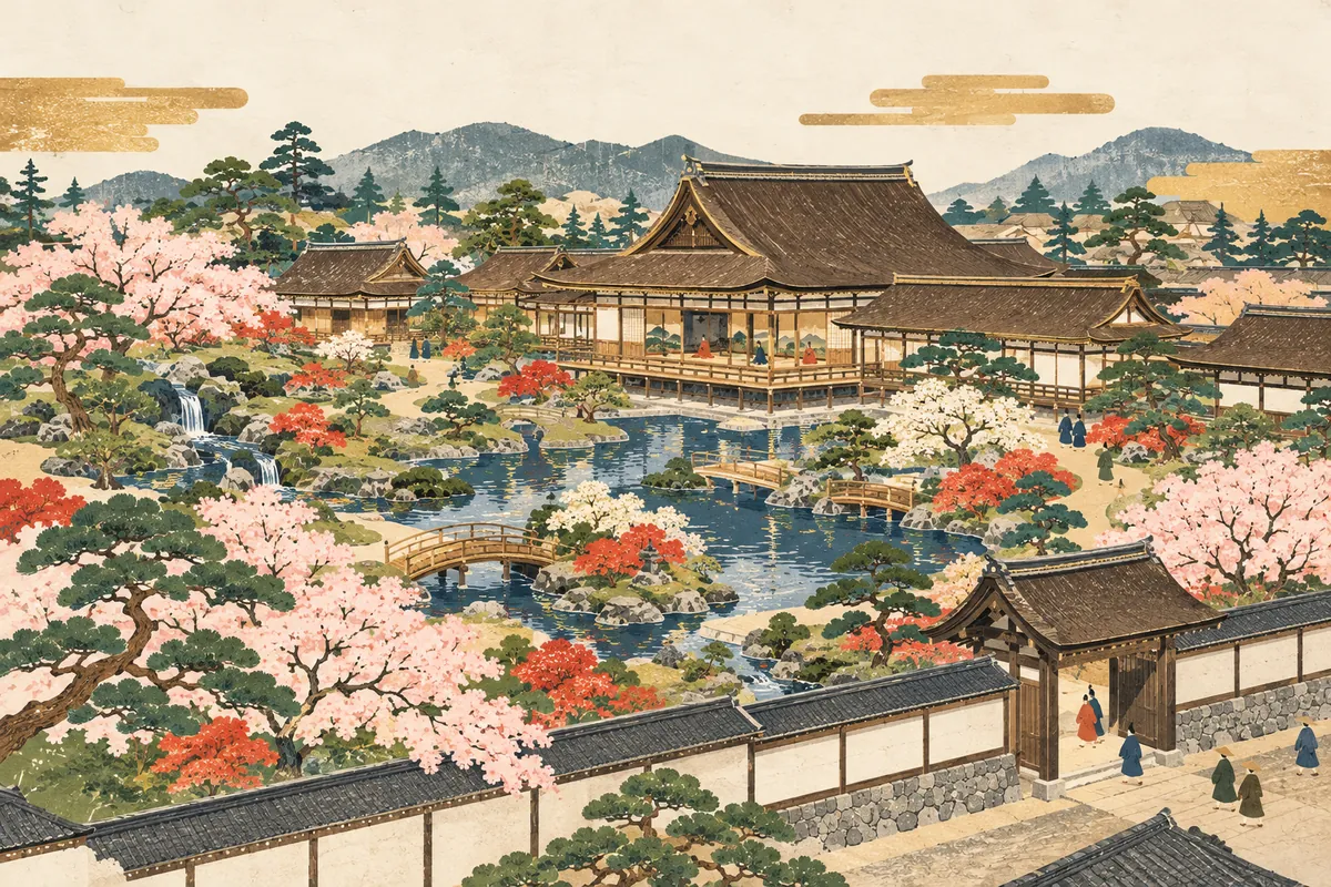
The Muromachi Shogunate and the Hana no Gosho
The Hana no Gosho (花の御所, "Palace of Flowers") was the name for the shogun's residence made up of Muromachi-dono (also called Muromachi-dai), completed in 1378 by Ashikaga Yoshimitsu, the third Muromachi shogun, at Kitakōji (today's Imadegawa-dōri) and Muromachi, together with the Hanatei to its north, where he moved the following year. It was named for its beautiful garden, which drew water from the Kamo River and was planted with many flowers, and the name "Muromachi shogunate" itself comes from Muromachi-dono. The site is in Kamigyō Ward, in the area bounded by Imadegawa-dōri, Kamidachiuri-dōri, Karasuma-dōri, and Muromachi-dōri.
Read more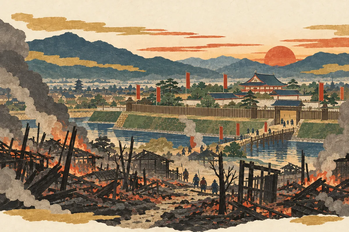
The Onin War and the Name Nishijin
The Ōnin–Bunmei War was a civil war that began in 1467 and lasted about 11 years until 1477, with Kyoto as its main battlefield. The Eastern Army built a fortified camp called the Okamae around the Hana no Gosho, and most of the town of Kamigyō burned. The name Nishijin ("Western Camp") comes from the Western Army, led by Yamana Sōzen, setting up camp around Horikawa-Kamidachiuri.
Read more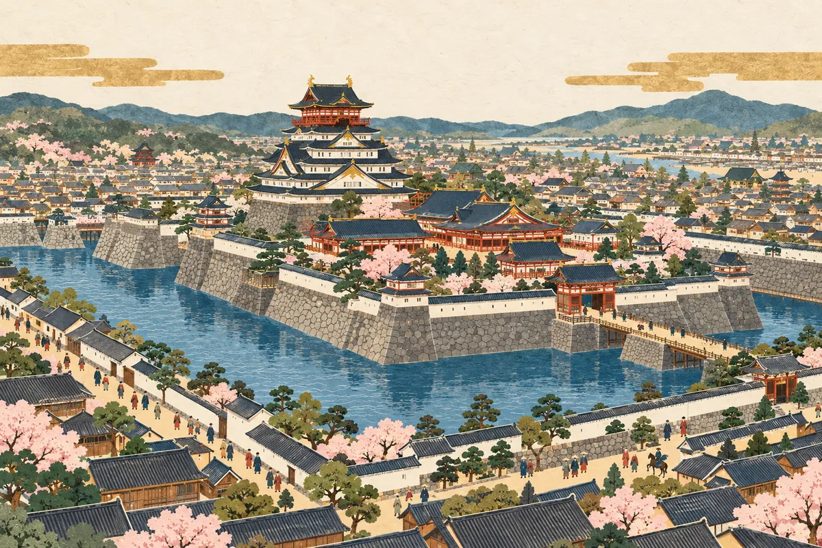
Toyotomi Hideyoshi's Remaking of Kyoto and the Jurakudai
Toyotomi Hideyoshi built the Jurakudai at Uchino, the former site of Heian-kyō's Daidairi (Greater Imperial Palace), and greatly remade the city of Kyoto by building the Odoi earthworks and the Great Buddha Hall in Higashiyama. The Jurakudai was completed in 1587 but demolished just eight years later; today its traces survive in town names such as Josui-chō and Ukita-chō and in the name jurakutsuchi (Juraku clay).
Read more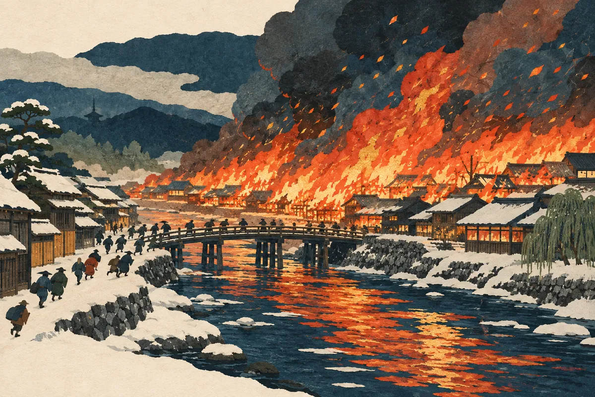
The Great Tenmei Fire and the Burning of Kyoto
The Great Tenmei Fire was the largest fire in Kyoto's history. It broke out early in the morning of the 30th day of the first month of 1788 (by the old lunar calendar) at Donguri-zushi, east of the Kamo River. Driven by an east wind, it crossed the Kamo River and burned almost all of the city of the time, from Kuramaguchi-dōri in the north to Shichijō-dōri in the south and Senbon-dōri in the west; about 37,000 houses burned and about 65,000 households lost their homes. The Imperial Palace, Nijō Castle, and both the Higashi and Nishi Hongan-ji temples also burned.
Read more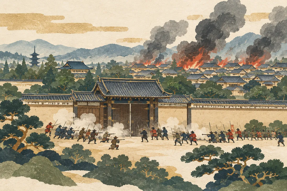
Kyoto in 1864: The Ikedaya Incident and the Kinmon Incident
In Kyoto in 1864 (Genji 1), the Ikedaya Incident on June 5 was followed on July 19 by the Kinmon Incident, in which the Chōshū domain fought the forces of Aizu, Satsuma, and the shogunate at the Hamaguri Gate and elsewhere around the Kyoto Imperial Palace. The Dondon-yake fire that spread from the fighting damaged about 800 neighborhoods and 27,000 households, from Marutamachi-dōri in the north to Shichijō-dōri in the south.
Read more