
DICTIONARY CATEGORY
Place Names & Readings
Pontocho, Akezu-dori, Uzumasa. Trace place names whose readings hide a piece of history.
47 entries47 entries
Place Names & Readings
Pontocho, Akezu-dori, Uzumasa. Trace place names whose readings hide a piece of history.
Hard-to-Read Place Names in Kyoto
This is a list of 50 hard-to-read place names in Kyoto, with readings, grouped into central street names, central town names, Rakuhoku (north), Rakusai (west), Higashiyama and Yamashina, Fushimi, and other municipalities in Kyoto Prefecture. From classics such as 先斗町 (Pontochō), 太秦 (Uzumasa), and 一口 (Imoarai) to town names like 天使突抜 (Tenshi-tsukinuke) and station names, each entry briefly notes the location and any origin that could be confirmed.
Read more
Pontocho
先斗町 is read Pontochō (ぽんとちょう). It is the name of a narrow street and kagai (geisha district) running about 490 m between the Kamo River and Kiyamachi-dōri, from one block south of Sanjō-dōri to Shijō-dōri. Some theories link it to the Portuguese word ponto ("point"), but why it is read this way is said to be unknown.
Read more
Akezudōri
不明門通 (also written 不明門通り) is read Akezudōri. It is sometimes read Akezu-no-mon-dōri, and the name is said to come from the fact that the gate of Inaba Yakushi (Inabadō Byōdō-ji), at the north end of the street, was always kept closed.
Read more
Uzumasa
太秦 is read Uzumasa (うずまさ). The place name is linked to the Hata clan, an immigrant clan that made this area its base in ancient times, and it is explained through a legend in the Nihon Shoki (Chronicles of Japan): the clan's chief presented silk piled high (uzutakaku) to the court and was granted the title Uzumasa (禹豆麻佐).
Read more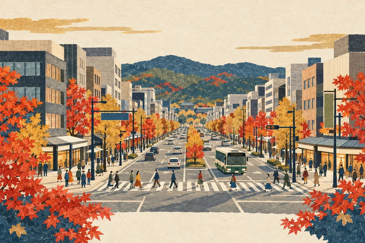
How to Read Karasuma-dori and Kawaramachi-dori
烏丸通 is read Karasuma-dōri and 河原町通 is read Kawaramachi-dōri. Both are major north–south streets in central Kyoto that often appear in subway and Hankyu station names, city bus stop names, and intersection names. Some town names, however, read the same characters as Karasumaru or Kawahara.
Read more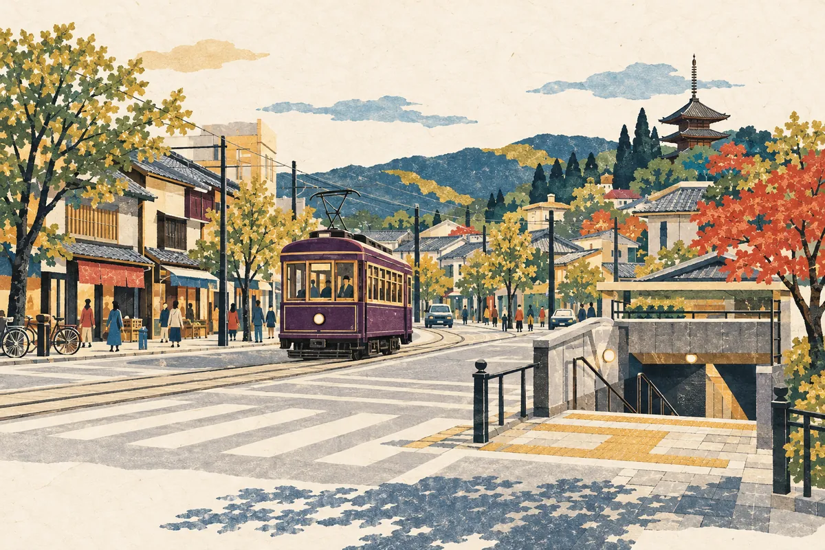
Is 西院 Read Sai or Saiin?
西院 is read Sai (さい) in the Randen station name and Saiin (さいいん) in the Hankyu station name. The town names in Ukyō Ward that begin with 西院 are all read Saiin, and as a place name Saiin is the usual reading. Only the Randen station keeps the reading Sai in its name.
Read more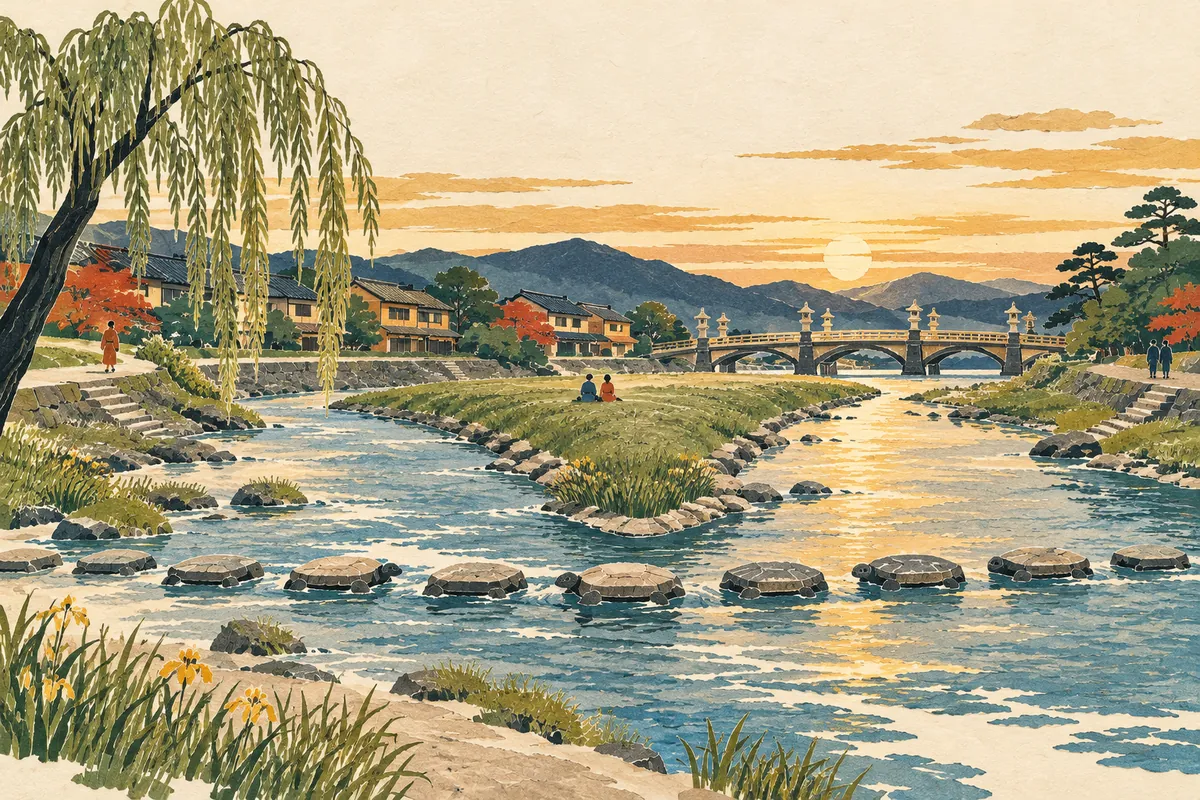
Where the Name Demachiyanagi Comes From
Demachiyanagi is a station name that combines Demachi, on the west bank of the Kamo River, with Yanagi-no-tsuji, on the east bank. It was created in 1925 (Taishō 14), when the predecessor of the Eizan Electric Railway opened its line between Demachiyanagi and Yase, as a name joining the place names on the two banks.
Read more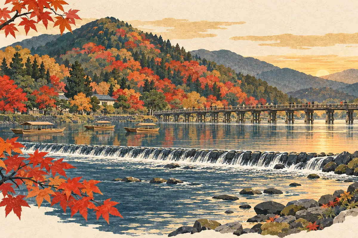
Where the Name Oi River Comes From
The Katsura River, which flows past Togetsukyō Bridge in Arashiyama, is also called the Ōi River (大堰川, Ōigawa). The name is said to come from the Kadono Ōi (葛野大堰), an irrigation weir said to have been built in ancient times by the Hata clan along this stretch of the river.
Read more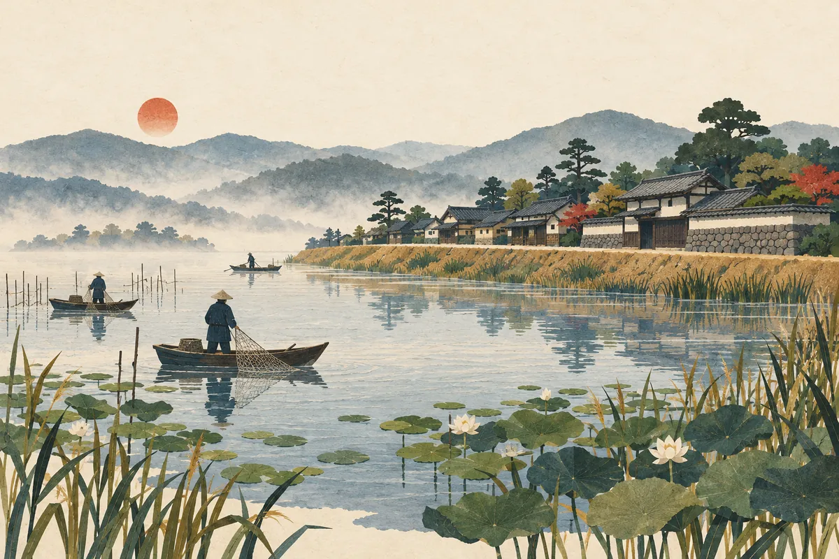
Imoarai
一口 is read Imoarai and survives as a place name in Higashi-imoarai and Nishi-imoarai in Kumiyama Town. Higashi-imoarai was a fishing settlement built on an embankment at the southwest of Ogura Pond (Oguraike), and the name is said to come from the pond's outlet to the Yodo River. However, there are several theories about why it is read Imoarai, and none is considered conclusive.
Read more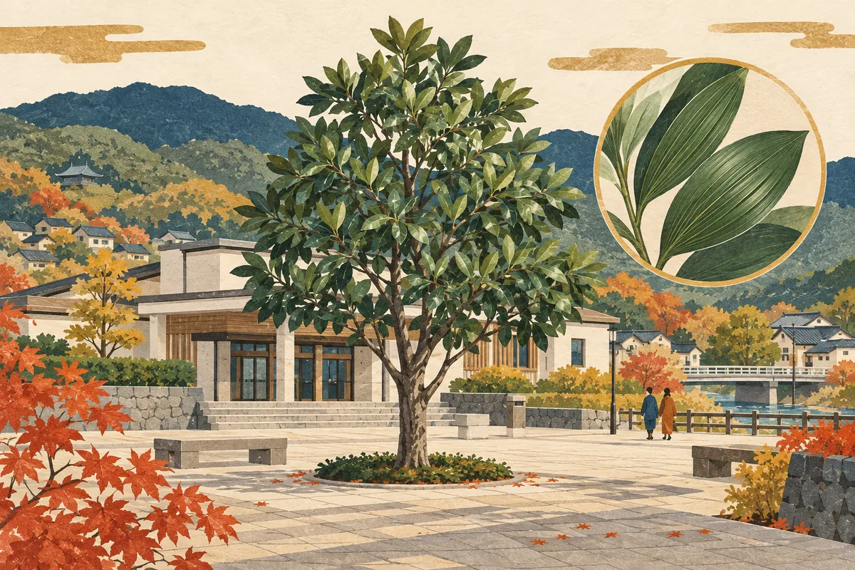
Nagitsuji
椥辻 is a place name in Yamashina Ward read Nagitsuji (なぎつじ). The name is said to come from a large nagi tree that once stood here. It is used for a station on the subway Tōzai Line and for 11 town names beginning with 椥辻, and a nagi tree also stands at the Yamashina Government Building, home to the ward office.
Read more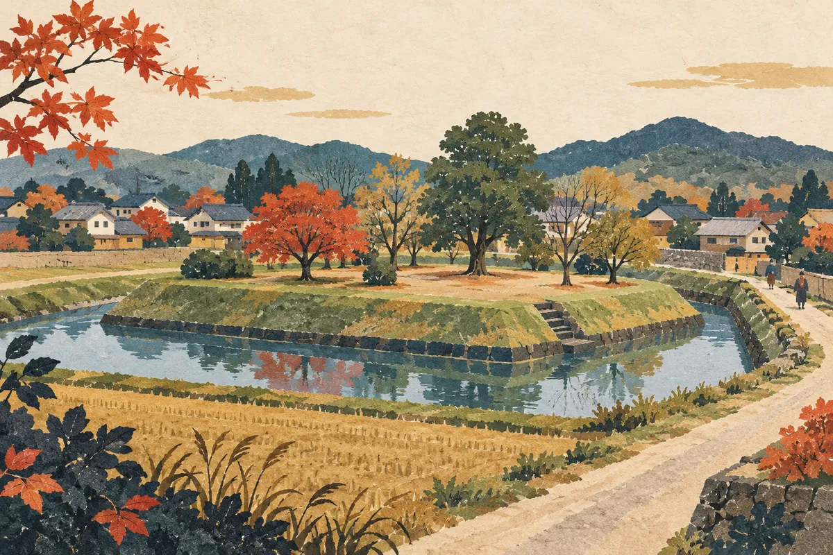
Mozume
物集女 is read Mozume (もずめ), a place name that survives in Mozume-chō in northern Mukō City. In medieval times the Mozume estate (Mozume-no-shō) was located here, and in the Muromachi and Sengoku periods the Mozume clan, based in this area, built a fortified residence. The Mozume Castle site was designated a National Historic Site in 2024, and the town also has the Mozume Kurumazuka Tumulus, whose stone burial chamber is open to the public.
Read more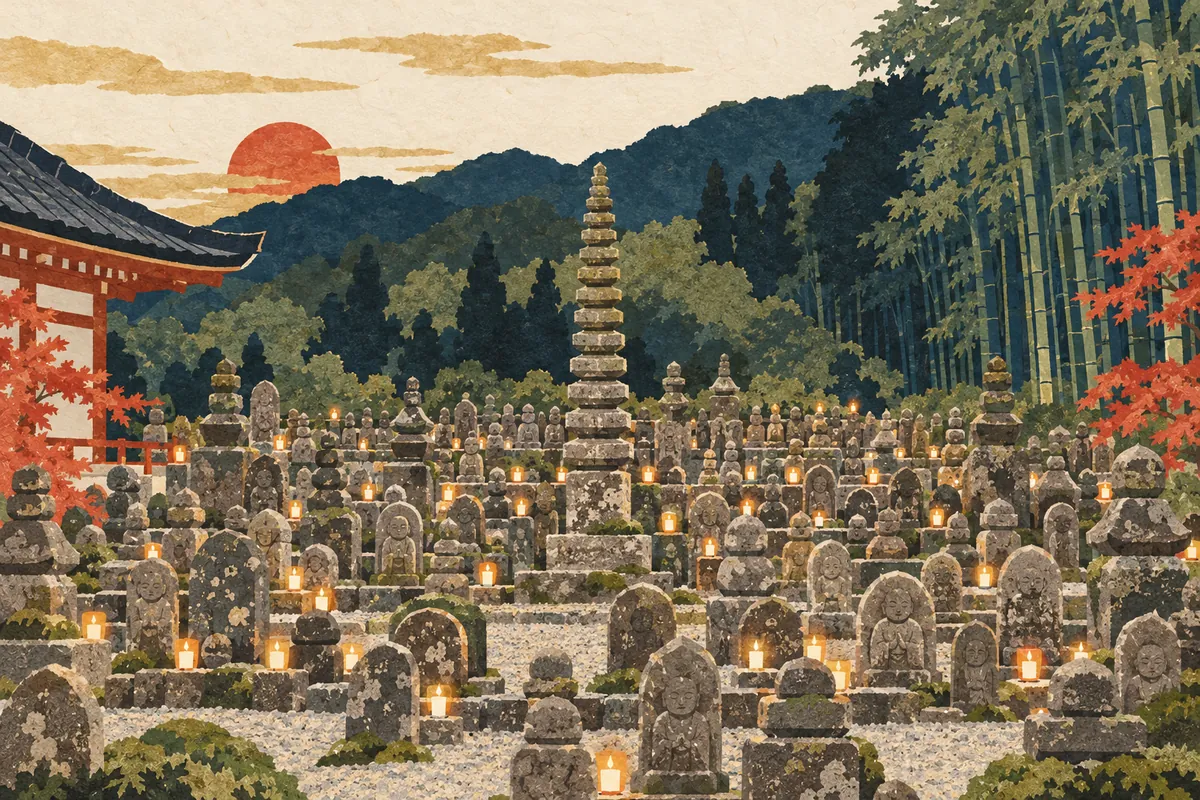
Adashino
化野 is read Adashino and is a place name in Saga-Toriimoto, Ukyō Ward. Since ancient times it has been known, along with Toribeno and Rendaino, as a burial ground, and in waka poetry the phrase "the dew of Adashino" has been used to express the impermanence of life. At Adashino Nenbutsu-ji Temple there is the "Sai no Kawara," where stone Buddhas and stone pagodas once buried in the surrounding hills and fields have been gathered.
Read more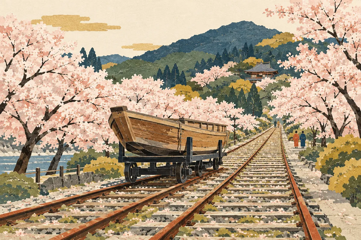
Keage
蹴上 is read Keage. It is an area name for the surrounding district that does not appear in any official address. It is said to come from Minamoto no Yoshitsune, on his way to Ōshū, cutting down a warrior who kicked up (keage) muddy water. Located on the old Tōkaidō road, it was the eastern gateway to the capital, and today the name lives on in a subway station, the incline, a power station, and a water treatment plant.
Read more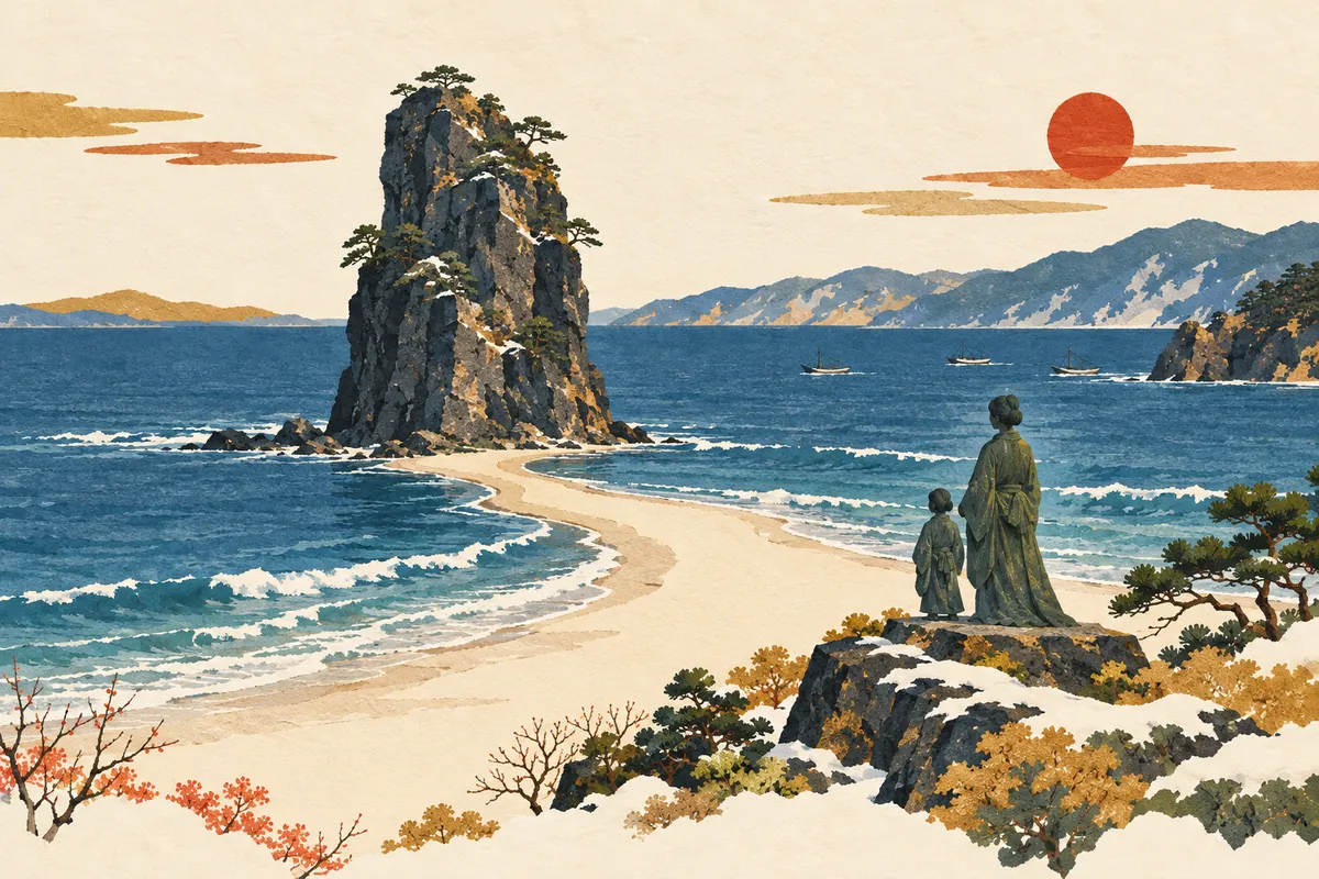
Taiza
間人, read Taiza (たいざ), is a place name in Tango-chō, Kyōtango City, facing the Sea of Japan. According to tradition, Empress Anahobe no Hashihito, mother of Prince Shōtoku, took refuge here to escape the conflict between the Soga and Mononobe clans, and the name came to be read taiza after her go-taiza (御退座, departure) when she left. A statue of the empress and the prince as mother and child still stands by the sea, and Taiza is a fishing town known for Taiza crab and its kenka yatai ("fighting floats").
Read more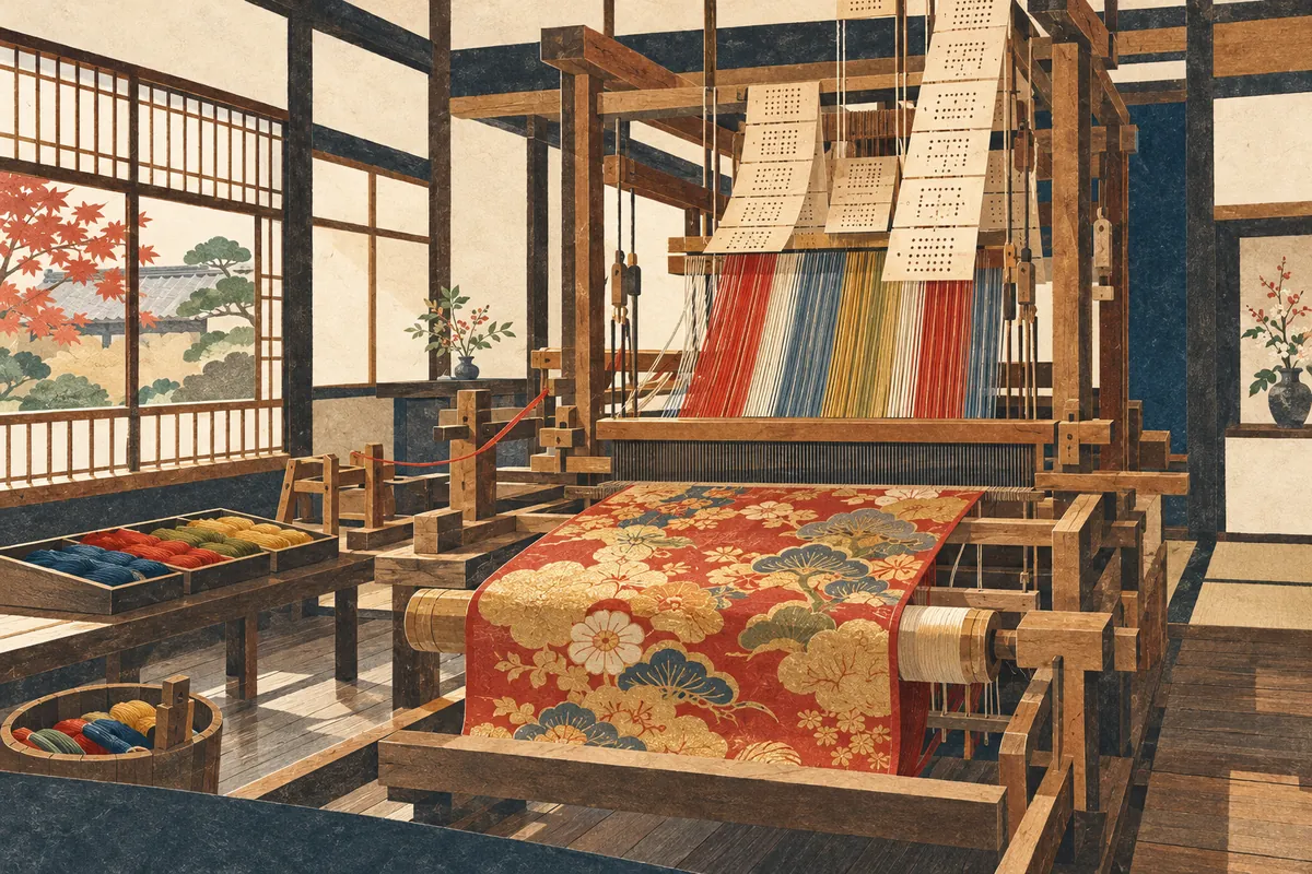
Nishijin
Nishijin (西陣) is the name of an area spanning Kamigyō and Kita wards in Kyoto City and the birthplace of Nishijin-ori textiles. It came to be called Nishijin ("Western Camp") because Yamana Sōzen's Western Army set up camp here during the Ōnin War. There is no administrative district called Nishijin, and the area it refers to differs by context: historic Nishijin, the Nishijin gakku (a former school district), and the Nishijin district as the production area of Nishijin-ori.
Read more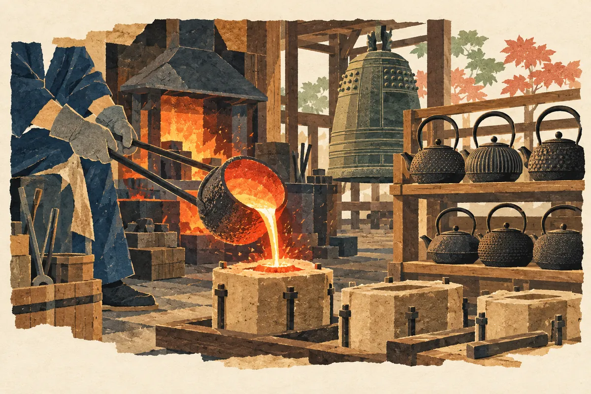
Kamanza-dori
釜座通, read Kamanza-dōri, is a north–south street in central Kyoto. Its name is said to come from the Sanjō Kamanza, a guild that cast temple bells and tea kettles. It runs between Nishinotōin-dōri and Shinmachi-dōri and is considered one of the streets opened through the middle of the city blocks in Toyotomi Hideyoshi's rebuilding of the city.
Read more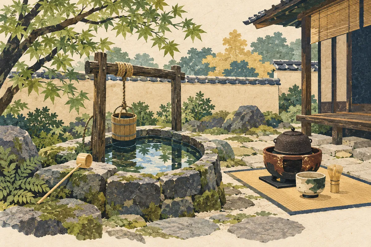
Samegai-dori
醒ケ井通, read Samegai-dōri (さめがいどおり), is a north–south street in Shimogyō Ward that runs just east of Horikawa-dōri. Its name is said to come from the Samegai (佐女牛井), a well known for having the finest water in the land. The well disappeared when Horikawa-dōri was widened, but a stone monument marking the site and the town name Samegai-chō (佐女牛井町) remain.
Read more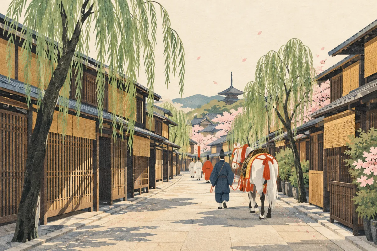
Yanaginobamba-dori
柳馬場通, read Yanaginobamba-dōri (やなぎのばんばどおり), is a north–south street in central Kyoto that runs between Tominokōji-dōri and Sakaimachi-dōri. There are two theories about its name: that it comes from Nijō Yanagimachi, a pleasure quarter lined with willows (yanagi), or that willows were planted for a horse parade at the Hōkoku Festival. Nijō Yanagimachi is regarded as the beginning of the later Shimabara pleasure quarter.
Read more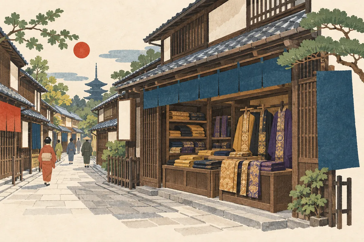
Koromo-no-tana-dōri
衣棚通 is a north–south street in central Kyoto, read Koromo-no-tana-dōri or Koromotana-dōri. The name is said to come from the many shops in the area that sold monks' robes and similar garments from shelves (tana). It is said to be one of the streets opened during Toyotomi Hideyoshi's reshaping of the city, and it runs between Shinmachi-dōri and Muromachi-dōri.
Read more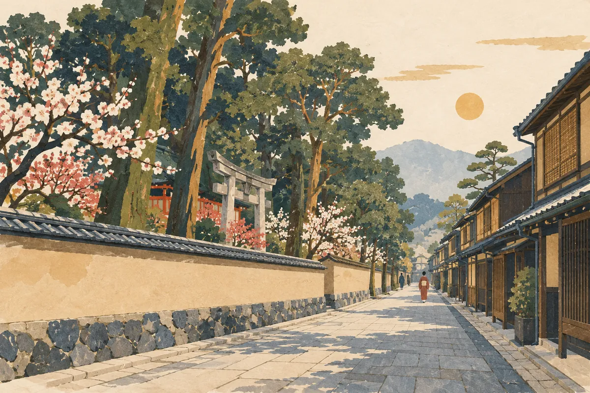
Onmae-dori
御前通 is a north–south street read Onmae-dōri (おんまえどおり), running about 7.2 km from Kitaōji-dōri in the north to beyond Kujō-dōri in the south. Its name is said to come from passing in front of (to the east of) Kitano Tenmangū. In Heian-kyō it corresponded to Nishi-Ōmiya Ōji, the avenue marking the western edge of the Greater Imperial Palace, and the "御前" that appears in the street-name song is a different road, Honganji's Onmae-dōri.
Read more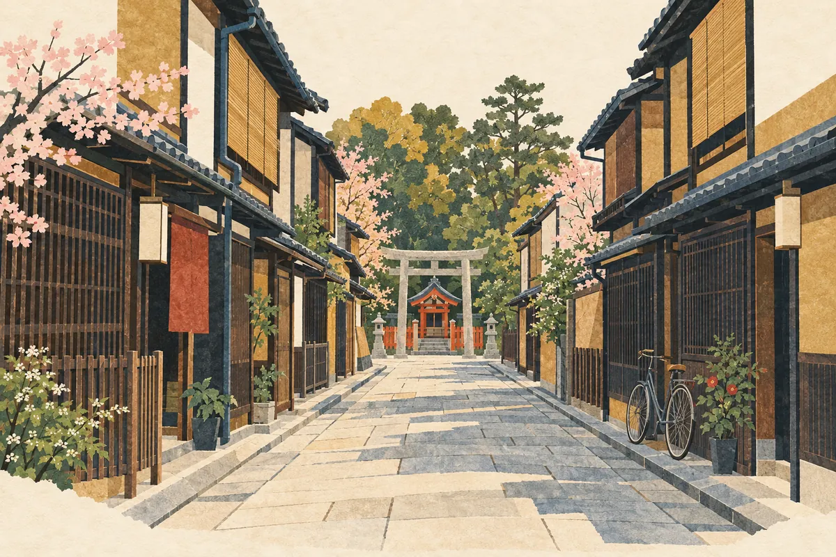
Tenshitsukinuke
天使突抜, read Tenshitsukinuke (てんしつきぬけ), is a town name in Shimogyō Ward, with 1-chōme to 4-chōme on both sides of Higashinakasuji-dōri. "Tenshi" refers to Gojō Tenjin Shrine, known as Tenshi no Miya, and the name is said to come from a north–south road that was driven straight through (tsukinuke) the shrine grounds during Toyotomi Hideyoshi's remodeling of Kyoto around 1590 (Tenshō 18).
Read more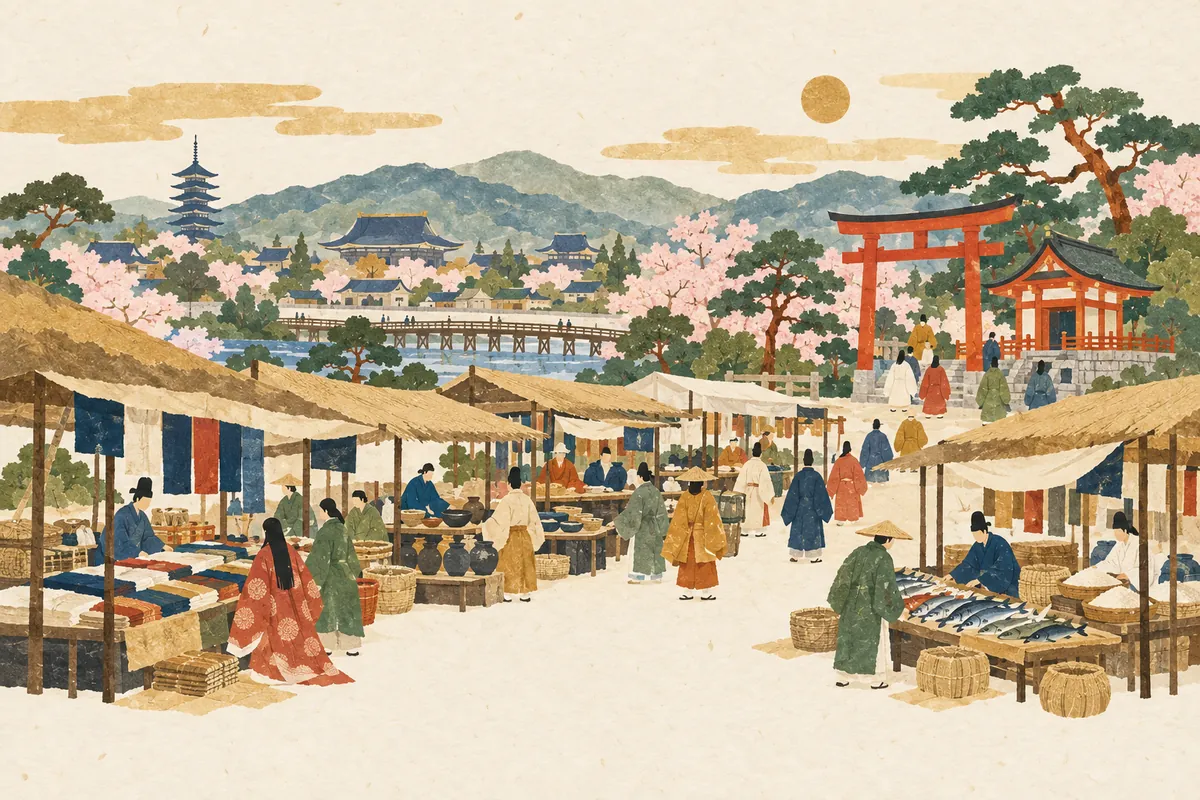
Toichi-cho
都市町, read Toichi-chō (といちちょう), is a town name in Shimogyō Ward, southwest of Gojō Ōhashi Bridge. The name is said to come from the otabisho (resting place for the deity during festivals) of Ichihime Shrine, the guardian deity of the Eastern and Western Markets opened the year after the capital moved to Heian-kyō. Both its reading and its meaning differ from the ordinary word 都市, read toshi.
Read more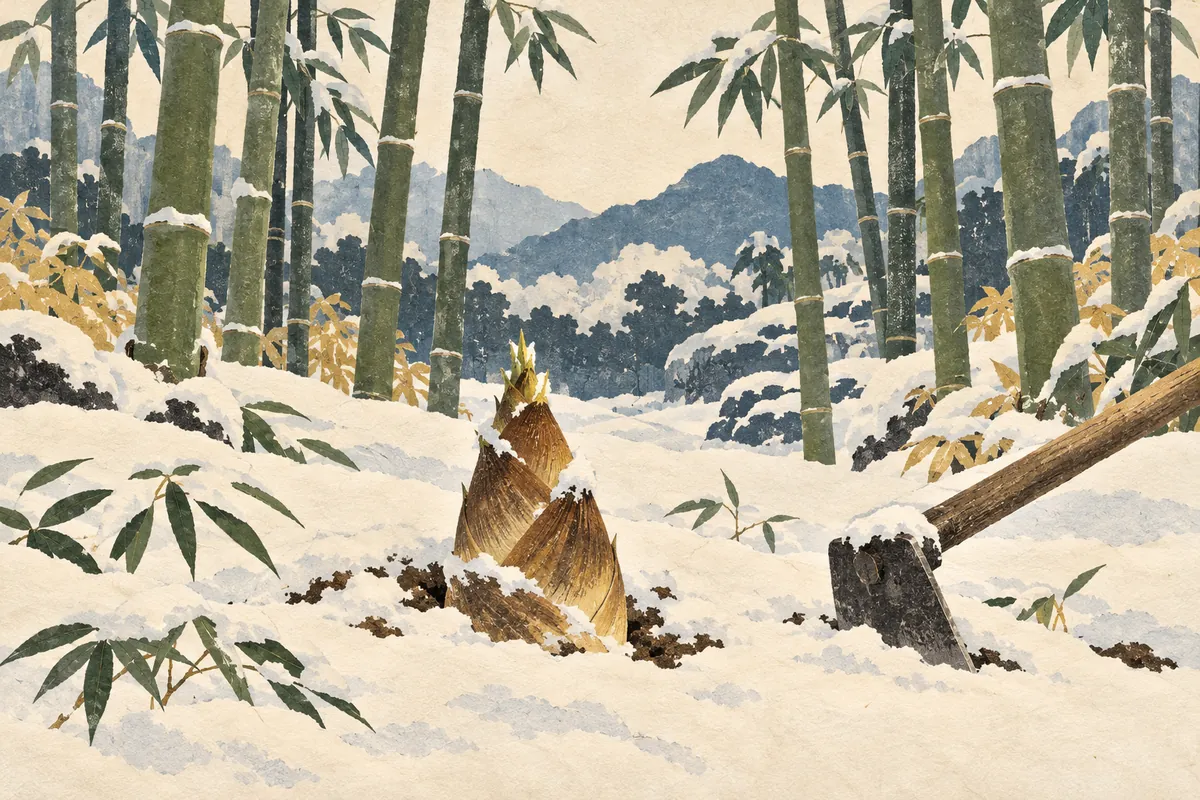
Takanna-cho
笋町, read Takanna-chō (たかんなちょう), is a town name in Nakagyō Ward. Takanna (笋) is an old word for bamboo shoot, and this town north of Shijō-Karasuma is the one that puts out the Mōsō-yama float in the Gion Festival. Mōsō-yama depicts the tale of Mōsō (Meng Zong), who dug up a bamboo shoot in the snow for his sick mother.
Read more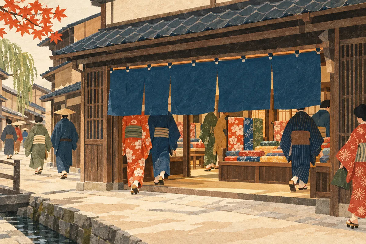
Mukadeya-cho
百足屋町 is a town name in Nakagyō Ward read Mukadeya-chō (むかでやちょう). It is said to come from Mukadeya, a wealthy merchant house that took its name from the centipede (mukade), whose many legs were likened to many customers—a lucky sign. Nakagyō Ward has two towns called Mukadeya-chō: one at Ebisugawa-dōri and Sakaimachi, and one at Shinmachi-dōri Takoyakushi-sagaru.
Read more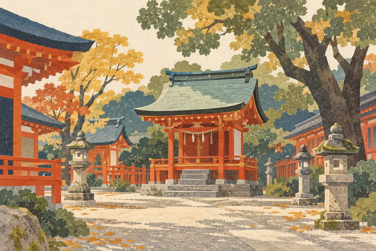
Akuōji-chō
Akuōji-chō is a town name in Shimogyō Ward, read あくおおじちょう (Akuōji-chō) as a town name. Akuōji means "powerful," and the name is said to come from the Akuōji Shrine, which enshrined the fierce spirit (aramitama) of Susanoo-no-Mikoto. The shrine moved from southeast of Shijō-Karasuma to north of Gojō-Karasuma, and it now stands in the grounds of Yasaka Shrine.
Read more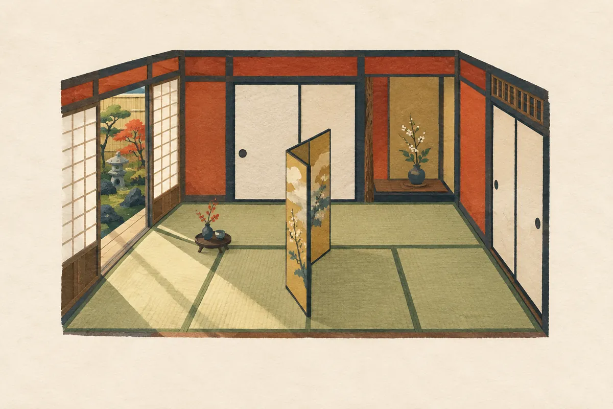
Nijohanjiki-cho
二帖半敷町 is a town name in Shimogyō Ward, south of Shijō-Karasuma, read Nijōhanjiki-chō (にじょうはんじきちょう); it is also the address of Shijō Station on the subway. There are two theories about its origin: that a head priest divided Gojō-ji temple in half between two disciples, or that two brothers split a five-mat house. Both agree on one point: "five, split in half, makes two and a half mats."
Read more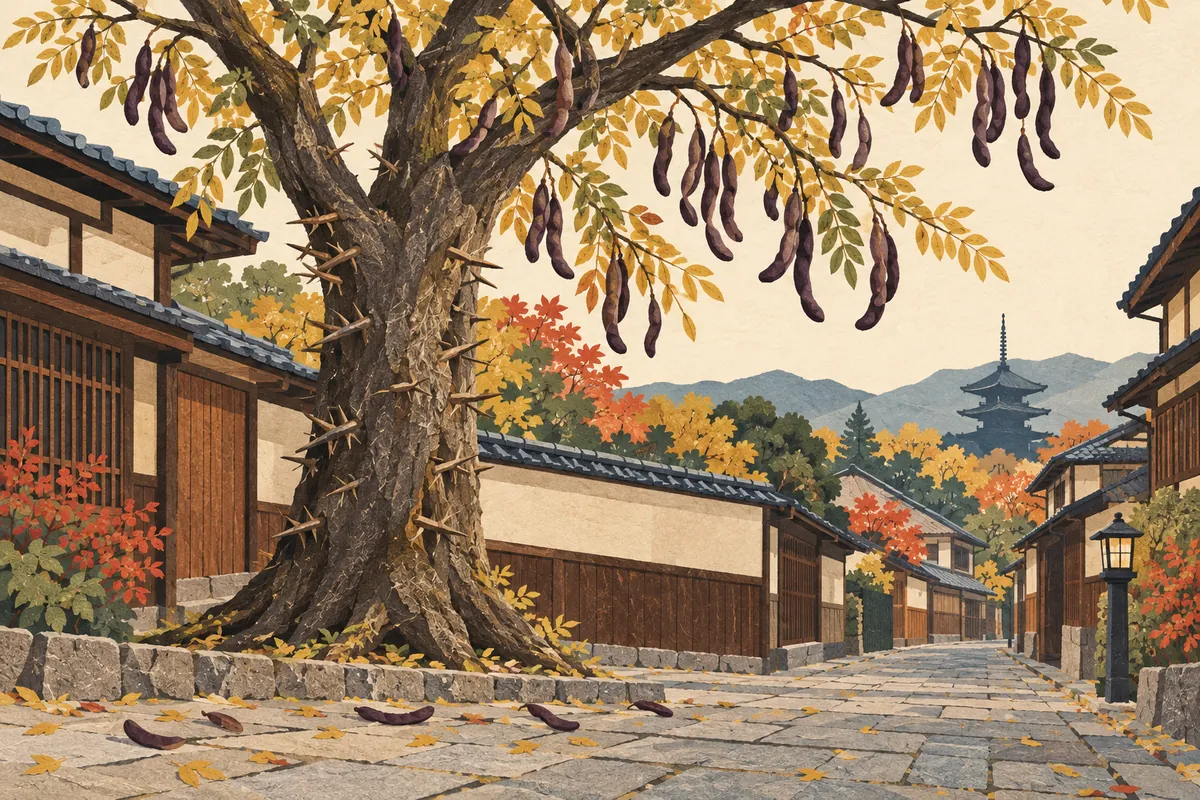
Saikachi-cho
皂莢町, read Saikachi-chō (さいかちちょう), is a town in Kamigyō Ward. The name is said to come from a large saikachi tree that once stood there. The saikachi (Japanese honey locust) is a tree of the pea family with a thorny trunk and long, twisted pods, which were used for washing clothes. It has become rare in Kyoto Prefecture and is listed by the prefecture as near threatened.
Read more
Midorogaike
深泥池 is a pond in Kamigamo, Kita Ward, read both Midorogaike (みどろがいけ) and Mizorogaike (みぞろがいけ). The name is said to come from the several meters of mud (doro) deposited on the bottom of the pond. The surrounding town name, 上賀茂深泥池町, is read Kamigamo Midoroike-chō (かみがもみどろいけちょう), without the "ga" (が).
Read more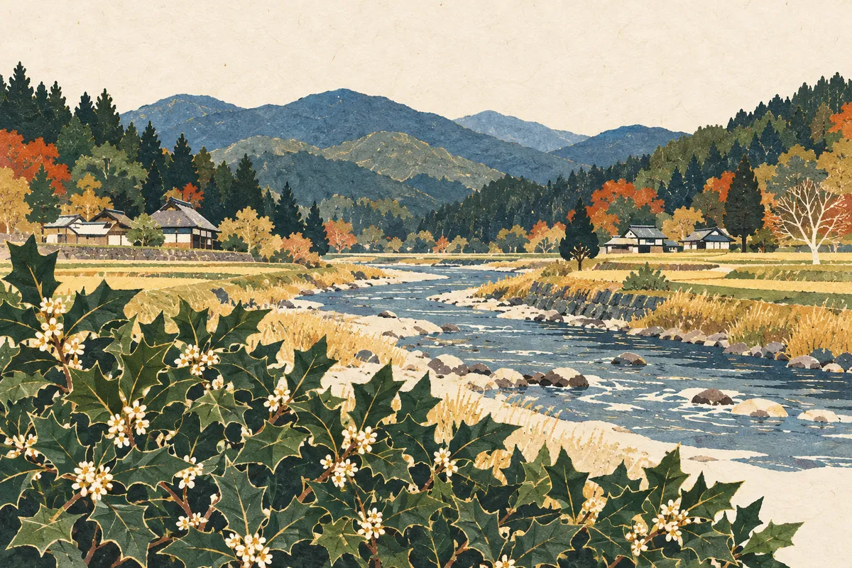
Hiragino
柊野, read Hiragino, is an area name in Kita Ward, spreading along both banks of the Kamo River north of Kamigamo Shrine. The name is said to come from holly (hiiragi) that once grew thickly all over the area. There is no town in the official address system called Hiragino; the name survives in the names of a school district, an elementary school, a dam, and a bus stop.
Read more
Kirarazaka
雲母坂, read Kirarazaka, is a mountain path that climbs from Shūgakuin in Sakyō Ward to Mount Hiei. Its name is said to come from the mica (unmo, 雲母) contained in the granite sand and soil. As the shortest route from Kyoto to Enryaku-ji, it is an old road climbed by monks and imperial envoys.
Read more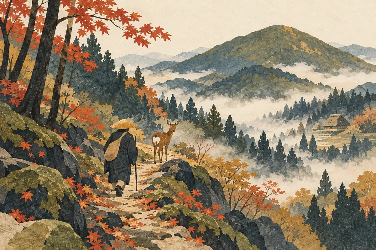
Shishigatani
鹿ケ谷, read Shishigatani (ししがたに), is an area of Sakyō Ward spreading across the western foot of Nyoigatake. Its name is said to come from a legend that when Chishō Daishi (Enchin) visited, a single deer appeared and showed him the way. The name survives today in 18 town names, such as Shishigatani Hōnen'in-chō.
Read more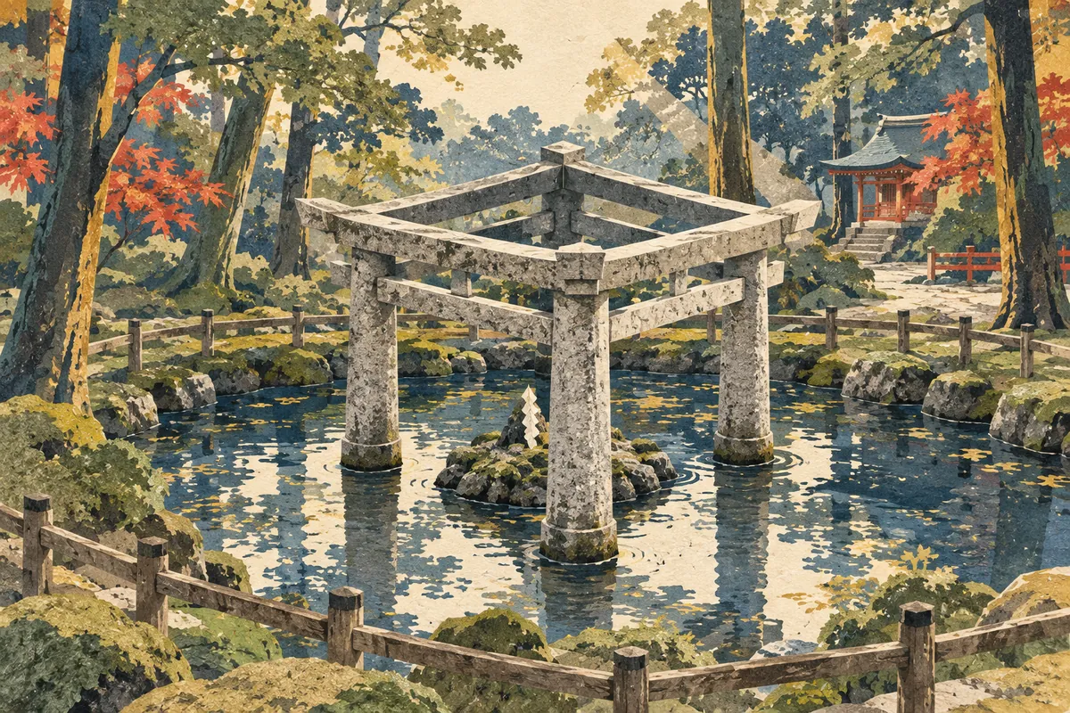
Kaiko-no-yashiro
蚕ノ社 is read Kaiko-no-yashiro ("silkworm shrine"). It is the popular name of Konoshima-ni-imasu-amaterumitama Shrine in Uzumasa, Ukyō Ward, and is also a Randen station name. The name is said to come from the Kokai Shrine (養蚕神社) in its grounds, which enshrines the silkworm. It is an ancient shrine regarded as the clan shrine of the Hata clan, who excelled at sericulture and weaving, and it is also known for its Mihashira Torii, which combines three torii gates.
Read more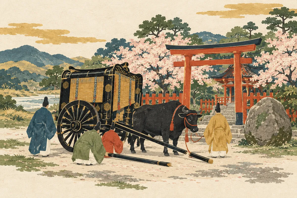
Kurumazaki Jinja
車折神社 is a shrine in Saga, Ukyō Ward, read Kurumazaki Jinja (くるまざきじんじゃ), and its name is also used for a Randen station and a bus stop. Tradition says that when Emperor Go-Saga was on his way to the Ōi River, the shafts of his ox carriage broke in front of the shrine; he granted it the divine title Kurumazaki Daimyōjin, and it has been called Kurumazaki Jinja ever since.
Read more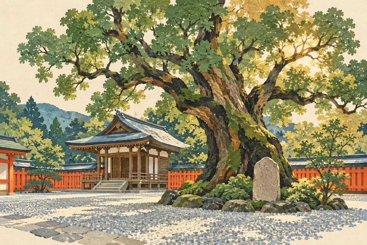
Imagumano
今熊野 is an area name in Higashiyama Ward, read with a voiced g as Imagumano in town names such as Imagumano-Ikeda-chō. The name of the Imagumano school district is said to come from Imakumano Shrine (新熊野神社), founded in 1160 (Eiryaku 1) by Retired Emperor Go-Shirakawa, who invited the deity of Kumano in Kii Province.
Read more
Kanshuji / Kajuji
勧修寺 is a name read two ways: the temple in Yamashina Ward is Kajūji, while the surrounding town names, such as Kanshūji-Niōdō-chō, are Kanshūji. Tradition says Emperor Daigo founded the temple in 900 (Shōtai 3) at the wish of his birth mother and named it after the posthumous title of his grandfather, Fujiwara no Takafuji.
Read more
Chūshojima
Chūshojima (中書島) is a place name in Fushimi Ward, also the name of a station on the Keihan Main Line and Uji Line. In the days of the Fushimi Castle town, Wakisaka Yasuharu, who held the title Nakatsukasa-no-taifu, had his residence here, and chūsho (中書), the Chinese-style name for the office of Nakatsukasa, is said to have become fixed as the place name. It was originally an island separated by the Uji River and corresponds to present-day Higashi-Yanagi-chō and Nishi-Yanagi-chō.
Read more
Sumizome
墨染, read Sumizome (すみぞめ), is a place name in Fushimi Ward used for Sumizome Station on the Keihan Main Line and for the town names Sumizome-chō and Fukakusa Sumizome-chō. The place name is said to come from the legend of Bokusen-ji (墨染寺), in which cherry blossoms bloomed in the ink-gray color of mourning after a poet offered a poem grieving the death of Fujiwara no Mototsune.
Read more
Shumoku-machi
撞木町 is a town name in Fushimi Ward, read Shumoku-machi (しゅもくまち) as a town name. The name is said to have arisen because the pleasure quarter opened here in 1604 (Keichō 9) was shaped like a shumoku, the T-shaped striker used to ring a bell, and this is also carved on a monument erected in 1918 (Taishō 7).
Read more
Noso
納所 is an area name in Fushimi Ward read Nōso (のうそ), and it survives in 12 town names such as Nōso Izumiya and Nōso Kitashirobori. Nōso means "a place where goods are delivered," and it is said to have arisen as a place to temporarily store goods being transshipped up the Yodo River to the capital. From the Muromachi period to Hideyoshi's time, the old Yodo Castle stood here.
Read more
Hazukashi
Hazukashi (羽束師) is an area name in Fushimi Ward, preserved in town names such as Hazukashi-Shimizu-chō and Hazukashi-Hishikawa-chō. The name goes back to the ancient Hatsukashi district of Otokuni County, and theories of its origin include one linking it to the Haji clan, one linking it to the hatsukashibe (泥部), who handled earthwork and building, and one tying it to arrow-making. At the heart of the area is Hazukashi Shrine, recorded as "Hatsukashi no Kami" (波都賀志神) in the Shoku Nihongi.
Read more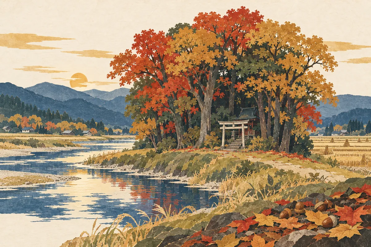
Hosono
祝園 is read Hōsono and is a place name in Seika Town, Sōraku District. It was anciently called Hafurisono (波布理曽能, 羽振苑), and it appears in the legend of Takehaniyasuhiko (武埴安彦) in the Kojiki and Nihon Shoki. Hōsono Shrine preserves the Igomori Festival, linked to that legend and designated an intangible folk cultural property of Kyoto Prefecture.
Read more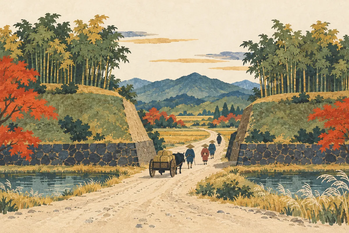
Kyō no Nanakuchi (Seven Entrances to Kyoto)
Kyō no Nanakuchi ("the Seven Entrances to Kyoto") is a collective name for the points where the highways linking Kyoto with other regions entered the city. They are said to have become known as the openings in the Odoi, the earthen wall Toyotomi Hideyoshi built in 1591, but the number and the names of the entrances differ by period and by source, and "seven" does not mean exactly seven.
Read more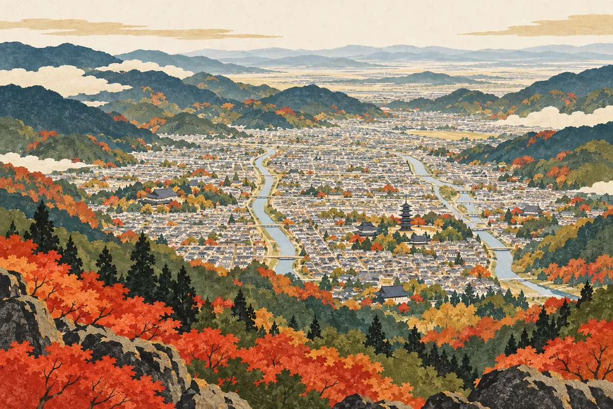
The Kyoto Basin and Its Density of Cultural Properties
The Kyoto Basin is enclosed by Mount Hiei and the Higashiyama range to the east and by Mount Atago and the Kitayama range to the west and north, and it opens to the south. Kyoto's urban area developed mainly within this basin, with the Kamo and Katsura rivers flowing through it from north to south. The city stretches about 49.5 km from north to south and covers 827.83 km², and it holds about 20% of Japan's National Treasures.
Read more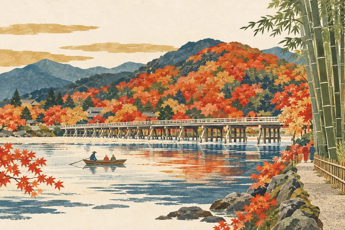
Arashiyama: Togetsukyō, the Bamboo Grove, and the River's Names
The scenery of Arashiyama is shaped not only by Togetsukyō Bridge and the bamboo grove, but also by a single river whose name changes from place to place: the Hozu, the Ōi, and the Katsura.
Read more
The Kamo River Confluence: 鴨川, 賀茂川, and the Takano River
Kyoto's Kamo River (鴨川) meets the Takano River near Demachiyanagi. Upstream, it is also written 賀茂川 (also read Kamogawa), and its tributary the Shirakawa rises on Mount Hiei and flows through Gion.
Read more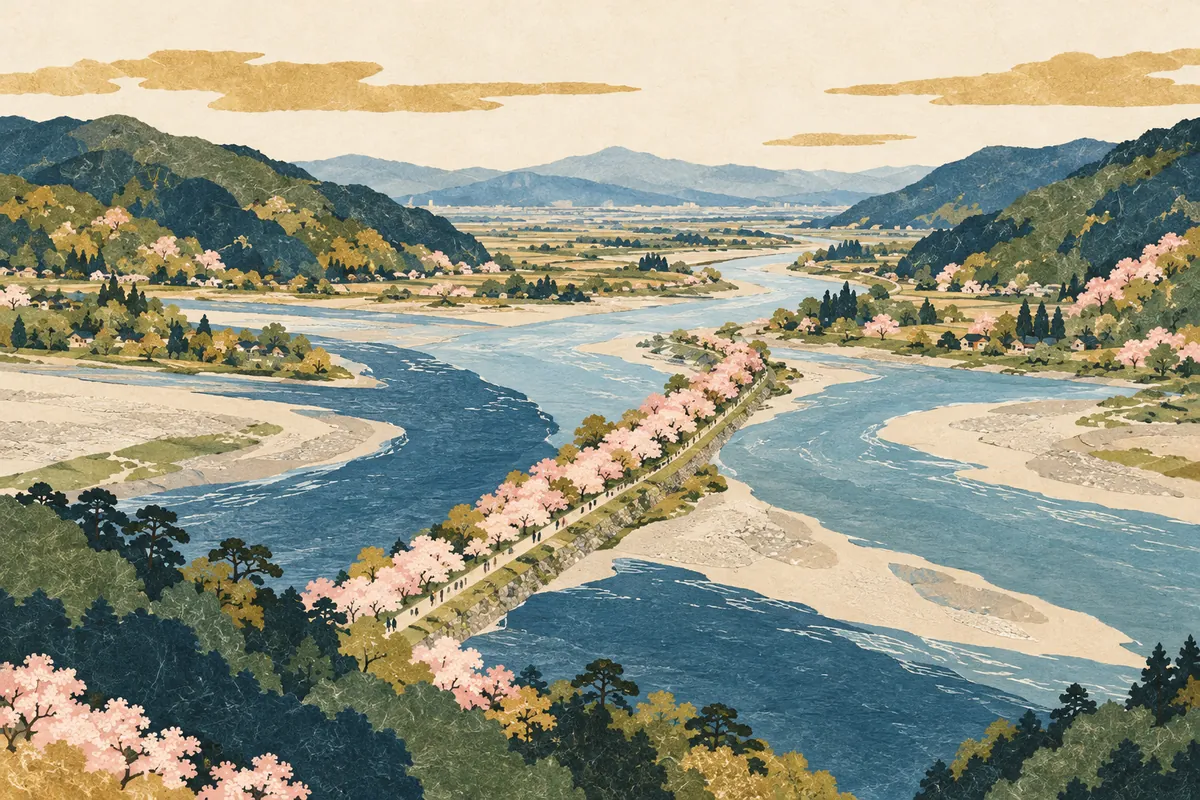
The Waterway from the Seta River to the Uji and Yodo Rivers
Water flowing out of Lake Biwa changes its name to the Seta River and then the Uji River, and near the border between Kyoto and Osaka prefectures it joins the Katsura and Kizu rivers to become the Yodo River. Under the River Act, the Seta and Uji rivers are also treated as part of the "Yodo River," and the different names reflect the land and history of the basin.
Read more
How to Read Misasagi and Katabiranotsuji
御陵 in Yamashina Ward is read Misasagi (みささぎ), and 帷子ノ辻 on the Randen tram line is read Katabiranotsuji (かたびらのつじ). Both appear every day as station names, yet both are hard to read at first sight.
Read more