
Japanese中書島(ちゅうしょじま)
Chūshojima
Other spellings and namesChūshojima Station (中書島駅) / Wakisaka Nakatsukasa-no-taifu / Shima no Benten-san (中書島の弁天さん)
In short
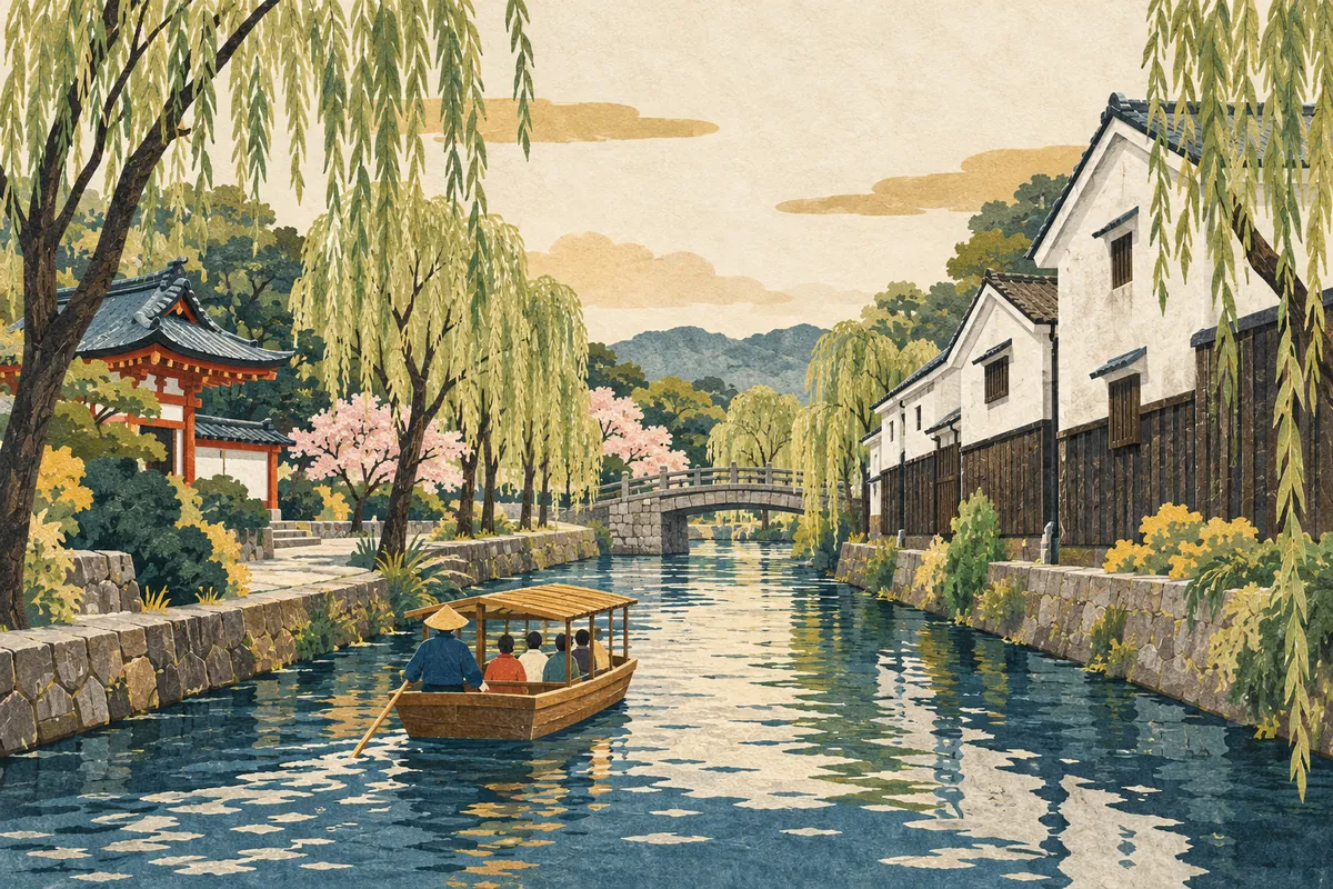
Chūshojima (中書島) is a place name in Fushimi Ward, also the name of a station on the Keihan Main Line and Uji Line. In the days of the Fushimi Castle town, Wakisaka Yasuharu, who held the title Nakatsukasa-no-taifu, had his residence here, and chūsho (中書), the Chinese-style name for the office of Nakatsukasa, is said to have become fixed as the place name. It was originally an island separated by the Uji River and corresponds to present-day Higashi-Yanagi-chō and Nishi-Yanagi-chō.Key points in 30 seconds
Read Chūshojima (ちゅうしょじま); also the name of the station (KH28) where the Keihan Main Line and Uji Line divide
Chūsho is said to be the Chinese-style title for the office of Nakatsukasa, and the name is said to come from Wakisaka Yasuharu's residence
Originally an island separated by the Uji River; a popular name for present-day Higashi-Yanagi-chō and Nishi-Yanagi-chō
In the Edo period it was a key port for sanjukkoku-bune riverboats and also thrived as a kagai (pleasure quarter)
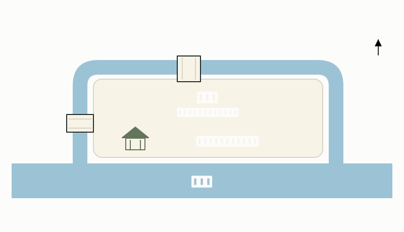
An "island" surrounded by the Uji River
Chūshojima is a popular name for the area corresponding to present-day Higashi-Yanagi-chō and Nishi-Yanagi-chō, and as its name (jima/shima, "island") suggests, it was originally an island separated by the Uji River. Chūshojima is not an official town name today; it survives as a popular name in the station name and elsewhere.
It was Takebe Masanoki (建部政宇), the Fushimi magistrate (Fushimi bugyō), who developed the marshland of Chūshojima, and during his term he built Hōrai Bridge to the north and Imatomi Bridge to the west. Chōken-ji Temple, too, was built after Masanoki developed Chūshojima in 1698 (Genroku 11).
Chūshojima was an "island" surrounded by rivers
The "chūsho" of Wakisaka Nakatsukasa-no-taifu
The name Chūshojima is said to come from the fact that, in the days of the Fushimi Castle town, Wakisaka Yasuharu (脇坂中務大輔安治, Wakisaka Nakatsukasa-no-taifu Yasuharu) had his residence here, and chūsho, the Chinese-style name (karana) for his office of Nakatsukasa-no-taifu, became fixed as the place name.
Because of the custom of calling court offices by Chinese-style names, the office of Nakatsukasa was called chūsho (中書), which led to a place name using the Sino-Japanese reading chūsho. However, this origin is only a traditional account.
Chūshojima, bustling with its port and kagai
In the Edo period, Chūshojima was a key point for the sanjukkoku-bune boats that plied the Yodo River and for boats traveling the Uji River branch channel (Ujigawa Haryū). In 1910 (Meiji 43), Chūshojima Station opened at the same time as the Keihan Electric Railway began operating, and in 1913 (Taishō 2) it also became the starting station of the Uji Line. In 1914 (Taishō 3), the Kyoto City Tram was extended to Chūshojima Station, and the area thrived all the more as the southern gateway to Fushimi.
Chūshojima was also a kagai (pleasure quarter) from the Edo period. After the station opened, development north of the station advanced, and in the Shōwa period the road linking the station area with the Chūshojima kagai became a busy entertainment street lit with neon signs.
Where can you see it today? Station, town names, and school district
Chūshojima Station (KH28) serves the Keihan Main Line and Uji Line; on the Main Line it lies between Yodo and Fushimi-Momoyama, and the next station on the Uji Line is Kangetsukyō. The station's address is 59 Yoshijima-Yagura-chō, Fushimi Ward, a different town name from Higashi-Yanagi-chō and Nishi-Yanagi-chō, which correspond to Chūshojima. The station name Chūshojima carries on the area's popular name.
Tracing the station's history, its platforms were lengthened in 1953 (Shōwa 28) and 1957 (Shōwa 32); express trains began stopping there during the morning rush hour in January 1993 (Heisei 5) and all day from July 2000 (Heisei 12). In 2004 (Heisei 16), a south ticket gate and a bus terminal were built, and the station came to be expected to serve as a transport hub for southern Fushimi. Buses to Higashi-imoarai (東一口) in Kumiyama Town also leave from this station.
Higashi-Yanagi-chō (ひがしやなぎちょう) and Nishi-Yanagi-chō (にしやなぎちょう) are both in the attendance zones of Fushimi Minamihama Elementary School and Tōryō Junior High School. When looking for Chūshojima on a map or in an address, you search by these two town names, not by the popular name Chūshojima.
Place names and facilities related to Chūshojima
| Name | Reading | What it is |
|---|---|---|
| 東柳町 Higashi-Yanagi-chō | ひがしやなぎちょう | One of the towns that make up Chūshojima (Fushimi Minamihama Elementary and Tōryō Junior High attendance zones) |
| 西柳町 Nishi-Yanagi-chō | にしやなぎちょう | One of the towns that make up Chūshojima (Fushimi Minamihama Elementary and Tōryō Junior High attendance zones) |
| 中書島駅 Chūshojima Station | ちゅうしょじま | Station on the Keihan Main Line and Uji Line (KH28), located in Yoshijima-Yagura-chō |
| 長建寺 Chōken-ji | ちょうけんじ | Its principal image is an eight-armed Benzaiten, and it is called "(Chūsho)jima no Benten-san" |
To explore: Chōken-ji and the Uji River branch channel
Chōken-ji, whose principal image is an eight-armed (happi) Benzaiten, is affectionately known as "(Chūsho)jima no Benten-san" (the Benten of the island) and draws worshippers seeking luck, wealth, and good relationships. If you want to sense the traces of Chūshojima's past as an island, this is a good place to start.
Jikkoku-bune boats, modeled on the sanjukkoku-bune that linked Osaka and Fushimi in the Edo period, now carry sightseers around the sake breweries and waterside port town of Fushimi. The Teradaya inn and the restored boat landing Teradaya-hama are also nearby, so walking by the water you can confirm that Chūshojima was part of the port town of Fushimi.
Clues to Chūshojima as a port town also remain in its bridges and lock. Sanjukkoku-bune traveling the Yodo River to and from Osaka frequently moored at Kyōbashi. The Misu Lock (Misu Kōmon), the core facility of Fushimi Port, allowed boats to pass between the Uji River branch channel (the port of Fushimi) and the Uji River (Yodo River), which have different water levels.
Mini quiz for this entry
Check what you've read with 3 multiple-choice questions.
How is 中書島, the Fushimi station where the Keihan Main Line and Uji Line meet, read?
In the place name 中書島 (Chūshojima), chūsho is said to be the Chinese-style title for which court office?
Chūshojima is said to be the popular name for an area corresponding to which present-day towns?
Sources and verification
Content checked: October 11, 2026
Updated: October 11, 2026
References are in Japanese.