
Japanese柊野(ひらぎの)
Hiragino
Other spellings and namesHiragino school district / Hiragino Dam / 柊野
In short
柊野, read Hiragino, is an area name in Kita Ward, spreading along both banks of the Kamo River north of Kamigamo Shrine. The name is said to come from holly (hiiragi) that once grew thickly all over the area. There is no town in the official address system called Hiragino; the name survives in the names of a school district, an elementary school, a dam, and a bus stop.Key points in 30 seconds
Read Hiragino (not Hiiragino)
Said to come from holly that once grew thickly all over the area; counted among the "seven fields" (nanano) of Kyoto
No town is named Hiragino; the name survives in a school district, an elementary school, a dam, and a bus stop
Nearby 上賀茂柊谷町 is read Kamigamo-Hiiragidani-chō
Hiragino, not Hiiragino
柊野 is read Hiragino (ひらぎの). The reading drops one i from hiiragi (ひいらぎ), the word for the holly plant, so the first time you see it you may be tempted to read it Hiiragino.
The Hiragino school district includes a town called 上賀茂柊谷町, but that is read Kamigamo-Hiiragidani-chō (かみがもひいらぎだにちょう). Even with the same character 柊, the area name 柊野 uses hiragi while the town name 柊谷 uses hiiragi, so be careful: the reading depends on the name.
A field overgrown with holly
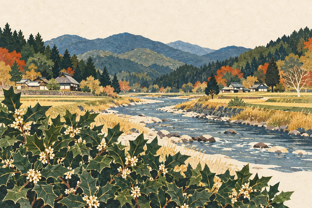
The place name Hiragino is said to come from holly that once grew thickly all over the area, and it is counted among the "seven fields" (Kyō no nanano) of Kyoto.
Meoto-iwa ("husband-and-wife rocks") in the area is also said to be the origin of a town name: there is a town called 上賀茂女夫岩町 (Kamigamo-Meotoiwa-chō). It is an area where the shape of the land itself, not only its plants but also rocks and valleys, remains in its place names.
From the fields of Kamigamo Shrine to a school district
The Hiragino school district was formed from the northern part of the former Kamigamo Village and the northeastern part of the former Nishigamo Village in Otagi District, and it developed as fields were opened up on land belonging to Kamigamo Shrine.
In response to a rapid population increase from housing development, the northwestern part of the Kamigamo school district (the former Hiragino area) and the northern part of the Ōmiya school district were merged in 1980 (Shōwa 55), creating the Hiragino school district on both banks of the Kamo River. The school opened in 1979 as the Hiragino branch of Kamigamo Elementary School, and when the district was organized the following year to include the Nishigamo area, the Tsūgaku Bridge ("school-commute bridge") was built as a route to school from the Nishigamo side.
When the elementary school was named, Hiragino is said to have been chosen because local people were attached to the historic name and because there was already a Hiragino Nursery School.
Where can you see the name today?
There is no town named Hiragino. As of April 1, 2025 (Reiwa 7), parts of the towns in Kamigamo, Nishigamo, and Kumogahata make up the attendance zone of Hiragino Elementary School. As a place name, Hiragino is notable for surviving in the names of the school district, the elementary school, a nursery school, and similar institutions.
Landmarks in the district include Hiragino Dam, the chiri-tsubaki camellia designated as a city natural monument, and Kawakami Daijingū Shrine, where the Yasurai Festival is held in April. Kyoto Bus has a stop called Hiragino Wakare, so you can also come across the reading Hiragino in bus destinations and stop names.
Kōyama, said to be the original site where Kamigamo Shrine's deity was enshrined, is another of the district's landmarks. As of 1999 (Heisei 11), the district's biggest event, the Hiragino Festival, was held on the south side of Nishigamo Bridge on the first Sunday of August, and students of Kyoto Sangyo University, located in the district, also took part in local events.
- Hiragino school district and Hiragino Elementary School: the district created in 1980 and its elementary school
- Hiragino Dam: one of the district's landmarks
- Hiragino Wakare: a Kyoto Bus stop name
- 上賀茂柊谷町 (Kamigamo-Hiiragidani-chō): a town name with 柊 read differently
For a walk: up the Kamo River
Within the Hiragino school district, the Takahashi, Shōda, Shikuro, Tsūgaku, and Nishigamo bridges span the Kamo River and link its two banks. Crossing the bridges and walking both banks, you can get a feel for how a single school district came to straddle the river. As of 1999, local residents spoke of wanting to pass on their green, rural community.
Note that the details of the district's population and events described here are as of 1999 (Heisei 11). Please check the latest information before visiting.
Mini quiz for this entry
Check what you've read with 2 multiple-choice questions.
What is said to be the origin of the place name Hiragino (柊野)?
How is 柊野, an area north of Kamigamo Shrine in Kita Ward, read?
Sources and verification
Content checked: October 11, 2026
Updated: October 11, 2026
References are in Japanese.