
Japanese出町柳の名前の由来
Where the Name Demachiyanagi Comes From
Other spellings and namesDemachiyanagi Station (出町柳駅) / Demachi (出町) / Yanagi-no-tsuji (柳の辻)
In short
Demachiyanagi is a station name that combines Demachi, on the west bank of the Kamo River, with Yanagi-no-tsuji, on the east bank. It was created in 1925 (Taishō 14), when the predecessor of the Eizan Electric Railway opened its line between Demachiyanagi and Yase, as a name joining the place names on the two banks.Key points in 30 seconds
A name combining Demachi and Yanagi-no-tsuji
Demachi is a place name on the west side of the Kamo River, Yanagi-no-tsuji on the east side
The station name was created on September 27, 1925, when the Eizan line (then the Eizan Electric Railway Heitan Line) opened
Near the station, the Kamo River (賀茂川) and the Takano River meet to become the Kamo River (鴨川)
Place names from both sides of the river made into one
Demachiyanagi was never originally a single town name. It is a station name created by combining Yanagi-no-tsuji, a place name on the east bank of the Kamo River, with Demachi, the place name on the opposite bank.
Local people are said to distinguish the west side of the Kamo River as Demachi and the east side as Demachiyanagi. A name born as a station name is now also used for the whole area on the east side of the river.
Sorting out the names around Demachiyanagi
| Name | Where or what it names |
|---|---|
| Demachi (出町) | A place name used since the early modern period for the area around Teramachi-Imadegawa, west of the Kamo River |
| Yanagi-no-tsuji (柳の辻) | A place name on the east bank of the Kamo River |
| Demachiyanagi (出町柳) | A station name created by combining the two place names when the Eizan line opened in 1925 (Taishō 14) |
| Demachi Bridge (出町橋) | A bridge over the Kamo River (賀茂川, also written 加茂川). When there were few bridges over the Kamo, it was the northern entrance to the capital |
| Kawai Bridge (河合橋) | A bridge over the Takano River |
What kind of town is Demachi?
Demachi is a place name used since the early modern period for the area around Teramachi-Imadegawa. It was a key transportation hub where three highways met—the Wakasa Kaidō (Saba Kaidō), the Kurama Kaidō, and the Yamanaka-goe—and it was also a town on the boundary between inside and outside the capital. Products from Rakuhoku (northern Kyoto), Wakasa, and Ōmi gathered here, and goods and culture from the capital passed through Demachi on their way to other regions.
Before the Edo period, mackerel (saba) caught in Wakasa was rushed to the capital along the Wakasa Kaidō in a single night, so the Wakasa Kaidō is also known as the Saba Kaidō (Mackerel Road). At that time there were few bridges over the Kamo River, and Demachi Bridge was the northern entrance to the capital. The area nearby was called Ōharaguchi and was counted as one of the Kyō no Nanakuchi (Seven Entrances to Kyoto).
Its character as a busy highway town with constant comings and goings also shows in the history of the end of the Edo period. Because the Satsuma domain residence was nearby, many activists (shishi) hid in Demachi at that time, and at the residence of Ōkubo Toshimichi that stood here, plans for the coup that restored imperial rule were discussed. In Demachi, the end point of the Saba Kaidō, saba-zushi (mackerel sushi) is one of the local specialties.
The station name was born in 1925
On September 27, 1925 (Taishō 14), Kyoto Dentō Co., Ltd. opened the Eizan Electric Railway Heitan Line (today's Eizan Main Line) between Demachiyanagi and Yase (today's Yase-Hieizanguchi). The station name Demachiyanagi was born at this time.
Today, Demachiyanagi Station is both a station on the Eizan Electric Railway and the Kyoto-side terminus of the Keihan line. People arriving by Keihan get off at the terminus, Demachiyanagi, and transfer to the Eizan line. As a transfer station for people heading to Mount Hiei and Kurama, the station name that joins two place names is announced every day.
Where the Kamo and Takano rivers meet
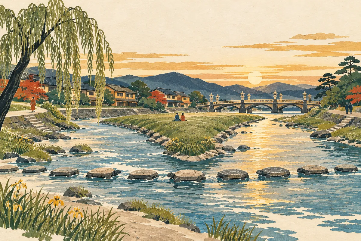
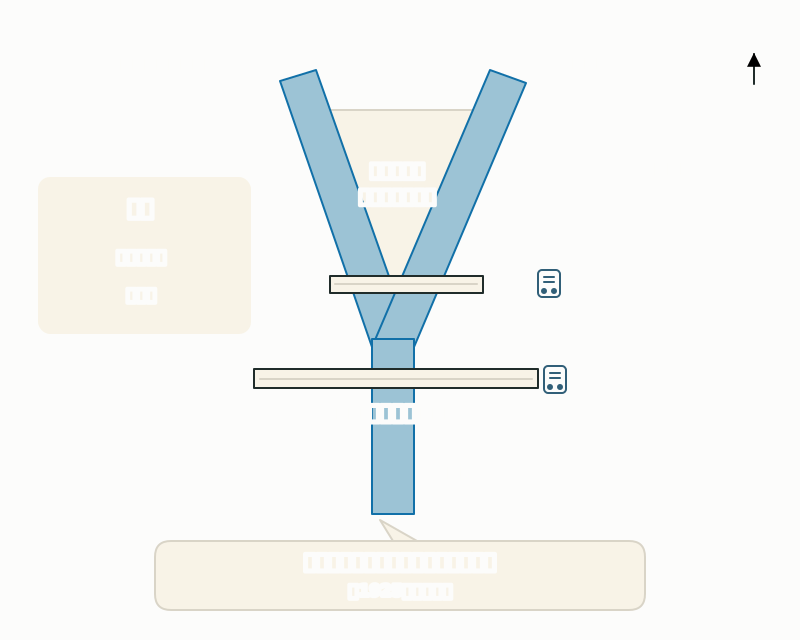
Right next to Demachiyanagi Station, the Kamo River (賀茂川, also written 加茂川), flowing from the north, and the Takano River, flowing from the northeast, meet, and from here southward the river is the Kamo River (鴨川). This confluence is called the "sankakusu" (delta) or "Kamo Delta," and it is often used as a filming location for movies, anime, and TV dramas.
Just south of the confluence is Kamo Ōhashi Bridge, which carries Imadegawa-dōri east–west. Kamo Ōhashi was built in 1931 (Shōwa 6) when Imadegawa-dōri was extended through from east to west. It was designed by the architect Takeda Goichi, and its stone lanterns lined along the railings were strikingly novel. It used to be written 加茂大橋, but recently the spelling 賀茂大橋 is also used.
Demachi and Demachiyanagi, where the Kamo and Takano rivers meet
To explore, cross the bridges to Demachi
To explore on foot, start on the Demachiyanagi side, cross Kawai Bridge over the Takano River and Demachi Bridge over the Kamo River, and head to the Demachi shopping street. Crossing the two bridges in turn, you walk from the "Yanagi" side of the station name to the "Demachi" side, tracing exactly how the name was put together.
Sights include Myōon Benzaiten, regarded as the guardian deity of Demachi; Sai-no-kami-no-yashiro (幸神社), whose name comes from sai-no-kami, a road deity enshrined at the northern entrance to the capital; and the Ōharaguchi signpost, erected in Keiō 4 (1868) at the end of the Edo period. Events in Demachi include the Goryō Matsuri on May 18, the Tanabata night stalls in early July, and daiko-daki in early February.
Mini quiz for this entry
Check what you've read with 3 multiple-choice questions.
Which two place names were combined to create the station name Demachiyanagi?
Which of the three highways that converge at Demachi has the nickname Saba Kaidō (Mackerel Road)?
Which of these events happened in 1925?
Sources and verification
Content checked: October 11, 2026
Updated: October 11, 2026
References are in Japanese.