
Japanese先斗町(ぽんとちょう)
Pontocho
Other spellings and namesPontochō / Pontochō-dōri / 先斗町
In short
先斗町 is read Pontochō (ぽんとちょう). It is the name of a narrow street and kagai (geisha district) running about 490 m between the Kamo River and Kiyamachi-dōri, from one block south of Sanjō-dōri to Shijō-dōri. Some theories link it to the Portuguese word ponto ("point"), but why it is read this way is said to be unknown.Key points in 30 seconds
Read Pontochō (ぽんとちょう)
Runs about 490 m north–south between the Kamo River and Kiyamachi-dōri; about 2 m wide at its narrowest
Theories about the name include a Portuguese origin and the sound of a drum; none is settled
Home of the Kamogawa Odori, first performed in 1872 (Meiji 5)
"Ponto": A Reading You Can't Get from the Kanji
Pontochō is the name of a street running along the west bank of the Kamo River in Nakagyō Ward, Kyoto City, and of the kagai (geisha district) around it. Neither 先 nor 斗 has any ordinary on-reading or kun-reading that leads to "ponto," making it one of Kyoto's best-known hard-to-read place names.
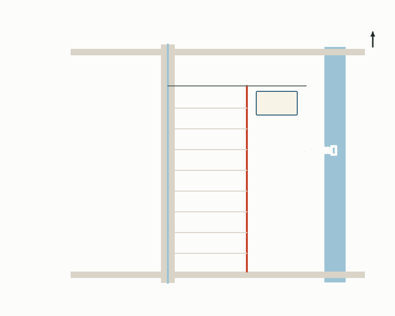
Pontochō-dōri runs about 490 m north to south along the Kamo River, from the street one block south of Sanjō-dōri to Shijō-dōri. To the west, Kiyamachi-dōri and the Takase River run parallel, and the two streets are connected by many narrow alleys.
Pontochō is a long, narrow town between the Kamo River and Kiyamachi-dōri
Where Does the Name Come From? The Portuguese and Drum Theories
The most commonly cited theory is that it comes from the Portuguese word ponto, meaning "point," a tip, or a cape or headland.
Another theory says that the long, narrow strip of land between the Kamo and Takase rivers was likened to a tsutsumi (embankment), and, as a pun on the tsuzumi (hand drum) that sounds "pon," it became "ponto."
Even as of 2011 (Heisei 23), it was said to be unknown why 先斗町 is pronounced Pontochō. This dictionary, too, does not treat any one theory as correct, and introduces it as a name with several theories.
When Did It Become a Town? Riverbank Works and a Kagai
The land of Pontochō came into being when the Kanbun New Embankment was built along the Kamo River in 1670 (Kanbun 10), making the Odoi earthwork, which had served as a levee until then, unnecessary, and the land was turned into residential lots. Later, teahouses and other businesses were permitted, and in the early Meiji era it became an independent kagai.
After the stone embankment of the Kamo River (the Kanbun New Embankment) was completed in 1670 (Kanbun 10), new land was developed along the river. Pontochō is one of the new towns that arose on the riverside in this way.
Key moments in Pontochō's history
| Year | Event |
|---|---|
| 1670 (Kanbun 10) | The Kanbun New Embankment is built along the Kamo River; the Odoi becomes unnecessary and the land is developed for housing |
| 1712 (Shōtoku 2) | Licenses for ikesu (fish-tank restaurants), followed by teahouse and inn licenses, are granted |
| 1870 (Meiji 3) | Pontochō, until then a satellite district of Nijō Shinchi, becomes an independent kagai |
| 1872 (Meiji 5) | The Kamogawa Odori is performed for the first time |
| 1927 (Shōwa 2) | The Pontochō Kaburenjō theater is completed |
| FY2015–2021 (Heisei 27–Reiwa 3) | Kyoto City carries out a project to bury Pontochō-dōri's power lines, removing 17 utility poles |
What You Can See in Pontochō Today
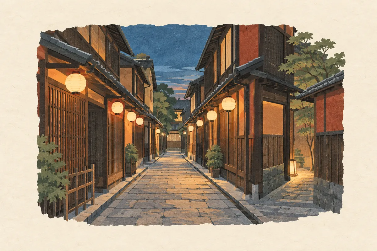
The street's width is given in different sources as about 2 m at its narrowest, or as 1.6 to 4.4 m. The eaves of the machiya townhouses on both sides come right up to the street, and the view stretching straight for nearly 500 m is the basis of Pontochō's character.
Many of the buildings on the west side of the street have an alley about half a ken (roughly 90 cm) wide on their south side, some of which lead through to Kiyamachi-dōri. The alleys, said to have once numbered 30 to 50, had dwindled to about 20 as of 2011.
The lanterns and signs lighting the street use a plover (chidori) pattern, the emblem of Pontochō. On Pontochō-dōri, power lines were buried between FY2015 and FY2021, and 17 utility poles were removed using the "Pontochō method," which made ground-level equipment and power boxes smaller to fit the narrow street.
- Kamogawa Odori: begun in 1872 (Meiji 5) and said to have been performed more times than any other of the "odori" dance performances of Kyoto's five kagai. Usually performed in May at the Pontochō Kaburenjō
- Suimeikai: a dance recital by geiko first held in 1930 (Shōwa 5). Since 1998 it has been held as an autumn dance recital
- Kamogawa Nōryō-yuka (riverside summer dining platforms): known as a Pontochō event from May to September
Things to Look For on a Walk
Whether you enter from the Sanjō end or the Shijō end, a narrow single lane runs straight ahead. Pontochō-dōri is a pedestrian street closed to bicycles and cars, described as so narrow that "passersby brush shoulders." At night it gets crowded with people visiting restaurants and bars, so if you stop to take photos, be careful not to block others.
Peek into the alleys running west from the street and you will see narrow paths leading through to Kiyamachi and buildings lining the alleys. However, some alleys are private property or shop passageways, so it is important to follow the signs and not wander in uninvited.
Precisely because the origin of the name is unknown, locals cite the name "Pontochō" itself as one of the town's important charms. If you check on a map the long, narrow shape of the town between the Kamo and Takase rivers before walking, it is easier to imagine why the theories linking it to "point" and "embankment" arose.
Mini quiz for this entry
Check what you've read with 3 multiple-choice questions.
How is the Kyoto place name 先斗町 read?
What is said to have first been performed in Pontochō in 1872 (Meiji 5)?
Which statement best describes the origin of the name Pontochō?
Sources and verification
Content checked: October 11, 2026
Updated: October 11, 2026
References are in Japanese.