
Japanese鹿ケ谷(ししがたに)
Shishigatani
Other spellings and names鹿ヶ谷 / Shishigatani-dori (鹿ケ谷通) / Shishigatani Incident (鹿ヶ谷の陰謀) / Shishigatani Plot
In short
鹿ケ谷, read Shishigatani (ししがたに), is an area of Sakyō Ward spreading across the western foot of Nyoigatake. Its name is said to come from a legend that when Chishō Daishi (Enchin) visited, a single deer appeared and showed him the way. The name survives today in 18 town names, such as Shishigatani Hōnen'in-chō.Key points in 30 seconds
Read Shishigatani (ししがたに), with 鹿 (deer) read shishi
The name is said to come from a legend that a deer guided the monk Enchin
Setting of the Shishigatani plot of 1177 to overthrow the Taira clan
There are now 18 towns named Shishigatani ...-chō, all in the Daisan Kinrin Elementary School district
A Settlement at the Western Foot of Nyoigatake
鹿ケ谷 is read Shishigatani (ししがたに). It is tempting to read the first character, 鹿 (deer), as shika, but in this place name it is read shishi. When it is written 鹿ヶ谷, the reading is still ししがたに.
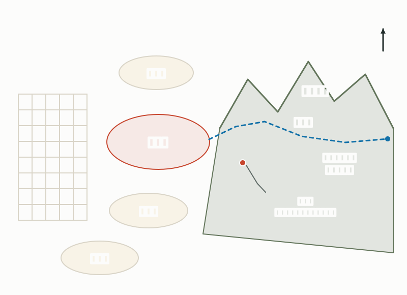
Shishigatani was a settlement in the hills at the western foot of Nyoigatake, bordered by Jōdo-ji to the north and by Nanzen-ji and Awataguchi to the south. Over the mountains to the east lay Ōmi (today's Shiga Prefecture), and the old road leading to Onjō-ji (Mii-dera) was also called the Nyoi-goe, the route between the two provinces.
Shishigatani Lies at the Western Foot of Nyoigatake
The Legend of a Guiding Deer
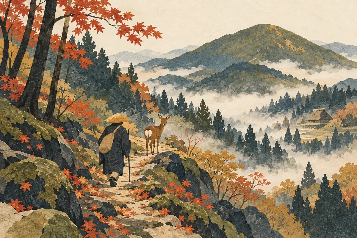
The place name is said to come from a legend that when Chishō Daishi (Enchin) visited this area, a single deer appeared and showed him the way. It is only a legend, and details such as when it happened are not told.
From the Heian period onward, aristocrats built temples and mountain villas here, and the area around Enjō-ji, a temple abandoned after the Ōnin War, was also famous for its cherry blossoms. It was known as a hillside area of great natural beauty.
Shunkan's Villa and the Shishigatani Plot
The name Shishigatani became famous because Shunkan, an administrator of Hosshō-ji temple, built a mountain villa in the hills east of Reikan-ji and held meetings there to plot the overthrow of the Taira (Heike) clan. Betrayed by an informer, Shunkan and the other ringleaders were arrested and exiled to distant islands, and the villa was confiscated. Since then this part of the hills has been known as Dangōdani, "the valley of the conspiracy."
This event of 1177 is called the Shishigatani plot (鹿ヶ谷の陰謀), a conspiracy by close associates of the Cloistered Emperor Go-Shirakawa to overthrow the Taira. Although it was stopped in advance thanks to an informer, it opened a deep rift between Taira no Kiyomori and Go-Shirakawa, and two years later, in the coup of 1179 (Jishō 3), Kiyomori confined the cloistered emperor to the Toba-dono palace.
Shishigatani Village in the Edo Period
Nyoi-ji (Nyoirin-ji), said to have been one of the "three thousand temple lodgings" of Mt. Hiei, was founded in the Shishigatani area, and many of its halls were scattered across the hills, but it was destroyed by fire during the wars of the Nanbokuchō period. Its rebuilding in the mid-Edo period by the imperial abbess of Reikan-ji is depicted in Shūi Miyako Meisho Zue, a guide to Kyoto's famous sites published in 1787 (Tenmei 7).
In the Edo period, Shishigatani Village was a farming village with an assessed yield of a little over 158 koku of rice, held by lords such as the princely abbots of Myōhō-in and Shōren-in. Because the village bordered the mountains, disputes over the use of the hills never ended, and it also came into conflict with Jōdo-ji Village and with Onjō-ji in Ōmi. The village is said to have had a few rural samurai, called gōzamurai, under each lord, who were allowed to use surnames and to wear swords when on official duty or at shrine rituals.
Where Can You See It Today? The 18 Shishigatani Town Names
As of April 1, 2025 (Reiwa 7), Sakyō Ward has 18 town names beginning with Shishigatani, all of them in the school districts of Daisan Kinrin Elementary School and Okazaki Junior High School. The official spelling uses a full-size ケ (鹿ケ谷), though in historical writing it is sometimes written with a small ヶ (鹿ヶ谷). Both are read Shishigatani.
Among the town names, five end in -dani (谷, valley)—Kurikidani, Sakuradani, Shōbudani, Daikokudani, and Tokuzendani—and others end in -san or -yama (山, mountain): Zenkisan, Tachōsan, Fudōyama, and Nyakuōjiyama. The present town names suggest that this was land opened up in valleys at the foot of the mountains. Today Shishigatani is fully urbanized, lined with houses and schools, but the town names keep alive the image of earlier times.
If you walk here, try collecting the town names that follow "Shishigatani" on address plates and town-name signs; the names of valleys, temples, and shrines give you clues to the shape of the land. Dangōdani, where Shunkan's villa is said to have been, lies in the hills east of Reikan-ji.
Town names beginning with Shishigatani (Sakyō Ward)
| Town name | Reading |
|---|---|
| 鹿ケ谷上宮ノ前町 | Shishigatani Kamimiyanomae-chō |
| 鹿ケ谷栗木谷町 | Shishigatani Kurikidani-chō |
| 鹿ケ谷御所ノ段町 | Shishigatani Goshonodan-chō |
| 鹿ケ谷桜谷町 | Shishigatani Sakuradani-chō |
| 鹿ケ谷下宮ノ前町 | Shishigatani Shimomiyanomae-chō |
| 鹿ケ谷菖蒲谷町 | Shishigatani Shōbudani-chō |
| 鹿ケ谷善気山町 | Shishigatani Zenkisan-chō |
| 鹿ケ谷大黒谷町 | Shishigatani Daikokudani-chō |
| 鹿ケ谷高岸町 | Shishigatani Takagishi-chō |
| 鹿ケ谷多頂山町 | Shishigatani Tachōsan-chō |
| 鹿ケ谷寺ノ前町 | Shishigatani Teranomae-chō |
| 鹿ケ谷徳善谷町 | Shishigatani Tokuzendani-chō |
| 鹿ケ谷西寺ノ前町 | Shishigatani Nishiteranomae-chō |
| 鹿ケ谷若王子山町 | Shishigatani Nyakuōjiyama-chō |
| 鹿ケ谷不動山町 | Shishigatani Fudōyama-chō |
| 鹿ケ谷法然院町 | Shishigatani Hōnen'in-chō |
| 鹿ケ谷法然院西町 | Shishigatani Hōnen'in Nishimachi |
| 鹿ケ谷宮ノ前町 | Shishigatani Miyanomae-chō |
Mini quiz for this entry
Check what you've read with 2 multiple-choice questions.
How is 鹿ケ谷, an area at the western foot of Nyoigatake in Sakyō Ward, read?
In the legend said to be the origin of Shishigatani (鹿ケ谷), a deer appeared and guided which figure?
Sources and verification
Content checked: October 11, 2026
Updated: October 11, 2026
References are in Japanese.