
Japanese嵐山・渡月橋・竹林と川の名前
Arashiyama: Togetsukyō, the Bamboo Grove, and the River's Names
Other spellings and namesTogetsukyō Bridge / Arashiyama Bamboo Grove (Chikurin no Komichi) / Katsura River / Hozu River
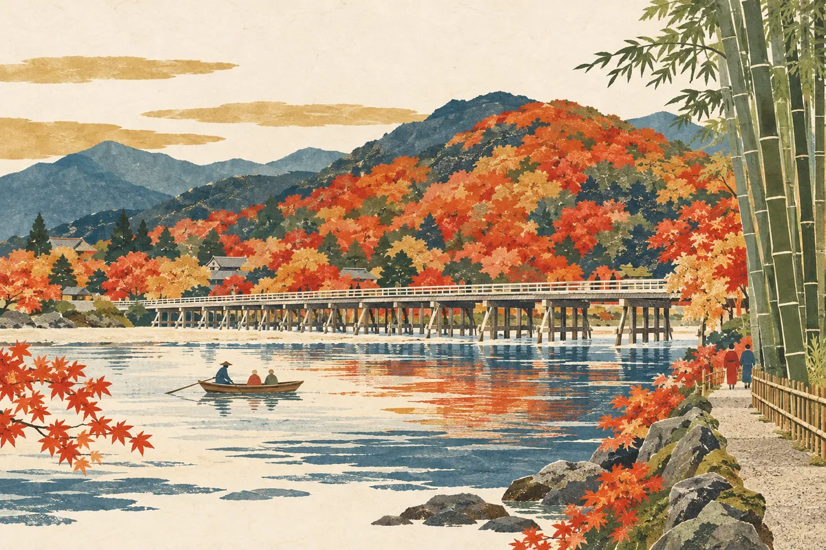
In short
The scenery of Arashiyama is shaped not only by Togetsukyō Bridge and the bamboo grove, but also by a single river whose name changes from place to place: the Hozu, the Ōi, and the Katsura.Key points in 30 seconds
Togetsukyō spans the Katsura River
The bamboo grove path (Chikurin no Komichi) is about 400 meters long
Around Kameoka, the Katsura River is called the Hozu River
Arashiyama scenery made by a bridge and a bamboo grove
Togetsukyō is a well-loved bridge that serves as the starting point for walks around Arashiyama.
The bamboo grove path (Chikurin no Komichi), which runs from Nonomiya Shrine past the north gate of Tenryū-ji to Ōkōchi Sansō, is about 400 meters long.
Togetsukyō spans the Katsura River. Depending on the stretch and the area, this river is also called the Ōi River (大堰川), the Hozu River, and other names.
From the Hozu River to the Katsura River
The Katsura River's name changes from area to area, and the stretch through central Kameoka is commonly called the Hozu River.
Where does the name Togetsukyō come from?
Togetsukyō is said to have begun as a bridge built during the Jōwa era (834–847) by Dōshō, a disciple of Kōbō Daishi, and at that time it was called Hōrinji Bridge. It seems to have stood a little upstream of where it is today.
The name Togetsukyō ("moon-crossing bridge") is said to come from about 440 years later, when Retired Emperor Kameyama watched the moon moving across the sky above the bridge and remarked that it was "like the cloudless moon crossing over," likening the bridge to the moon making its way across. A bridge at the present site is said to have been built later by Suminokura Ryōi, and the bridge, which was repeatedly destroyed by fire and washed away, lives on in the present bridge completed in June 1934. It is 155 meters long.
One river, many names
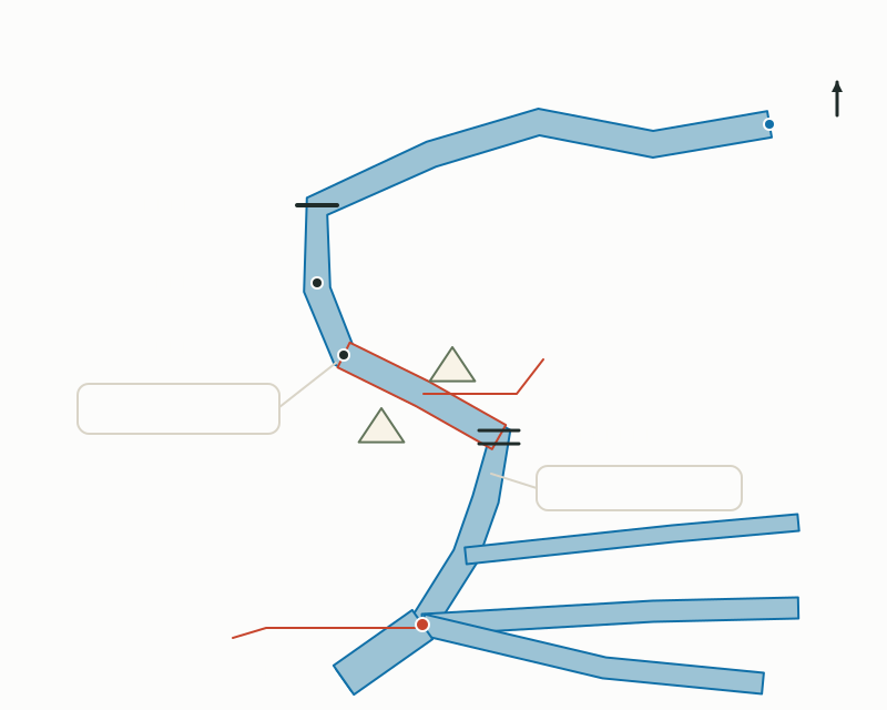
The Katsura River rises near Hirogawara in Sakyō Ward, Kyoto City, flows through Nantan City and Kameoka City, passes through the Hozukyō Gorge, and enters Arashiyama. It is then joined by the Kamo River at Shimotoba, and near Ōyamazaki it meets the Kizu and Uji rivers to become the Yodo River. Its course is 114 kilometers long.
Its name was unified as the Katsura River with the enactment of the River Act in 1896 (Meiji 29), but in ancient times it was called the Kadono River, and old records also write it as Ōi (大堰), Ōi River (大井川), Nishikawa (西河), Kadokawa (葛河), and so on. Even now its name changes from place to place: Kami-Katsura River, Chitose River, Ōi River (大井川 and 大堰川), and Hozu River. The valley from around Shino-chō in Kameoka City to around Arashiyama is called the Hozukyō Gorge, and from around Arashiyama the river comes to be called the Ōi River (大堰川).
The course of the Katsura River and its names along the way
A river that carried rafts and boats
This river has also long been a route for transporting goods. It is said that when Nagaoka-kyō and Heian-kyō were built, timber from Tanba was lashed into rafts and floated down, and in the 13th century raftsmen (ikadashi) who specialized in floating rafts appeared. Rafts could reportedly be seen until around 1948 (Shōwa 23).
In 1606 (Keichō 11), Suminokura Ryōi used his own fortune to open up the river from Seki to Saga, allowing farm produce and other goods from Tanba to be carried in large quantities by boat. This boat traffic declined with the opening of the Kyoto Railway in 1899 and the spread of truck transport from the end of the Taishō period, and cargo boats disappeared around 1948 (Shōwa 23). Meanwhile, from the Edo period people began enjoying boat rides down the gorge, and at the end of the Meiji period sightseeing trips known as the Hozugawa Kudari (Hozu River boat ride) began.
To explore, visit the three areas of Arashiyama Park
Kyoto Prefectural Arashiyama Park, which spreads around Togetsukyō, is divided into three areas. The Kameyama area, on a hill southeast of Mount Ogura, has an observation deck with a view west over the Hozukyō Gorge. The Nakanoshima area, on an island in the Katsura River, has many pines and cherry trees and is busy in the cherry-blossom season. In the Rinsen-ji area, on the left bank downstream of Togetsukyō, rows of cherry and maple trees line the way around old Japanese red pines.
Togetsukyō is a 2-minute walk from Randen Arashiyama Station, an 8-minute walk from Hankyu Arashiyama Station, and an 11-minute walk from JR Saga-Arashiyama Station (as of October 2026). If you cross the bridge and look at the river from Nakanoshima, you can see how the landscape opens up as the river emerges from the Hozukyō Gorge into the Kyoto Basin.
Mini quiz for this entry
Check what you've read with 3 multiple-choice questions.
What is the name of Arashiyama's famous bridge?
Which river does Arashiyama's Togetsukyō Bridge cross?
About how long is Arashiyama's Bamboo Grove path?
Sources and verification
Content checked: October 11, 2026
Updated: October 11, 2026
References are in Japanese.