
Japanese蹴上(けあげ)
Keage
Other spellings and namesKeage Station / Yoshitsune Dainichi Nyorai / Yoshitsune's Resting Stone / 蹴上
In short
蹴上 is read Keage. It is an area name for the surrounding district that does not appear in any official address. It is said to come from Minamoto no Yoshitsune, on his way to Ōshū, cutting down a warrior who kicked up (keage) muddy water. Located on the old Tōkaidō road, it was the eastern gateway to the capital, and today the name lives on in a subway station, the incline, a power station, and a water treatment plant.Key points in 30 seconds
Read Keage; Tōzai subway line station number T09
There is no address called Keage; it is an area name for the surrounding district
A legend links its origin to Minamoto no Yoshitsune
From the Heian period on, it was the eastern gateway to the capital on the old Tōkaidō road
Keage: an area name that isn't in any address
There is no address called Keage; the name refers to the surrounding area as a whole. Even Keage Station (T09) on the Kyoto Municipal Subway Tōzai Line is officially located in Higashikomonoza-chō, Higashiyama Ward.
Keage Station opened on October 12, 1997 (Heisei 9), with entrances on the north and south sides of Sanjō-dōri. You see the name almost daily on stations and facilities, yet it does not exist as an address. This idea of a name that lives on only as an area name is what makes Keage interesting.
Did Yoshitsune kick up muddy water? The legend behind the name
The place name is said to come from Minamoto no Yoshitsune, on his way to Hiraizumi in Ōshū, cutting down a warrior who kicked up (keage) muddy water. This, however, is told only as a legend.
Nearby is the Yoshitsune Dainichi Nyorai, said to be one of nine Jizō statues that Yoshitsune set up along the road to mourn the warriors he had killed, and Yoshitsune's Resting Stone (Yoshitsune Koshikake-ishi), where tradition says he sat to rest when setting out for Ōshū with the gold merchant Kichiji and others. What makes it distinctive is that the place name and these stone figures and stones are tied together by the same story.
The eastern gateway to the capital
South of the Lake Biwa Canal runs the old Tōkaidō (Sanjō Kaidō), the road from Ōmi to the eastern provinces, and from the Heian period on the Keage area was a key transportation point as the capital's eastern gateway. The legend of Yoshitsune setting out on his journey makes more sense when you consider that this place stood on the road linking the capital with the eastern provinces.
Nearby Himukai Daijingū Shrine, also called "Kyoto's Ise Shrine," has long been worshipped by travelers praying for a safe journey on the Tōkaidō. Its buildings, in the shinmei-zukuri style, are divided into an Inner Shrine and an Outer Shrine modeled on Ise Jingū, and they are registered tangible cultural properties of Kyoto City.
Keage of the canal and the power station
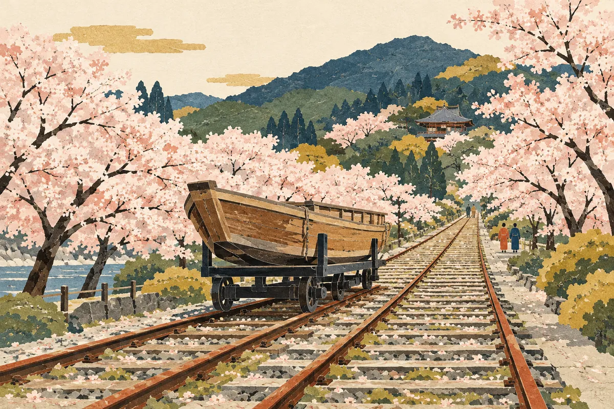
The Lake Biwa Canal, a great Meiji-era project, flows from Keage toward Yamashina, and the Keage Incline and Keage Power Station stand nearby. The incline is an inclined railway built to carry boats over a stretch with a height difference of about 36 m, and it is a national historic site. Keage Power Station, built after the canal plan was changed to make use of hydroelectric power, is considered Japan's first hydroelectric power station.
The place name is still used for facilities: Keage Water Treatment Plant, Keage Power Station, and Keage Incline. The history of the canal and the power station is explained in detail in this dictionary's entry on the Lake Biwa Canal and Keage Power Station.
Learn the origins of nearby place names too
From Keage to northwestern Yamashina, a series of other place names have origin stories too. Learning them together with Keage makes it easier to read the place names along the route from Higashiyama to Yamashina.
Place names from Keage to northwestern Yamashina and their origins
| Place name | Reading | Said origin |
|---|---|---|
| 蹴上 | Keage (けあげ) | Said to come from Minamoto no Yoshitsune, on his way to Ōshū, cutting down a warrior who kicked up muddy water. Not used in addresses |
| 日ノ岡 | Hinooka (ひのおか) | From a hill surrounded by mountains and open only to the southeast, where the morning sun shines in |
| 御陵 | Misasagi (みささぎ) | From the presence of Emperor Tenji's Yamashina Mausoleum |
| 厨子奥 | Zushioku (ずしおく) | Said to come from being beyond (oku) a crossroads related to the Shibutani Kaidō, or from zushi (辻子, a small lane) |
For a walk: from the station's two exits
Around Exit 1 of Keage Station (south of Sanjō-dōri) are the Keage Incline, the Nejiri-manpo tunnel, the Lake Biwa Canal Museum, Nanzen-ji, Himukai Daijingū, and more. Around Exit 2 (north of Sanjō-dōri) are the Keage Water Treatment Plant, Keage Power Station (with the monument marking the birthplace of the hydroelectric power business), and the Kyoto International Community House.
The Nejiri-manpo is a tunnel with bricks laid in a spiral to strengthen it, because it crosses the road above at an angle. If you follow the old incline tracks, pass through the Nejiri-manpo, and walk toward Nanzen-ji, you can feel both the history of the old road that gave the place its name and that of the Meiji-era canal at the same time.
Mini quiz for this entry
Check what you've read with 2 multiple-choice questions.
How is 蹴上, also the name of a Tōzai Line subway station, read?
Who appears in the legend handed down as the origin of the place name Keage (蹴上)?
Sources and verification
Content checked: October 11, 2026
Updated: October 11, 2026
References are in Japanese.