
Japanese雲母坂(きららざか)
Kirarazaka
Other spellings and namesKirara-zaka / Kirara-ji temple site / Eizan Railway Kirara / Chokushi-zaka / 雲母坂 / きらら坂
In short
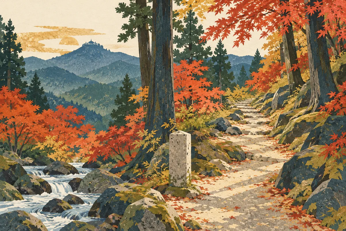
雲母坂, read Kirarazaka, is a mountain path that climbs from Shūgakuin in Sakyō Ward to Mount Hiei. Its name is said to come from the mica (unmo, 雲母) contained in the granite sand and soil. As the shortest route from Kyoto to Enryaku-ji, it is an old road climbed by monks and imperial envoys.Key points in 30 seconds
Read Kirarazaka; the mineral 雲母 (mica) can be read both unmo and kirara
Said to be named after mica in the granite sand and soil; another theory links it to clouds
The shortest route from Kyoto to Enryaku-ji on Mount Hiei, also called Chokushi-zaka ("envoys' slope")
The trailhead is along the Otowa River, with monuments marking the Kirara-ji temple site and a site associated with Shinran
An old mountain path to Mount Hiei
Kirarazaka is the shortest route from Kyoto to Mount Hiei, a path climbed by many monks and imperial envoys. The Manshuin-michi road leads past Manshu-in and Kirarazaka to Enryaku-ji on Mount Hiei, and in the Edo period it was also used by Retired Emperor Go-Mizunoo for his visits to Shūgakuin Imperial Villa.
Kirarazaka is a mountain path of about 50 chō (about 5.5 km) that runs north of Sagimori Shrine and east of Rinkyū-ji, follows the Otowa River, and passes Shimeigatake to reach the Konpon Chūdō of Enryaku-ji. Because imperial envoys traveled it on their way to Enryaku-ji, it was also called Chokushi-zaka ("envoys' slope"), and it has other names too, such as Fudō-zaka, Omote-zaka, and Nishi-zaka.
In Shūgakuin-Otowadani, Sakyō Ward, stands a stone marker erected in 1958 (Shōwa 33) reading "Shinran Shōnin Gokyūseki Kirara-zaka" (Kirara-zaka, a site associated with Saint Shinran). It is said to mark Kirarazaka as the path Shinran used to travel to and from Mount Hiei, where he was training, when he went to worship at Rokkaku-dō.
Is kirara the mineral mica, or clouds?
The name is said to come from mica (unmo, 雲母) contained in the granite sand and soil. Mica is a mineral found in granite and other rocks that peels off easily in thin layers and has a pearly luster; besides unmo, it is also read kirara. The explanation is that the name came from the way the mica mixed into the sand of the slope glitters.
On the other hand, the Edo-period topography Sanshū Meisekishi gives another theory: the slope was named 雲母坂 because, seen from Kyoto, it looks as if it is giving birth to clouds (雲, kumo). It is not settled on just one origin, and different materials give different explanations.
The way of writing it was not fixed either. In an entry for 1351 (Kannō 2) in Entairyaku, the diary of a court noble of the Nanboku-chō period, it is written 幾良々坂. This shows that even as the kanji changed, the sound kirara had been used since early times.
Names containing 雲母 and their readings
| Name | Reading |
|---|---|
| 雲母坂 | Kirarazaka (きららざか) |
| 雲母 (the mineral mica) | Unmo (うんも); also kirara |
| 雲母寺跡 (stone marker) | Kirara-ji ato (きららじあと) in a city walking map / Unmo-ji ato (うんもじあと) in a city inscription database |
| 修学院雲母城跡 (castle site) | Kirara (the reading given for 雲母) |
| Observation train Kirara | Kirara (きらら) |
The trailhead monuments and the vanished Kirara-ji
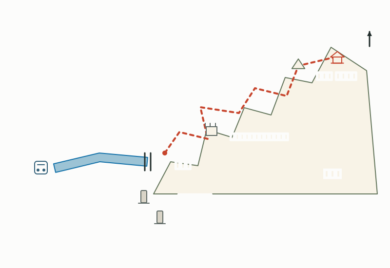
At the trailhead along the Otowa River stands a stone monument marking the site of Kirara-ji (雲母寺). Kirara-ji was a Tendai temple founded by Sōō in the Gangyō era (877–884). It was built at the foot of Kirarazaka, the steep mountain path to the Konpon Chūdō of Enryaku-ji, and enshrined Fudō Myōō as its principal image.
Kirara-ji was abolished in the Meiji era, and its main hall and principal image of Fudō Myōō were moved to Sekizan Zen-in, just north of Shūgakuin Imperial Villa. The stone marker (erected in 1964) originally stood in the mountains but was moved to its current location in 1993 (Heisei 5).
There are historic remains partway up the slope too. In the mountains east of Shūgakuin Imperial Villa, around a spot midway up Kirarazaka called Naka-ryōzen, the earthworks, leveled areas, and stone walls of the Sengoku-period mountain castle Shūgakuin Kirara-jō (修学院雲母城) remain.
From Shūgakuin to Mount Hiei: the route of Kirarazaka
Also the name of Eizan Railway's Kirara
Kirarazaka, near the railway line, is a trail leading from Shūgakuin to Mount Hiei. It even appears in the Taiheiki and has long been a place name familiar to the people of Kyoto. Eizan Electric Railway combined that image with the way its cars sparkle (kira-kira) in the sunlight filtering through the trees, and named its observation train Kirara.
The place name itself does not survive as a town name in addresses. Shūgakuin-Otowadani, where the Shinran stone marker stands, and Shūgakuin-Sekizan, where the Kirara-ji site marker stands, both belong to the Shūgakuin Elementary School and Shūgakuin Junior High School districts. In other words, Kirarazaka has been handed down not as a town name but through the names of a path, monuments, and a train.
For a walk
This area is well suited to walks taking in Sekizan Zen-in and Manshu-in on the way to Ichijōji and Kitashirakawa, and the nearest station is Shūgakuin Station on the Eizan Railway. Kirarazaka begins at the foot of the mountains to the east, up along the Otowa River. Even if you just look at the two monuments at the trailhead and turn back, you can fully appreciate the origin of the name and the atmosphere of the old road.
Climbing all the way to Mount Hiei is a proper mountain hike of several kilometers on a mountain path. Note too that there are few public toilets along the route. Prepare a map, water, and comfortable shoes, and in seasons with short days it is safest to set out early.
Mini quiz for this entry
Check what you've read with 2 multiple-choice questions.
How is 雲母坂, the mountain path from Shugakuin in Sakyō Ward up to Mount Hiei, read?
What is said to be the origin of the name Kirarazaka (雲母坂)?
Sources and verification
Content checked: October 11, 2026
Updated: October 11, 2026
References are in Japanese.