
Japanese東大路通と堀川通の歴史
The History of Higashioji-dori and Horikawa-dori
Other spellings and namesHigashiyama-dōri / Horikawa / Higashiōji / 東山通 / 堀川
In short
Higashiōji-dōri used to be called Higashiyama-dōri, and that name survives in intersection names such as Higashiyama Sanjō. The Horikawa is said to have been laid out as a canal when Heian-kyō was built, and it was used to transport timber and to rinse Yūzen-dyed fabric. Its water source was cut off in the late 1950s and early 1960s, but a restoration project in the Heisei era brought back a gentle stream.Key points in 30 seconds
Higashiōji-dōri's former name is Higashiyama-dōri
The old name survives in intersection names such as Higashiyama Sanjō
The Horikawa is said to have been laid out as a canal when Heian-kyō was built
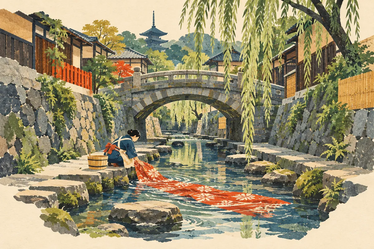
The Horikawa was used to transport timber and to rinse Yūzen-dyed fabric
Higashiōji-dōri was once called Higashiyama-dōri
The former name of Higashiōji-dōri is Higashiyama-dōri, and places along it are still sometimes called by the old name, as in Higashiyama Sanjō. Even after the street was renamed, the earlier name lives on in places such as intersection names.
When the street name on a map seems not to match the intersection names on the ground, the old name is the key. This is why so many intersections along Higashiōji-dōri are named Higashiyama-something.
What kind of street is Higashiōji-dōri?
Higashiōji-dōri is a north–south street running between the Kamo River and the Higashiyama mountains. It has the Gojō-zaka bus stop, the closest one to Kiyomizu-dera, and the area around Higashiyama Shijō is often called Gion. Because car traffic tends to be heavy, visitors are advised to get around by Keihan train and on foot.
Higashiōji-dōri runs north to south through the Higashiyama district and is an important road, serving both as an everyday road for Higashiyama Ward residents and as a sightseeing route. At the same time, its narrow sidewalks with uneven steps and bus passengers spilling onto the sidewalks are seen as problems. Kyoto City has made improving Higashiōji-dōri into a street that is enjoyable to walk a symbolic project of its "Walking City Kyoto" comprehensive transportation strategy, adopted in January 2010.
The Horikawa began as a canal of Heian-kyō
Before Heian-kyō was built, natural rivers are thought to have flowed near today's Karasuma-dōri and Horikawa-dōri. The Horikawa is said to have originated when one of them was reworked into a canal running down the middle of Horikawa-kōji street. Bridges were built where the major and minor streets crossed it, so people could move between its east and west banks.
Ichijō Modoribashi Bridge on Ichijō-dōri is one of those bridges. You can also walk along the Horikawa following its bridges in order from north to south, from Ichijō Modoribashi to Oshikōji Bridge.
A river that carried timber and washed dyed cloth
A large Horikawa once flowed along Horikawa-dōri, and it was used to transport timber and to rinse fabric in the Yūzen dyeing process. Looking only at Horikawa-dōri as a road, this is easy to miss, but the name Horikawa ("canal river") passes down the history of the work carried out along the waterway.
The street changed greatly from the modern era onward. The opening of streetcar lines from the Meiji era on, and forced road widening near the end of the war to keep fires from air raids from spreading, transformed Horikawa-dōri. Today Horikawa-dōri is a wide street that is considered less prone to traffic jams, and Nijō Castle and Nishi Hongan-ji stand along it.
The Horikawa ran dry, then flowed again
In the late 1950s and early 1960s (Shōwa 30s), the Horikawa's water source was cut off. It became a concrete-bottomed channel with almost no water, except for sewage flowing in on rainy days.
The city took water from the Second Lake Biwa Canal's branch line, ran it under the bed of the Kamo River, and led it to Shimei-dōri and Horikawa-dōri, then released it into the open section of the Horikawa from Imadegawa-dōri to Oike-dōri to bring back a gentle stream. The project ran from fiscal 1997 to fiscal 2008 over a stretch of about 4.4 km, with a flow of 6 tonnes of water per minute. The water was also planned so that it could be used for firefighting in a disaster.
Timeline of the Horikawa
| Period | Event |
|---|---|
| When Heian-kyō was built | A natural river is said to have been reworked into a canal running down the middle of Horikawa-kōji |
| In the past | Used to transport timber and to rinse Yūzen-dyed fabric |
| Late 1950s–early 1960s (Shōwa 30s) | Water source cut off; the river carries almost no water |
| FY1997–FY2008 | The Horikawa Waterside Environment Improvement Project (about 4.4 km) creates a stream channel and promenade |
For a walk: the Horikawa promenade
The restored open section of the Horikawa (from Motoseiganji-dōri to Oshikōji-dōri) has a stream, a promenade, and benches. There is a lawn area between Shimochōjamachi-dōri and Demizu-dōri, stepped drops in the riverbed between Marutamachi-dōri and Takeyamachi-dōri, and steps that double as viewing seats between Nijō-dōri and Oshikōji-dōri. Walking south from Ichijō Modoribashi along the water, passing under bridge after bridge, you can sense the history of the canal that once lay hidden beneath the street.
Street names preserve memories of old landforms, facilities, and trades. Knowing a street's former name and how its water was used, not just its present width and traffic, changes the way you see the same street.
Mini quiz for this entry
Check what you've read with 2 multiple-choice questions.
What was Higashiōji-dōri formerly called?
What activities once took place in the Horikawa waterway?
Sources and verification
Content checked: October 11, 2026
Updated: October 11, 2026
References are in Japanese.