
DICTIONARY CATEGORY
Addresses & Streets
Agaru and sagaru, street names and the shape of neighborhoods. Your starting point for decoding Kyoto addresses.
11 entries11 entries
Addresses & Streets
Agaru and sagaru, street names and the shape of neighborhoods. Your starting point for decoding Kyoto addresses.
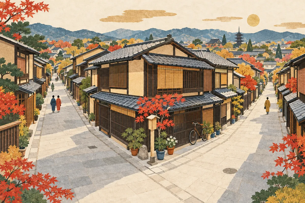
Agaru, Sagaru, Higashi-iru, Nishi-iru
In addresses in central Kyoto, agaru (上る) means going north, sagaru (下る) going south, higashi-iru (東入る) going east, and nishi-iru (西入る) going west. They have nothing to do with going up or down a slope; they tell you which way to go from the intersection of two streets.
Read more
Why Kyoto Addresses Are So Long
Kyoto addresses look long because, in addition to the official town name and lot number, they sometimes include directions: "from the intersection of this street and that street, go this way." Behind this lie the history of towns forming along streets and the need to tell apart towns with the same name.
Read more
Ryogawacho
A ryōgawachō (両側町, "two-sided town") is a Kyoto town form in which the houses facing each other across a single street make up one town. Its defining feature is that the community is bound together around the street, not around the inside of a block, and from the medieval period onward it became the basic unit of self-government in Kyoto's towns.
Read more
Where the Name Oike-dori Comes From
Oike-dōri (御池通) is said to have gotten its name in the mid-Edo period because it was the road leading to the pond (ike) in Shinsen-en. It was originally a narrow lane of Heian-kyō called Sanjō-bōmon Kōji, and after wartime clearances it became an avenue 50 meters wide.
Read more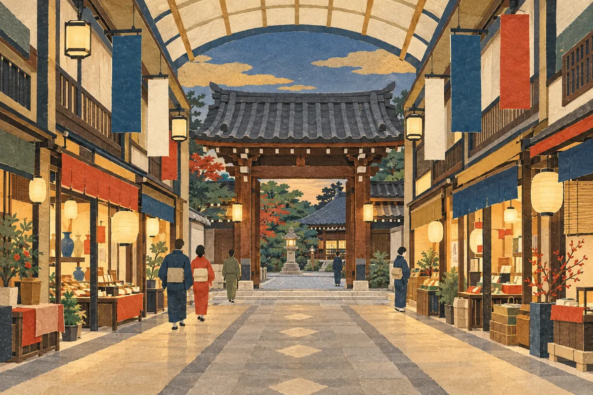
Teramachi-dori and Shinkyogoku-dori
Teramachi-dōri corresponds to Higashi-Kyōgoku Ōji, the avenue at the eastern edge of Heian-kyō, and many temples were gathered along it in Toyotomi Hideyoshi's remodeling of the city. In 1872, Shinkyōgoku-dōri was created to its east by reorganizing the temple grounds, becoming a busy shopping and entertainment street running about 500 meters from Sanjō-dōri to Shijō-dōri.
Read more
Kyoto's Street-Name Songs
The street-name song Marutake Ebisu (丸竹夷), which begins "maru-take-ebisu-ni-oshi-oike," is a song for memorizing the east–west streets of central Kyoto in order from north to south. There is also Teragoko (寺御幸), which sings the north–south streets from east to west.
Read more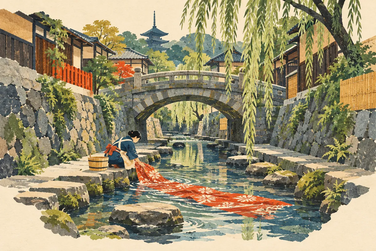
The History of Higashioji-dori and Horikawa-dori
Higashiōji-dōri used to be called Higashiyama-dōri, and that name survives in intersection names such as Higashiyama Sanjō. The Horikawa is said to have been laid out as a canal when Heian-kyō was built, and it was used to transport timber and to rinse Yūzen-dyed fabric. Its water source was cut off in the late 1950s and early 1960s, but a restoration project in the Heisei era brought back a gentle stream.
Read more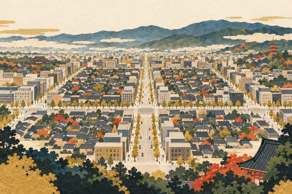
Kyoto's Ta-no-ji Area
The Ta-no-ji area of central Kyoto is a name for the district bounded by Oike-dōri to the north, Gojō-dōri to the south, Kawaramachi-dōri to the east, and Horikawa-dōri to the west. Add Karasuma-dōri and Shijō-dōri, which run through the middle, and the streets form the shape of the kanji 田 (ta, "rice field"), a square divided into four, on the map.
Read more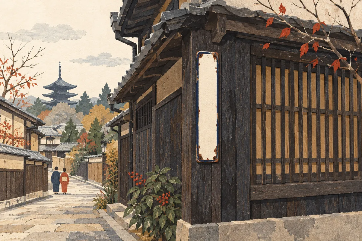
Jintan Town-Name Signs
Jintan town-name signs are street signs showing town names along with the mark of Jintan, a breath-freshening pill brand. The maker, Morishita Jintan, says it began putting up town-name signs around 1910 (Meiji 43), but there are also theories that they were installed in Kyoto in 1915 (Taishō 4) or 1928 (Shōwa 3), and no single date has been settled. Signs that show addresses by combining street names still remain on Kyoto street corners.
Read more
Dontsuki
Dontsuki (どんつき) is a word for the place where a road or the like comes to an end—that is, a dead end or the point where a road meets something head-on. It is said to be used mainly in the Kansai region, and in Kyoto dialect people also say dontsuki dosu (どんつきどす, "it's at the end of the road").
Read more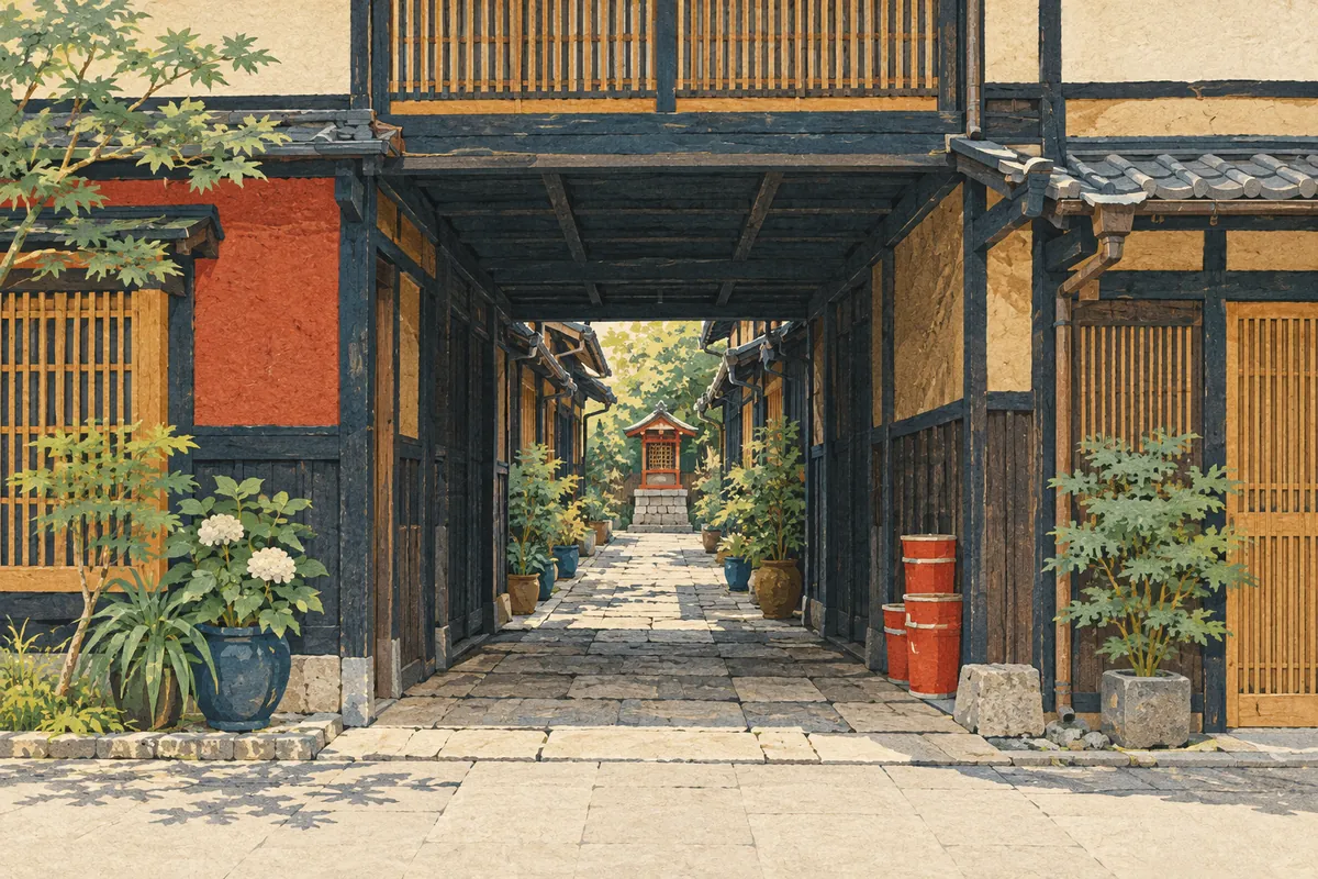
Zushi and Roji
In Kyoto, a narrow lane that connects one street with another is sometimes called a zushi (辻子 or 図子), and one that dead-ends at the back is called a roji (路地, pronounced rōji locally). However, both are often lumped together as roji, and there is no clear-cut distinction.
Read more