
Japanese鶏冠井(かいで)
Kaide
Other spellings and namesKaide-chō / 鶏冠井町
Key points
The town name is Kaide-chō. The nearest Hankyu station is Nishi-Mukō (にしむこう), and 鶏冠井 is not used in station names
蝦手井 appears in a document of 1072 (Enkyū 4), and 鶏冠井殿 (Kaide-dono) in a record of 1176 (Angen 2)
The Daigokuden site of Nagaoka Palace is a national Historic Site, and the place name Daigokuden survives in the town
Every May 3, the Kaide Daimoku Odori, an Intangible Folk Cultural Property of Kyoto Prefecture, is offered at Sekitō-ji in the town
Read Kaide, in the town name Kaide-chō
鶏冠井 is read Kaide (かいで). 鶏冠 is normally read tosaka ("a rooster's comb"), so from the characters you might want to read it Keikan'i or Tosakai, but as a place name it is Kaide. The town name in addresses is 鶏冠井町 (Kaide-chō, かいでちょう), and the reading registered for its postal code is also カイデチョウ.
Mukō City's own materials also add the reading, as in 鶏冠井 (かいで) and 鶏冠井題目踊 (かいでだいもくおどり, Kaide Daimoku Odori). Kaide Village of the Edo period became part of Mukō Town in a merger in 1889 (Meiji 22).
鶏冠井 is not used in station names. The town's nearest station is Nishi-Mukō (にしむこう) on the Hankyu Kyoto Line, and the next station north is Higashi-Mukō (ひがしむこう).
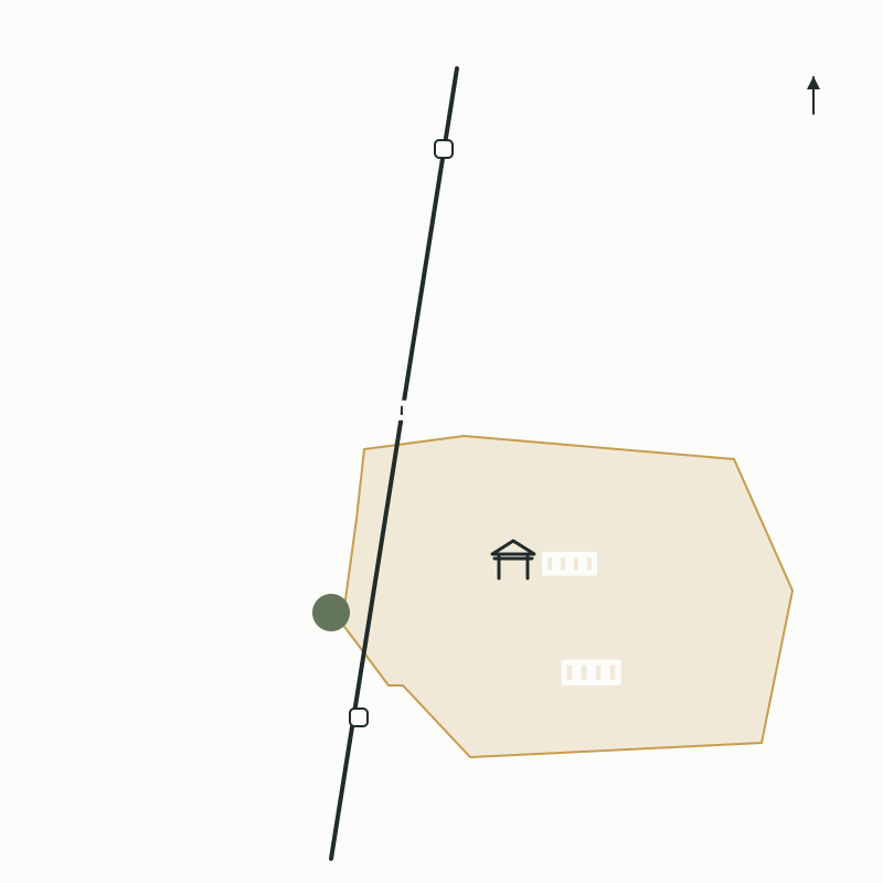
Where is it? North of Nishi-Mukō Station and the Nagaoka Palace site
Kaide-chō is in central Mukō City; its land slopes down from the terrace that continues east of the Mukō Hills to the low flatland built up by the Katsura River's floods. The town straddles both sides of the Hankyu Kyoto Line and spreads east from just north of Nishi-Mukō Station. It borders Terado-chō and Morimoto-chō to the north, Kami-Ueno-chō to the south, and Mukō-machi to the west.
This area corresponds to the center of Nagaoka Palace, the palace compound of Nagaoka-kyō, which was the capital from 784 to 794. The site of the Daigokuden, where the emperor conducted affairs of state, became part of the national Historic Site "Nagaoka Palace Site" in 1964 (Shōwa 39) and is now laid out as Daigokuden Park. The place name Daigokuden also survives in the town. Daigokuden Park is about 300 m north of Nishi-Mukō Station, on the west side of the tracks, and about 1.1 km south of Higashi-Mukō Station.
The site of the Dairi, the emperor's residence, is thought to be the area from the grounds of Kita-Shinkyō-ji in the town southward. Every November 11, a date linked to the day the capital moved to Nagaoka-kyō, the Daigokuden Festival is held in Daigokuden Park.
Locations of Kaide-chō, Nishi-Mukō Station, and Daigokuden Park
Origin of the name: the maple and 蝦手井
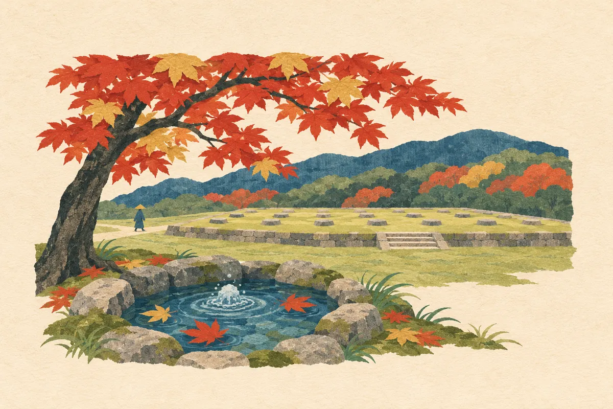
A local story tells that clear water welled up abundantly beneath a maple tree that had turned red, and because the maple's leaves looked like a rooster's comb (tosaka, 鶏冠), the place came to be called 鶏冠井.
In old Japanese, the maple (kaede) was called kaerude. The name comes from the leaf's resemblance to a frog's hand (kaeru no te), and besides 蛙手 ("frog hand"), it is also written with the characters 鶏冠木 ("rooster-comb tree").
Among old documents, a Dajōkan-chō (directive of the Council of State) dated the 5th day of the 9th month of 1072 (Enkyū 4) contains the characters 蝦手井. It appears in a list of holdings of Iwashimizu Hachimangū-ji that were stripped of their status as estates. The reading of this 蝦手井 is not known, and it is presumed to be Kaerutei or Katei.
The characters 鶏冠井 appear in a record of 1176 (Angen 2) as 鶏冠井殿 (Kaide-dono), and from 1228 (Antei 2) the name appears in records as the Kaide estate (Kaide-no-shō), a holding of the Tokudaiji family.
Shinkyō-ji and the Kaide Daimoku Odori
At the end of the Kamakura period, Nichizō (にちぞう), a second-generation disciple of Nichiren, is said to have spread his teachings here. Jikken, the head priest of a Shingon temple, converted, and the temple became Shinkyō-ji (しんきょうじ), said to be the first Nichiren temple in the Kansai region. The town now has Kita-Shinkyō-ji and Minami-Shinkyō-ji.
The Kaide Daimoku Odori (かいでだいもくおどり) is a dance offered at Sekitō-ji in the town during the Hana Matsuri (Buddha's birthday festival) every May 3, and it is an Intangible Folk Cultural Property of Kyoto Prefecture. It is linked to a legend that villagers preparing Nichizō's lunch saw the cooking smoke trace the daimoku chant "Namu Myōhō Renge Kyō" and embraced the Lotus Sutra. The only instruments are a drum and wooden clappers, and the dancers perform 13 pieces holding fans and sedge hats.
Mini quiz for this entry
How is 鶏冠井町, a town name in Mukō City, read?
Sources and verification
Content checked: November 8, 2026
Updated: November 8, 2026
References are in Japanese.