
Japanese上花山(かみかざん)
Kamikazan
Other spellings and namesKazan / 花山
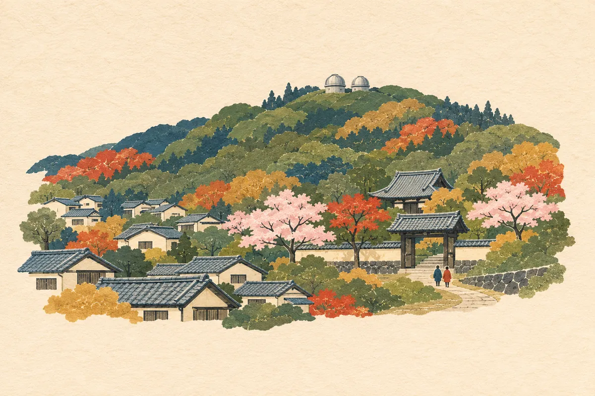
Key points
花山 in the town names is read kazan; in waka poetry it was also sung as Hanayama or Hana-no-yama
Originally a single area called Kazan, later divided into Kitakazan, Kamikazan, and Shimokazan
Emperor Kazan took Buddhist vows at Gankei-ji (Kazan-ji) in 986 (Kanna 2)
Kwasan Observatory, in Kitakazan-Ōmine-chō, was founded in October 1929
Six towns read Kamikazan
上花山 is read Kamikazan (かみかざん). The six town names are 上花山旭山町 (Kamikazan-Asahiyama-chō, かみかざんあさひやまちょう), 上花山久保町 (-Kubo-chō, くぼちょう), 上花山講田町 (-Kōda-chō, こうだちょう), 上花山坂尻 (-Sakajiri, さかじり), 上花山桜谷 (-Sakuradani, さくらだに), and 上花山花ノ岡町 (-Hananooka-chō, はなのおかちょう), and to the north is a row of town names beginning with 北花山 (Kitakazan, きたかざん).
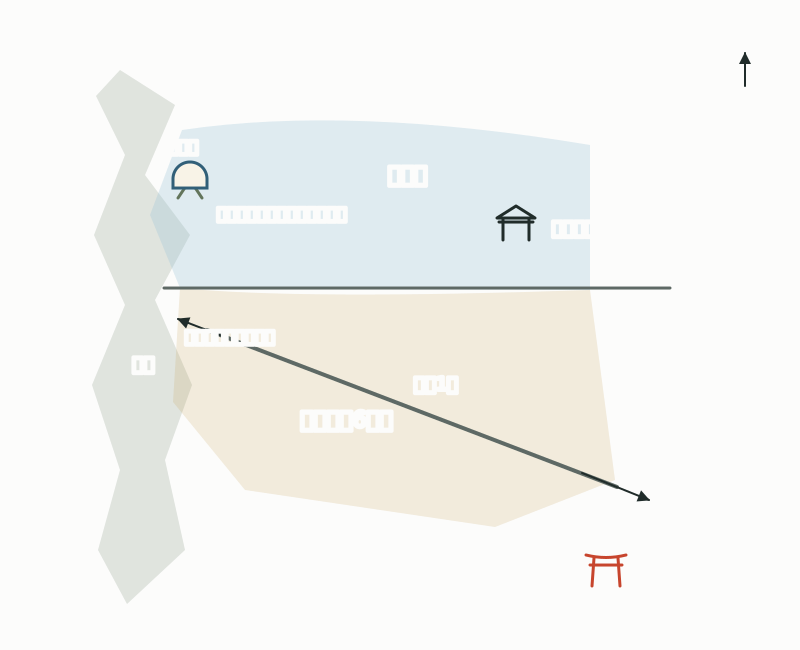
花山 was also read Kasan in the past, and in waka poetry it was an utamakura (a place celebrated in poems) sung as Hanayama or Hana-no-yama. Kamikazan-Kubo-chō and Kamikazan-Hananooka-chō are split between school zones: north of National Route 1 belongs to Kagamiyama Elementary School and Kazan Junior High School, and south of it to Dodo Elementary School and Yamashina Junior High School (as of April 2019, Heisei 31).
East of the Higashiyama hills, over the ridge from Imakumano and Seikan-ji
Kamikazan lies on the eastern slopes and foothills of the Higashiyama hills. The former Kamikazan Village bordered Imakumano in Higashiyama Ward to the west along Mount Rokujō; Seikan-ji in Higashiyama Ward and Kitakazan in Yamashina Ward to the north along the Shibutani Kaidō; and Kawata to the south. Irrigation water was hard to come by, and there were reservoirs such as Takitsubo Pond and Sakuradani Pond.
National Route 1 runs through the town, and Keihan Bus routes running between the Gojō-zaka / Kiyomizu-michi area and Yamashina stop at Kamikazan Hananooka-chō and Kamikazan Kubo-chō (as of March 29, 2026).
Locations of Kamikazan, Kitakazan, and Kwasan Observatory
The name Kazan and Gankei-ji (Kazan-ji)
Gankei-ji, a Tendai temple in Kitakazan-Kawara-chō, is said to have been founded by the high priest Henjō in 869 (Jōgan 11) (some accounts date its founding to 877, Gankei 1). From the early Heian period it was also called Kazan-ji, and simply saying "Kazan" is said to have often meant this temple. The temple stands at the southeastern foot of Kazan-yama (221 m above sea level).
Emperor Kazan (968–1008) is the emperor who, in 986 (Kanna 2), gave up the throne because of a scheme by Fujiwara no Kaneie and others, and took Buddhist vows at this temple. The temple was founded more than 100 years before the emperor took his vows, which means the name Kazan also existed before then.
As for the origin of the place name, there is also a theory that it was called Kachō (華頂, かちょう) in the time of Emperor Tenji and was changed to Kazan when the capital moved to Heian-kyō, though some regard it as hard to believe. Gankei-ji's mountain name is Kachōzan. The area was originally a single unit called Kazan, and it is said to have split into the three villages of Kitakazan, Kamikazan, and Shimokazan in 1589 (Tenshō 17), with Kitakazan and Shimokazan merging during the Kanpō era (1741–44).
Kwasan Observatory and Kazan Inari Shrine
Kyoto University's Kwasan Observatory stands at the summit of Kazan-yama (かざんやま) in the Higashiyama hills behind Kiyomizu-dera, and its address is Kitakazan-Ōmine-chō. It was founded in October 1929, and its main building, annex, and other structures completed the same year were certified in 2014 as "Buildings and Gardens that Color Kyoto" by Kyoto City. From the Yamashina basin side, if you look up at the Higashiyama hills to the northwest, you can make out a pair of silver domed roofs on the mountaintop.
On designated Saturdays and Sundays it opens to the public in the daytime, and the Saturday self-guided course, which needs no reservation, costs 1,000 yen for adults and 500 yen for elementary, junior high, and high school students; elementary and junior high school students must be accompanied by a guardian (as of November 2026). Because it is in the mountains, visitors are advised to come by car or taxi, and the Higashiyama Driveway, which you would follow on foot, has no sidewalk.
Southeast of Kamikazan, in Nishinoyama-Kakenoue-chō, stands Kazan Inari Shrine. It is said to have begun when it was built in 903 (Engi 3) at the command of Emperor Daigo, and tradition holds that it was once known as Nishiyama Inari and, in the early modern period, also as Ōishi Inari. Today it is called Kazan Inari (かざんいなり). The Inari mound in its grounds carries a story that the swordsmith Sanjō Kokaji Munechika (さんじょうこかじむねちか) forged the famous sword Kogitsunemaru here.
Mini quiz for this entry
In Kamikazan-Kubo-chō, Yamashina Ward, the elementary school children attend depends on whether they live north or south of a certain road. Which road?
Sources and verification
Content checked: November 8, 2026
Updated: November 8, 2026
References are in Japanese.
- 京都市教育委員会「京都市通学区町名一覧(山科区)」
- コトバンク「上花山村」(日本歴史地名大系)
- コトバンク「北花山村」(日本歴史地名大系)
- コトバンク「花山」(精選版 日本国語大辞典・日本歴史地名大系)
- コトバンク「元慶寺」(デジタル大辞泉・精選版 日本国語大辞典・日本歴史地名大系)
- コトバンク「花山天皇」(精選版 日本国語大辞典・改訂新版 世界大百科事典)
- 京都大学大学院理学研究科附属天文台「花山天文台」
- 京都大学大学院理学研究科附属天文台「歴史」
- 京都大学大学院理学研究科附属天文台「花山天文台 土日公開」
- 京都大学大学院理学研究科附属天文台(所在地)
- 京都市文化市民局「京都を彩る建物や庭園」(花山天文台)
- 京都市山科区役所「「花山稲荷神社」への観光案内板の設置について」(平成25年3月)
- 京阪バス「山科営業所 運賃表」(2026年3月29日)